CURATED CATEGORY / Access

Aerial tramways

Reversible aerial tramways with cabins travelling between stations.

PLACES IN THE CURRENT INDEX: 21

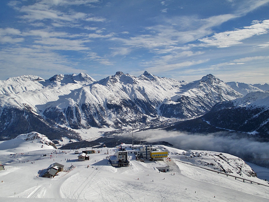
Photo: Andreas Faessler / Wikimedia Commons · CC BY-SA 3.0
Corviglia station and snowy Upper Engadin mountains in a genuine 11 January 2014 archive photograph by Andreas Faessler; not current conditions.

CATEGORY MAP / ALL CURRENT POINTS

Published places in this category: Cable car

This map is generated from the same category rule as the list. Select a numbered marker to open the complete place profile.

Aerial tramways21 verified places
  • Open for skiing
  • Closed today · opening within 14 days
  • Closed for skiing
  • Unknown / uncertain

Colours show the published skiing status or confirmed operating calendar, not whether every lift is running. Check the operator before travel.

Confirmed dates change colours automatically in the place’s local time. Tentative dates, conflicting reports and expired checks remain black.

WHAT QUALIFIES

What you can find here.

This category belongs to “Access”. Places qualify when their documented features match it, and may appear in several categories. Open a profile for checked dates, access rules and links to the operator’s current status.

CURRENT RESULTS

Source-checked place profiles.

Browse other categories
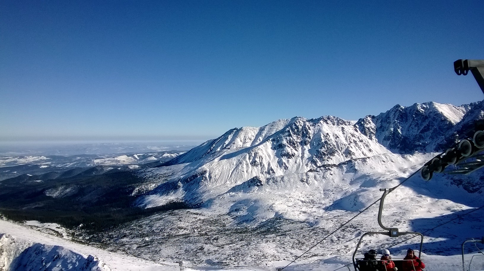
Archive photograph of Kasprowy Wierch.  Photo: Wiola19xxx / CC BY 3.0. Original bytes; display crop. AUTUMN MAINTENANCE / SKI PISTES CLOSED001

Tatry

Kasprowy Wierch

Zakopane, Poland

Two demanding natural-snow bowls below the 1,987 m summit, with cable-car access from Kuźnice and a separately managed return to the valley.

Two alpine cirques and the Goryczkowa valley return 1 two-stage aerial tramway; Gąsienicowa 4-seat and Goryczkowa 2-seat chairlifts.
Full place guide
Corviglia station and snowy Upper Engadin mountains in a genuine 11 January 2014 archive photograph by Andreas Faessler; not current conditions. WINTER PREPARATIONS009

Albula Alps / Upper Engadin

Corviglia

St. Moritz / Celerina, Switzerland

High alpine pistes above St. Moritz and Celerina, with distinct Signal, Marguns and Piz Nair access.

Signal, Corviglia, Marguns and Piz Nair sectors Funiculars, aerial cableways, a gondola, chairlifts and surface lifts; check the actual Winter status.
Full place guide
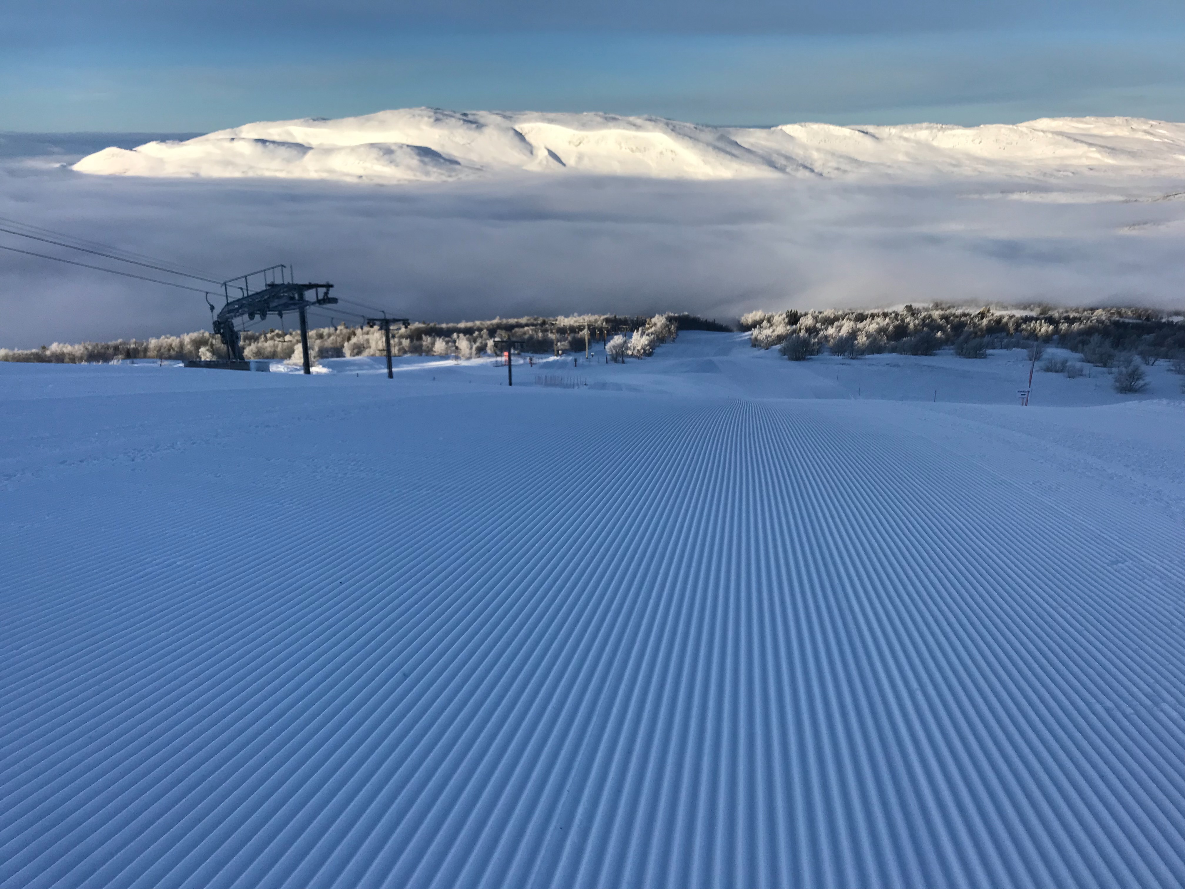
Groomed piste and lift above low cloud at Åre in kallerna’s genuine 13 February 2018 archive photograph; not current conditions. WINTER 2026/27 PLANNING013

Åreskutan and Mullfjället

Åre alpine ski areas

Åre, Sweden

Village-to-mountain skiing on Åreskutan, family learning terrain in Björnen and the separate Duved–Tegefjäll lift network farther west.

Åre by, Björnen and the separate Duved / Tegefjäll network Chairs, T-bars, button lifts, conveyors, a funicular, gondola and reversible cable car; sector counters and advertised totals differ.
Full place guide
Vogel terrain and lifts on 18 July 2025, by Viktar Palstsiuk; summer archive photograph, not current snow or operation.017

Julian Alps

Vogel Ski Centre

Ukanc / Bohinj, Slovenia

Natural-snow alpine terrain above Lake Bohinj, with an upper-station base, Zadnji Vogel connections and a long valley return that needs its own opening check.

Upper pistes and the conditional Žagarjev graben valley return Valley aerial tramway; separate Zadnji Vogel gondola, chairs, drag lifts and carpet. Winter operation unconfirmed.
Full place guide
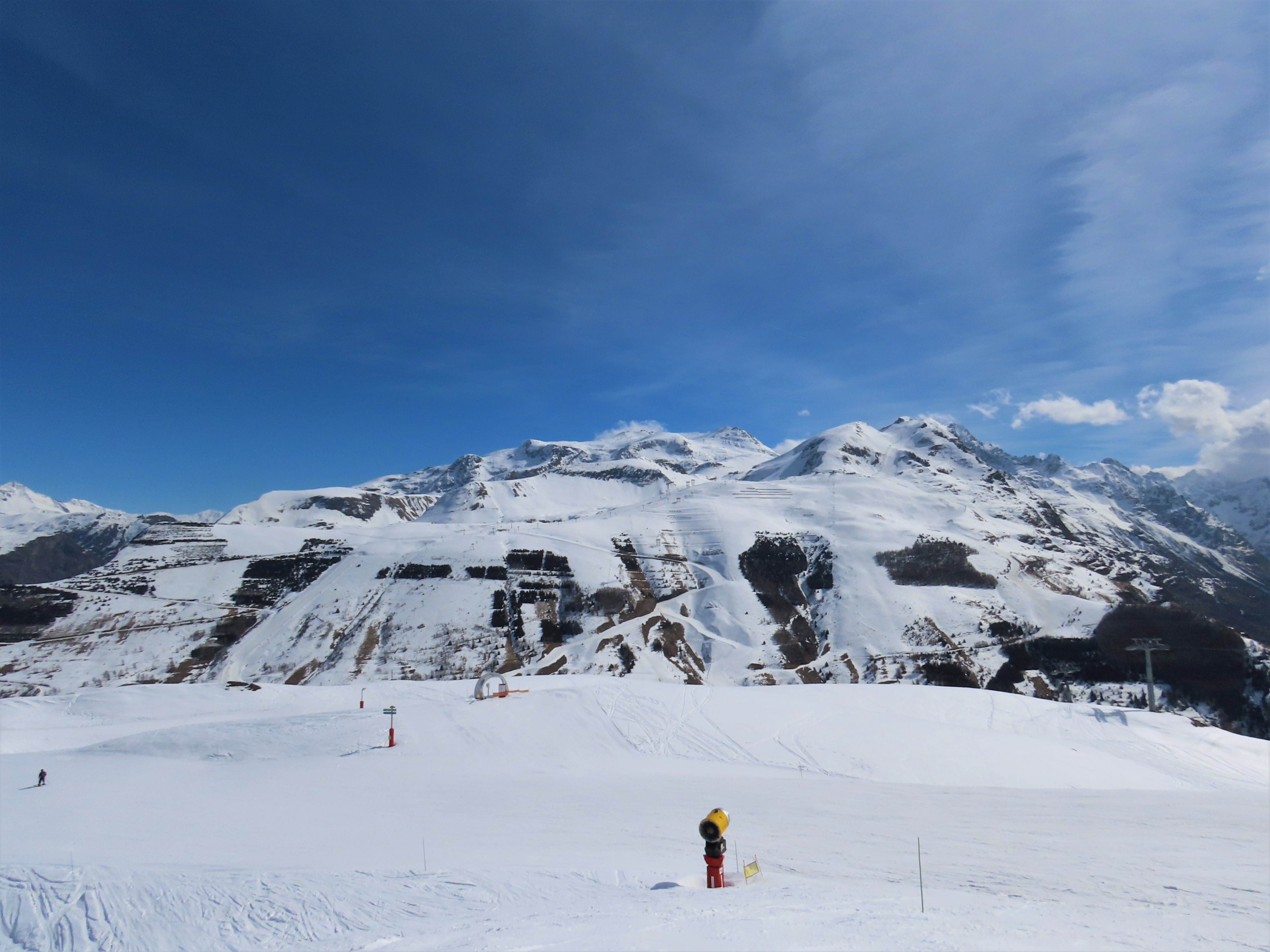
Les 2 Alpes alpine slopes seen from Mais on 20 March 2025, photographed by Rémih; archive winter context, not present snow or operating conditions.021

Oisans / Écrins

Les 2 Alpes

Les Deux Alpes, France

A high-altitude alpine area above a long resort plateau, with Jandri access to the glacier and a separate Vallée Blanche side. Easy terrain higher up does not make every return to the village easy.

Main alpine mountain, glacier sectors and Vallée Blanche; La Grave remains separate Two-stage Jandri 3S cable car, mixed chair/gondola installations, gondolas, chairs, surface lifts and separate high-altitude funicular.
Full place guide
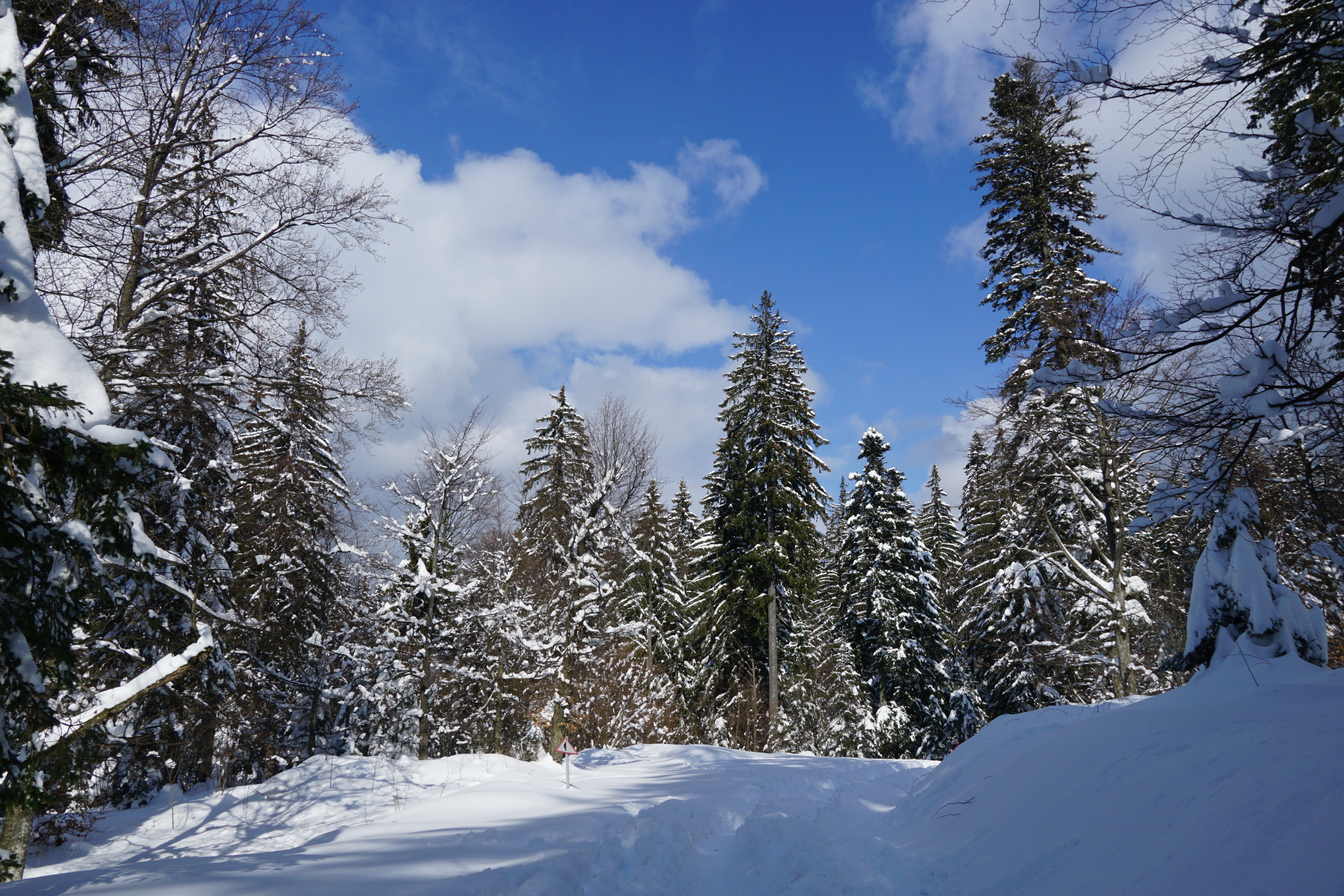
Snow-covered forest and road near Poiana Brașov, photographed by xulescu_g on 21 March 2021; archive surroundings context, not a named piste, lift base or current conditions.030

Postăvarul

Poiana Brașov

Poiana Brașov, Romania

Marked Postăvarul pistes above Poiana Brașov, with separate village learning areas and upper-mountain uplift.

Managed marked alpine pistes above the village; walking, touring and unmarked backcountry excluded. Two cable cars, a circulating gondola, Ruia/Lupului chairs and separately identified drag lifts.
Full place guide
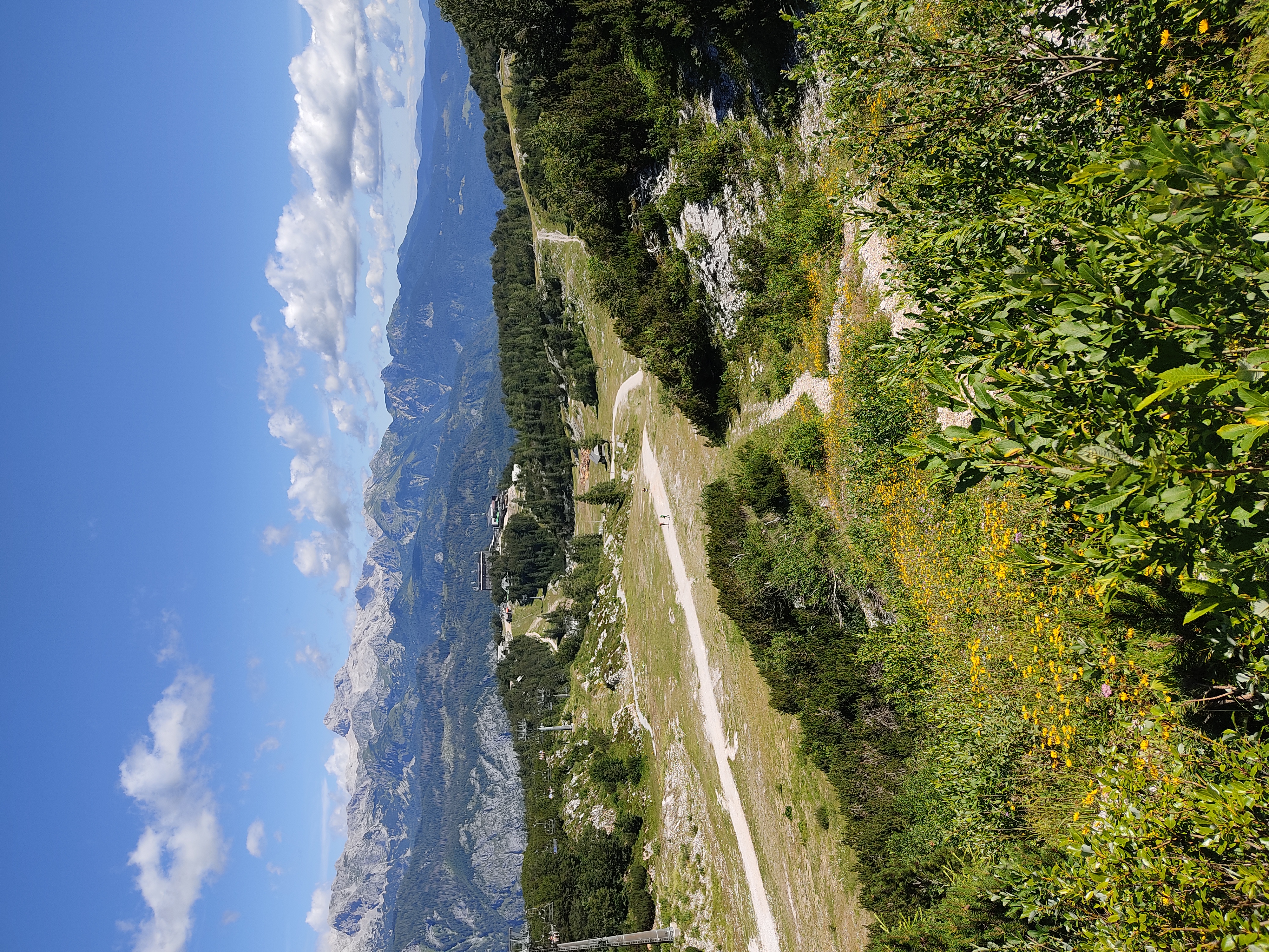
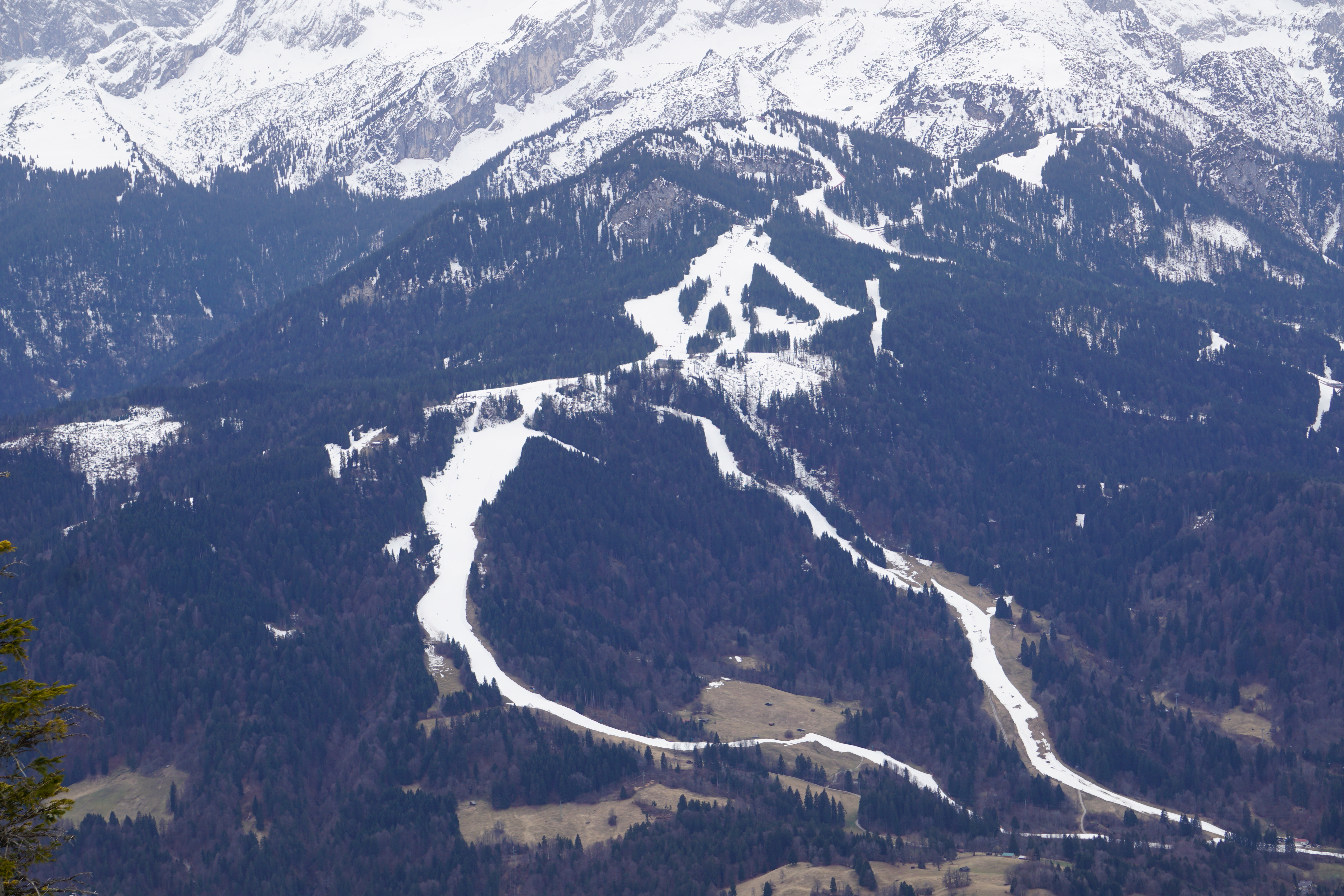
Hausberg sector above Garmisch-Partenkirchen, photographed on 21 March 2025 by Wikitarisch; archive view, not current conditions. WINTER OPENING EXPECTED032

Wetterstein

Garmisch-Classic ski area

Garmisch-Partenkirchen / Grainau, Germany

Three alpine sectors above Garmisch-Partenkirchen, with distinct Hausberg and Kreuzeck/Alpspitzbahn valley starts.

Managed alpine pistes across Hausberg, Kreuzeck and the Osterfelder/Alpspitze sector; ski-route, uphill, Nordic and backcountry terrain excluded from own geometry. Separate Hausberg, Kreuzeck and Alpspitzbahn valley starts; upper cable cars, chairs and surface lifts have distinct scopes.
Full place guide
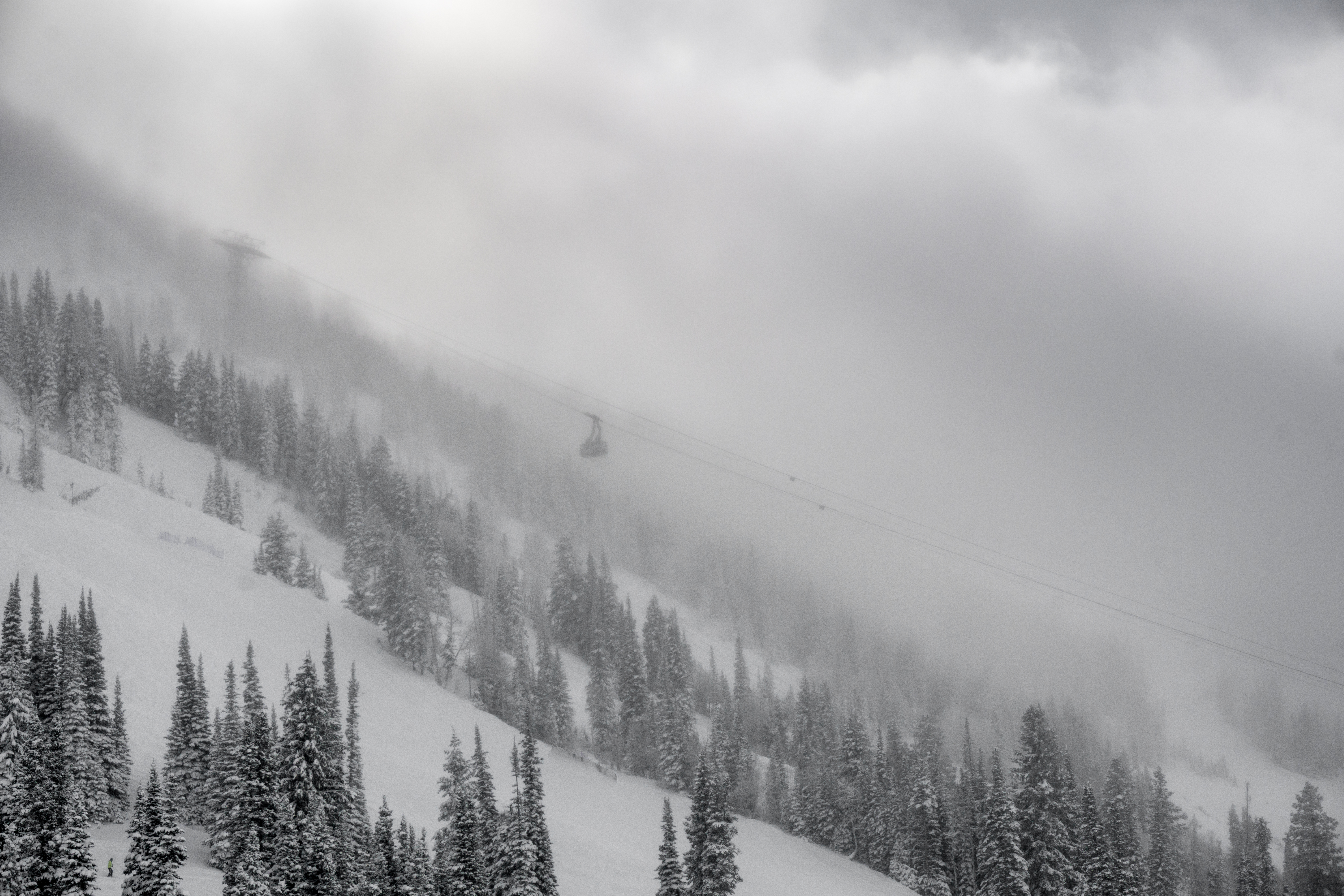
Archive December 2016 Snowbird photograph of a tram cabin above snow-covered trees in mist.044

Wasatch Range

Snowbird alpine ski area

Snowbird, United States

Plan lift-served alpine skiing at Snowbird in Utah’s Little Cottonwood Canyon, from the Snowbird Center and Creekside bases to the three main mountain sectors. Use the independent scoped map alongside current operator closures and return instructions.

Operator advertises 140+ runs and 2,500 skiable acres; community map objects are not its piste inventory. Aerial Tram, passenger chairs and conveyors; official pages give differing totals. Check the actual lift report.
Full place guide
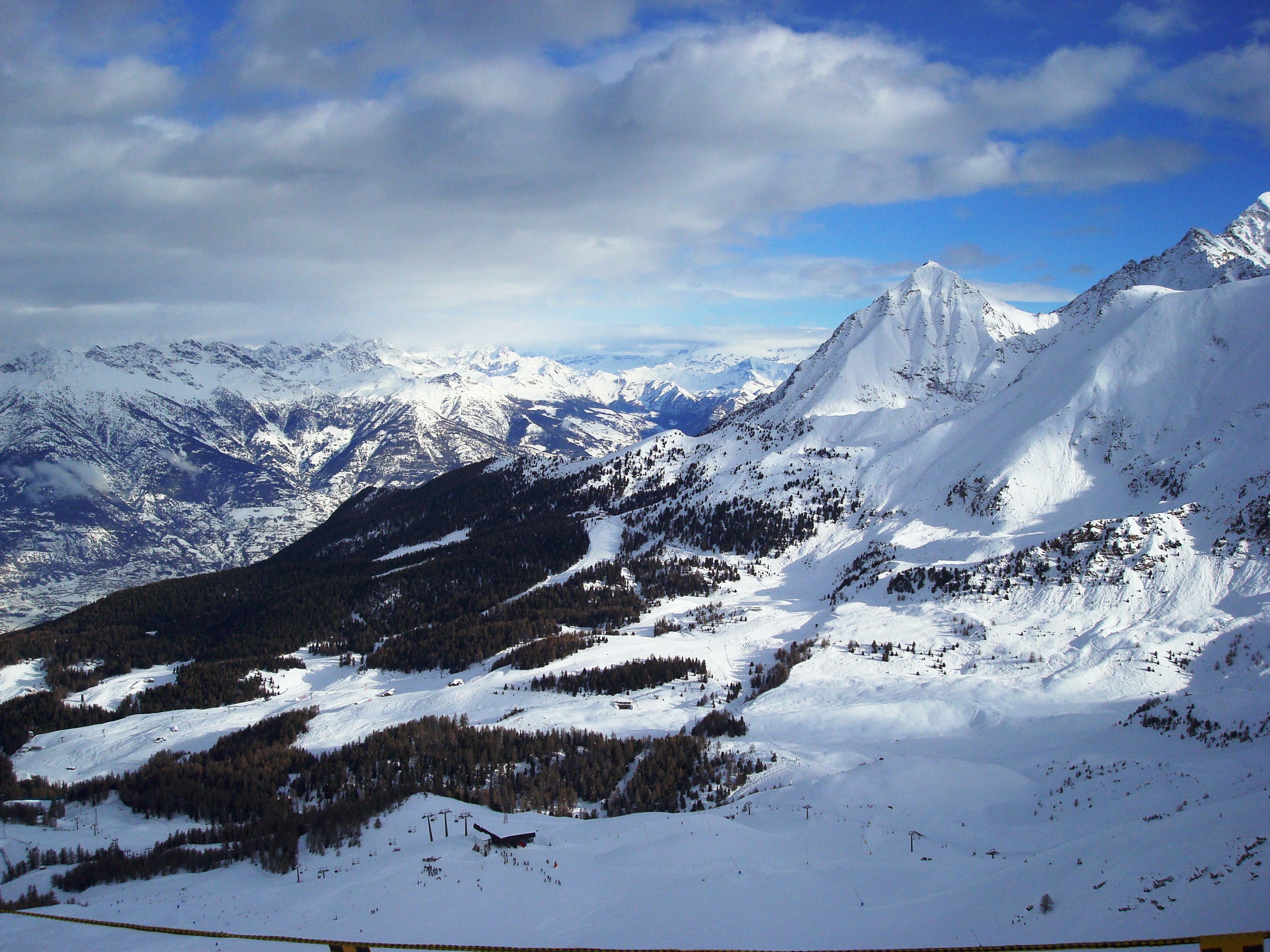
Archive December 2010 view over Pila’s snow-covered slopes, conifer woods and surrounding Aosta Valley mountains.045

Alps

Pila alpine ski area

Pila / Gressan, Italy

Plan managed alpine skiing above Aosta, with a valley gondola approach to Pila village and separate Chamolé, Gorraz and upper-bowl sectors. Check the open connection and your return before heading uphill.

Operator overview advertises 70 km, but its piste totals differ between pages. Mapped community objects are not an official piste inventory. Valley gondola, village/upper gondola routes, cable car, chairlifts and beginner conveyors; check the dated individual report and boarding notices.
Full place guide
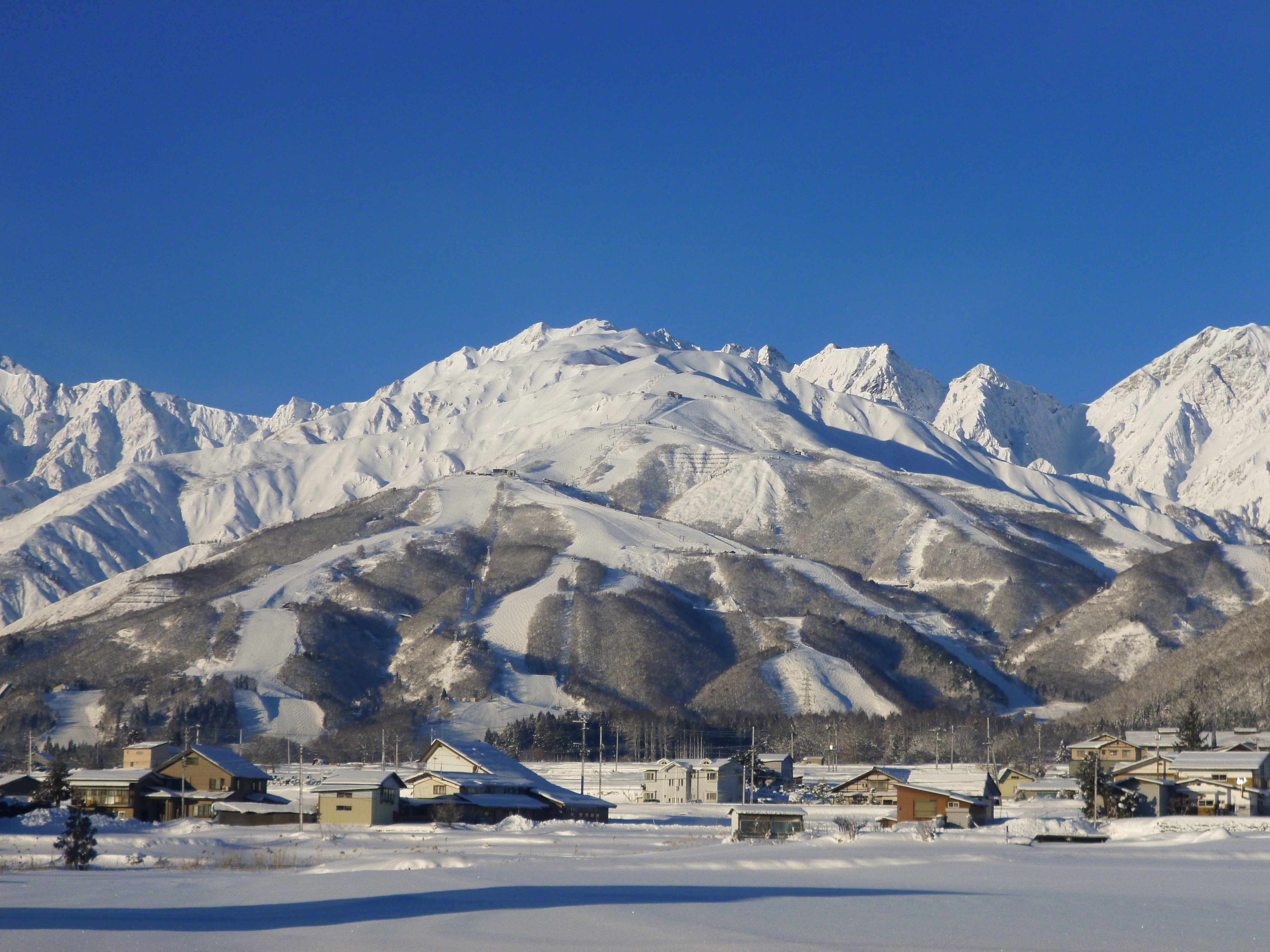
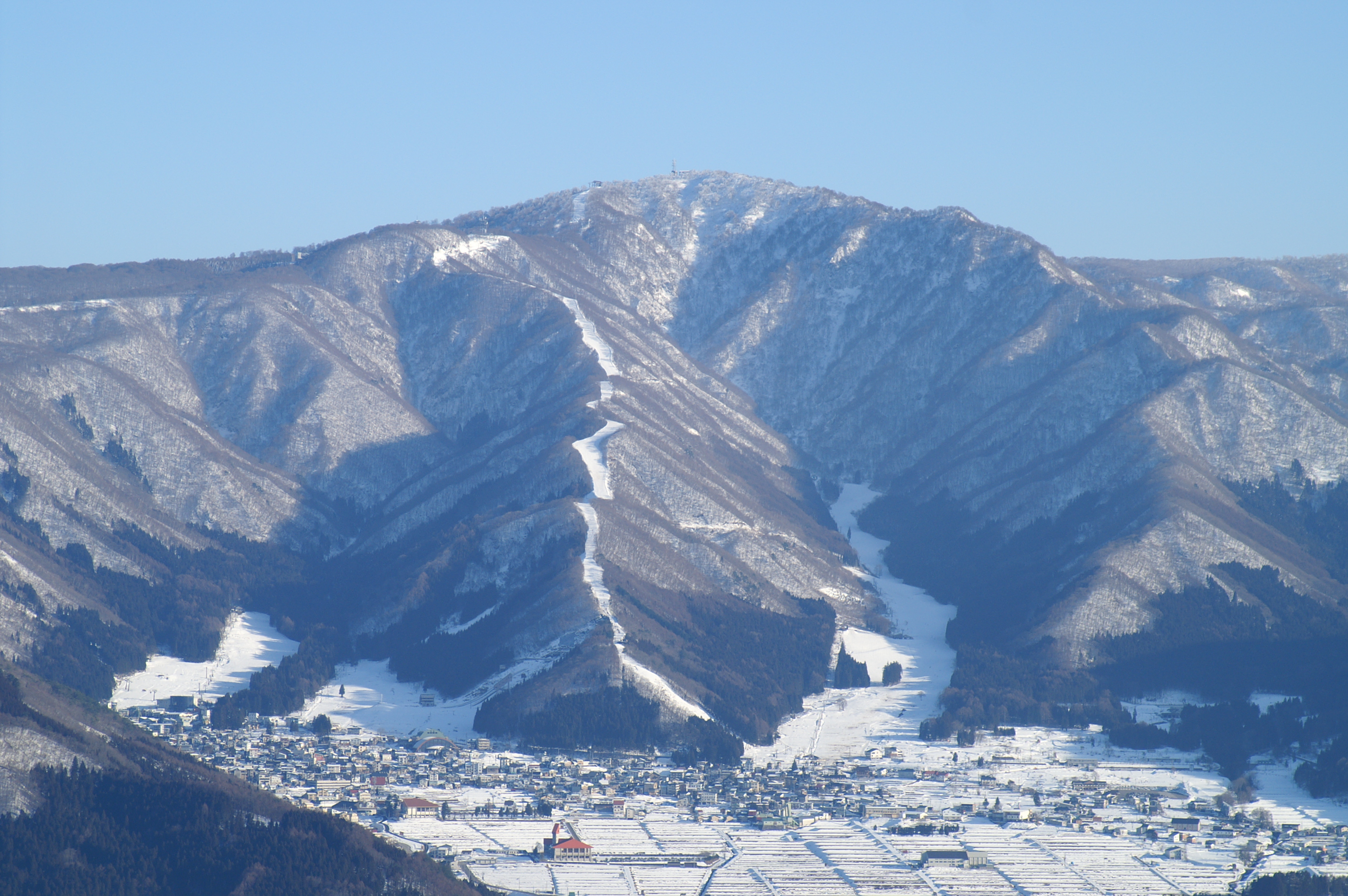
Archive January 2013 view of snowy Happo-One slopes and mountain ridges above village buildings.047

Northern Japanese Alps

Hakuba Happo-One alpine ski area

Hakuba, Japan

Plan managed alpine skiing at Hakuba Happo-One from Nakiyama, the Adam gondola or Sakka. Match your open descent, lift ticket and return to the base you actually use.

Published overview and report rows use different scopes; community segments are not a resort piste inventory. Adam gondola and named chairlift corridors connect distinct bases and upper terrain; actual first/last services remain unconfirmed.
Full place guide
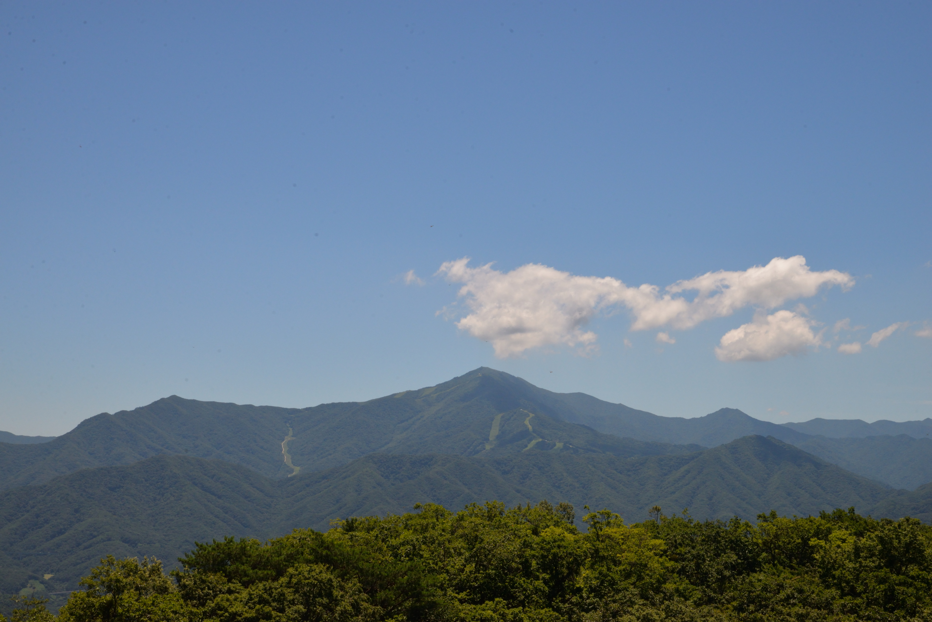
Historical July 2025 summer view of Deogyusan from Jeoksangsan observatory, with forested ridges and visible cleared ski corridors.049

Deogyusan

Muju Deogyusan Resort

Muju, South Korea

Plan Muju Deogyusan’s Manseon and Seolcheon alpine sectors with an independent community map, practical base advice and explicit 2026/27 limits.

Undated advertised quantities and differing source scopes are not a reconciled current inventory. Two-base passenger-lift network described by the operator; dated installation-specific operation remains unconfirmed.
Full place guide
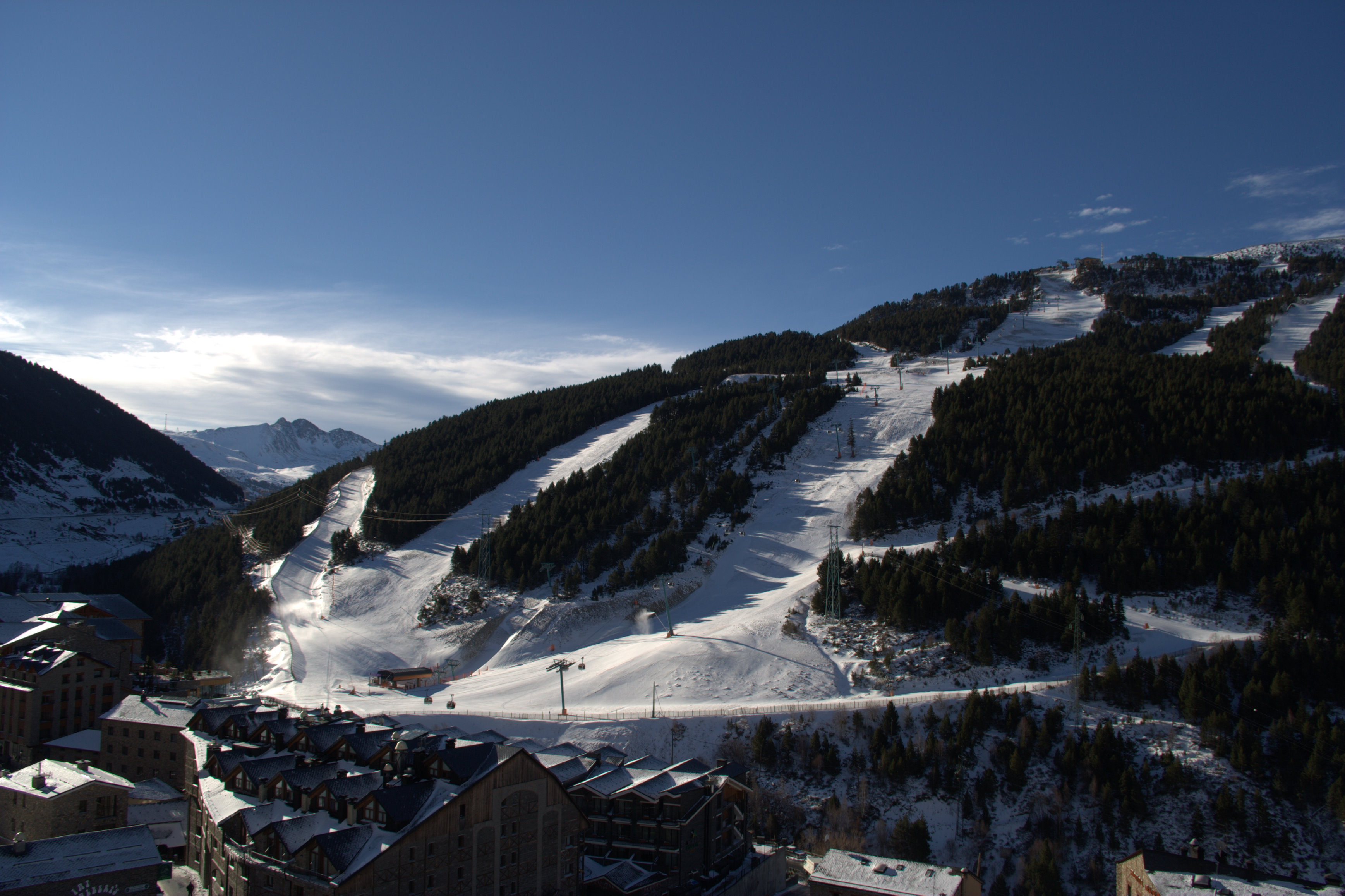
Historical March 2007 winter view of Soldeu village, forested slopes and lift equipment photographed by Albert White.054

Eastern Pyrenees

Grandvalira

Encamp and Canillo, Andorra

Plan Grandvalira’s seven-sector alpine area with an independent map, Funicamp and valley-base orientation, sector returns, dynamic passes and explicit seasonal and safety limits.

The operator advertises 215 km, with differing 140/142 piste totals. The independent map is a conservative community representation, not the operating inventory. Gondolas, chairlifts, surface lifts and learning conveyors provide sector-specific access; exact current operation and final returns require staff confirmation.
Full place guide
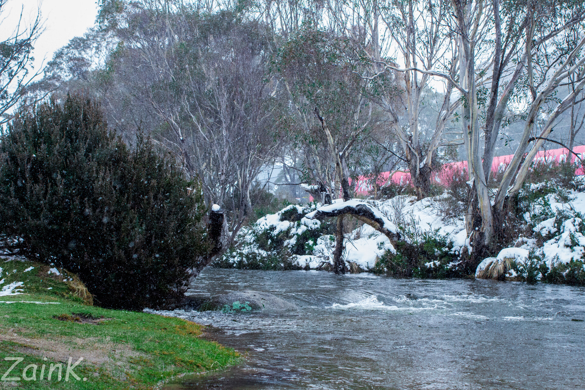
Historical July 2016 photograph of the Thredbo River, snowy village trees and a red-roofed building.060

Snowy Mountains

Thredbo

Thredbo, Australia

Plan Thredbo’s managed alpine terrain with an independent map, Friday Flat and Valley Terminal orientation, and source-linked advice for mountain connections, winter passes, arrival, safety and returning to your starting point.

No complete current operator piste inventory has been independently accepted. The map contains 55 named community downhill segments, which are not 55 distinct pistes or the resort’s total terrain. The independent map contains 15 named community passenger ways: chairs, a gondola, surface lifts and conveyors. These objects do not establish the current operator installation inventory or operation.
Full place guide
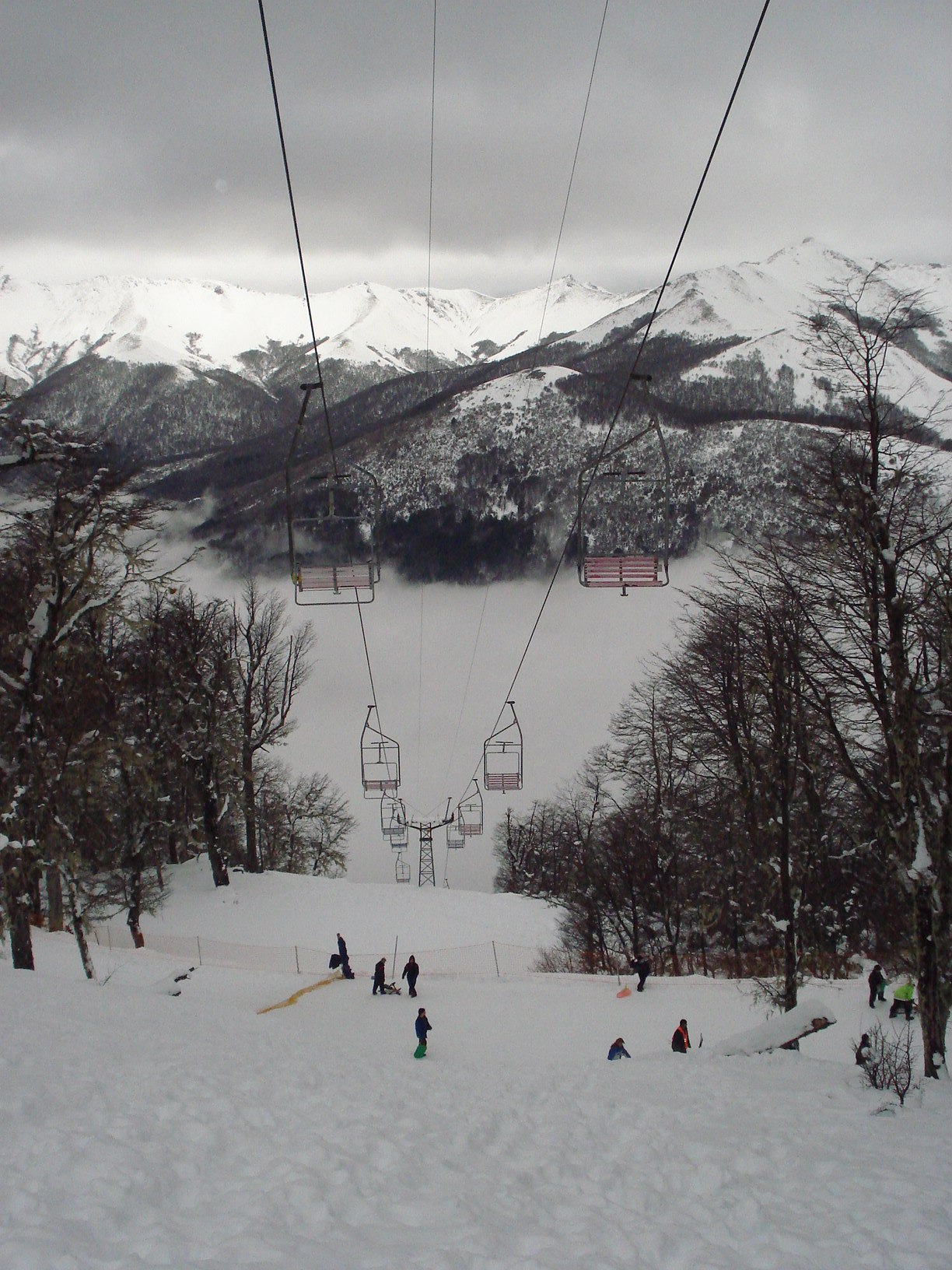
Historical August 2006 photograph at Cerro Bayo showing a chairlift, snowy woodland, distant slopes and small groups of skiers.061

Patagonian Andes

Cerro Bayo

Villa La Angostura, Argentina

Plan Cerro Bayo’s managed alpine terrain above Villa La Angostura with an independent map, orientation from the mountain base to Cota 1500, and sourced advice on sector connections, tickets, arrival, safety and the return.

The operator technical page advertises 24 pistes and 14 km, separately from four unpatrolled off-piste itineraries. The independent map’s 26 community downhill segments are not 26 distinct pistes or an official inventory. The technical source lists 11 installations: two gondolas, six double chairs and three carpets. The independent map retains 11 community passenger alignments; matching totals do not prove a current complete footprint or operation.
Full place guide
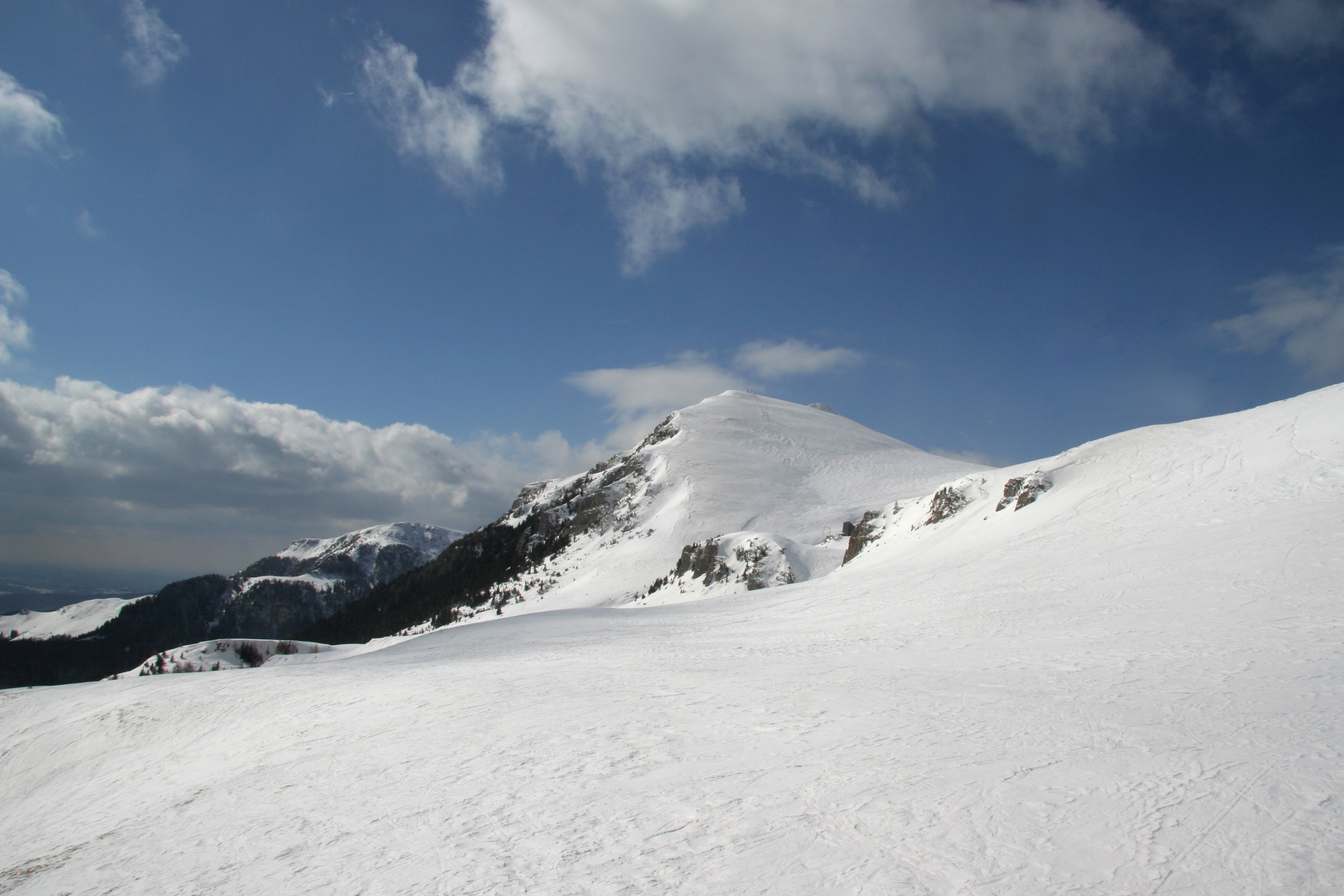
Historical February 2009 photograph of snowy mountain terrain and a rocky ridge at Sinaia’s ski area.064

Bucegi Mountains

Sinaia

Sinaia, Romania

Plan Sinaia’s managed alpine terrain with an independent map, distinct lower bases, plateau and return orientation, exposed-mountain safety advice and clearly dated source limitations.

The operator’s piste table and explanatory lengths have differing scopes. Community objects are not an official piste inventory, measured kilometres or a current opening report. Independent passenger alignments distinguish the town cable car, lower gondola, upper corridors and plateau lifts. Abandoned installations are omitted; source geometry does not establish current service.
Full place guide
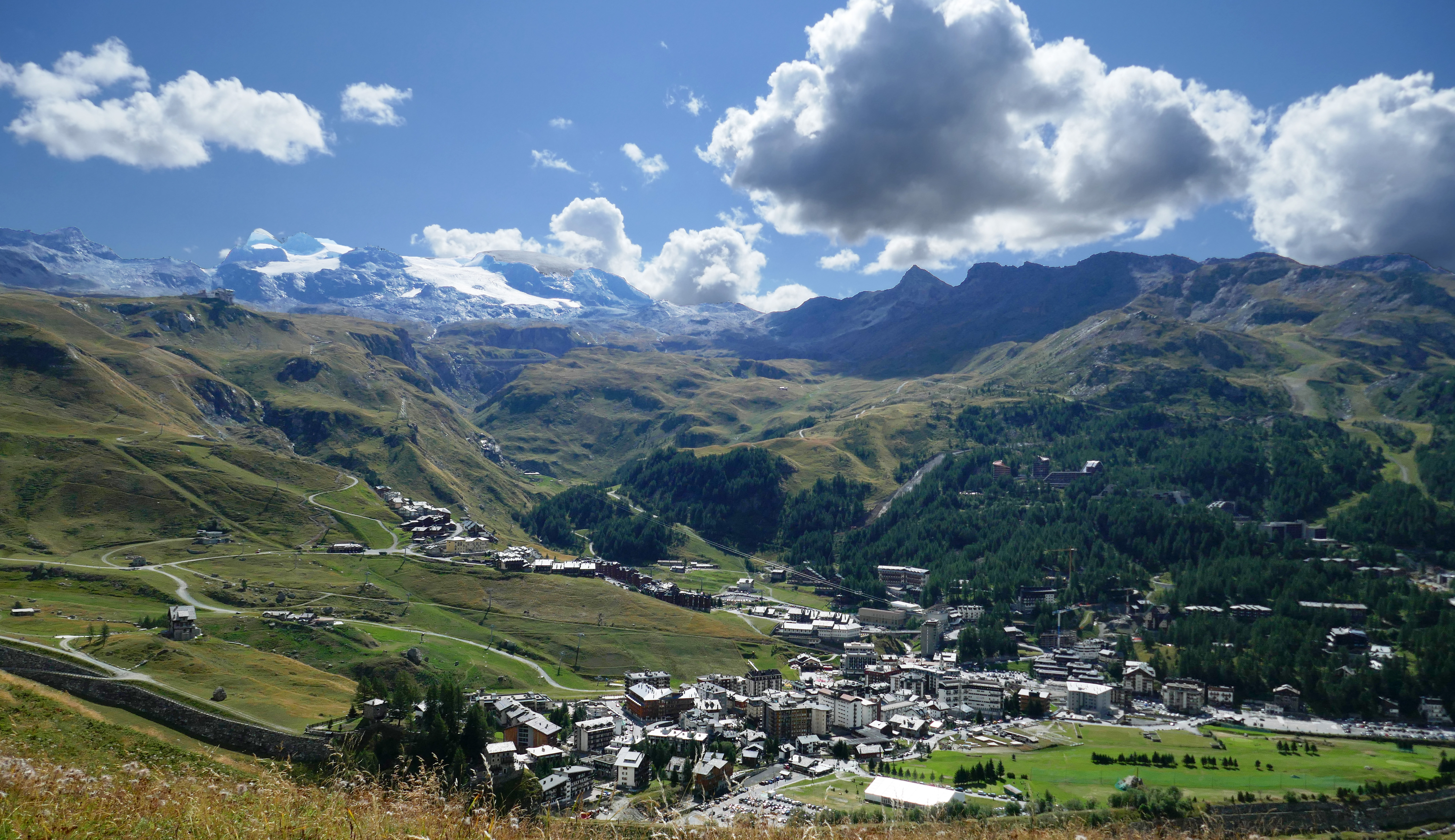
Historical summer view of Breuil-Cervinia village and surrounding mountain slopes, photographed by Tiia Monto on 6 August 2022.077

Pennine Alps

Breuil-Cervinia and Valtournenche

Breuil-Cervinia / Valtournenche, Italy

Choose Breuil-Cervinia or Valtournenche as your Italian alpine base, with an independent map, practical ticket and transport guidance, weather-dependent connections and explicit limits on current skiing.

Separate AVIF inventories; no verified current combined piste total or kilometre claim. Distinct Breuil–Plan Maison and Valtournenche–Salette approaches, passenger chairs and learning lifts; actual availability requires checking.
Full place guide
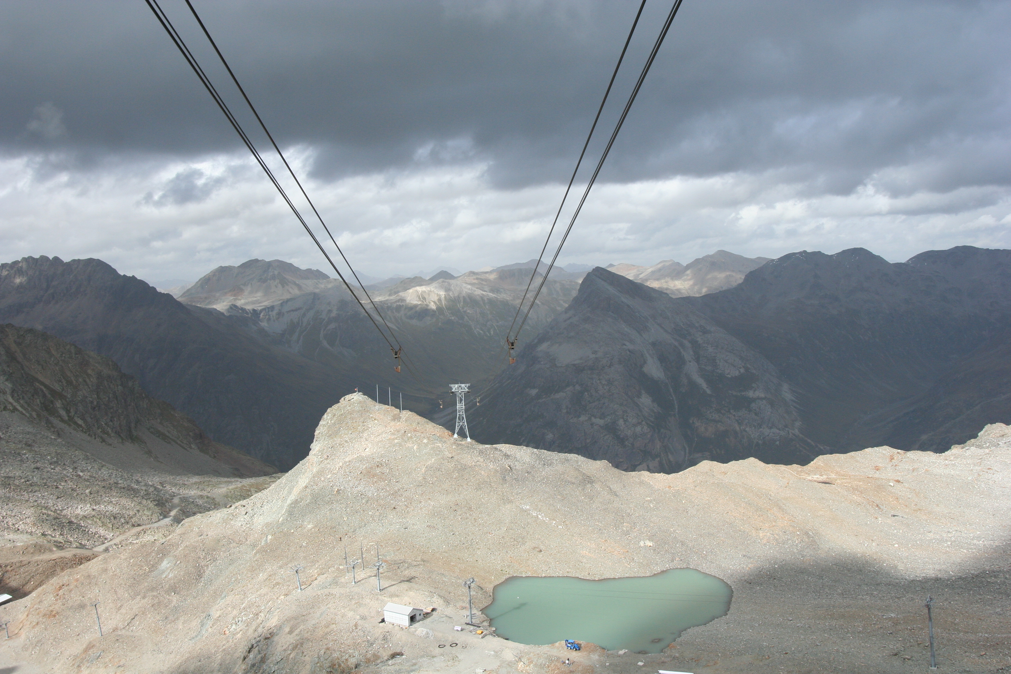
Historical summer 2007 view along the Diavolezza cableway, with rocky mountains and a small lake.110

Bernina Alps

Diavolezza

Pontresina, Switzerland

A high alpine managed ski area above Bernina Diavolezza, with a cable-car base beside the railway and the Berghaus overlooking the Bernina glaciers.

Managed Diavolezza alpine pistes; Lagalb, Corvatsch and the ungroomed Morteratsch itinerary remain separate. Reversible cable car, Diavolezzafirn four-seat chair and a named pony lift; availability checked separately.
Full place guide
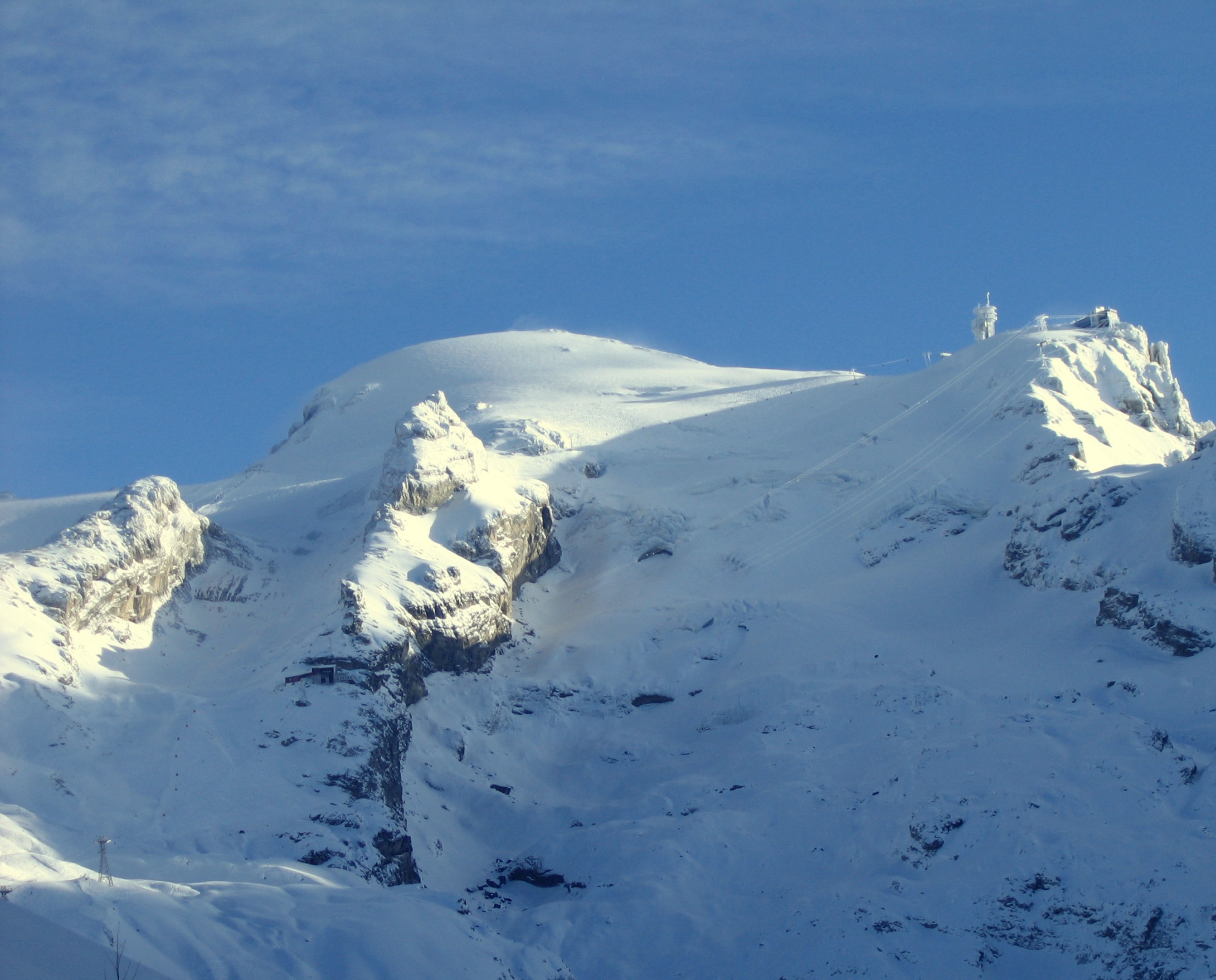
Historical January 2005 winter view of Titlis and its glacier from Trübsee, with snowy cliffs and older summit infrastructure.111

Titlis

Engelberg–Titlis

Engelberg, Switzerland

Managed alpine skiing above Engelberg, linking the Trübsee plateau with Stand and the Titlis glacier on one side and Jochpass, Jochstock and Engstlenalp on the other.

Managed Titlis, Trübsee and Jochpass alpine terrain; Brunni, touring and freeride remain separate. Xpress gondolas, summit cableways, ski chairs and surface lifts; Gerschnialp funicular access is checked separately.
Full place guide
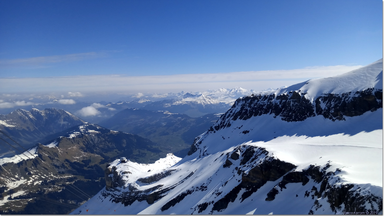
Historical May 2019 snowy mountain view at Glacier 3000, with cableway wires and steep cliffs near Scex Rouge.112

Les Diablerets

Glacier 3000

Les Diablerets / Col du Pillon, Switzerland

Managed alpine skiing on the Glacier 3000 plateau above Col du Pillon, with glacier learning terrain and demanding descents towards Olden and Reusch.

Managed glacier pistes and lower Olden/Reusch descents; Nordic loops, touring and freeride are separate. Col du Pillon–Cabane–Scex Rouge cable cars, glacier chair and surface lifts, and Olden-side chairs; verify each actual connection.
Full place guide
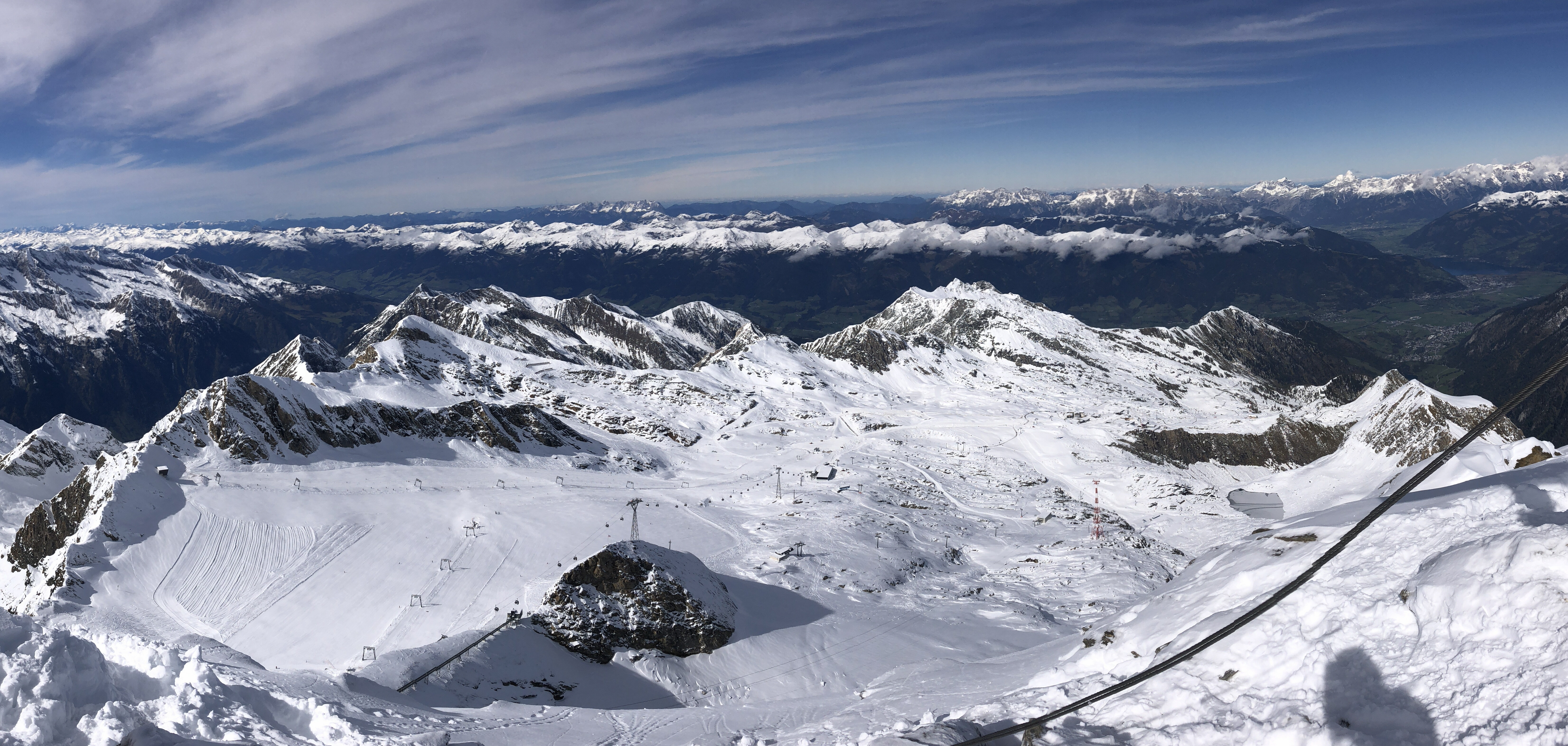
Historical October 2024 view from Kitzsteinhorn across the snowy glacier ski area, lifts and surrounding mountains.113

Hohe Tauern

Kitzsteinhorn

Kaprun, Austria

Glacier alpine skiing above Kaprun, reached from the Kesselfall valley base through Langwied and Alpincenter.

Managed glacier, Alpincenter and Langwied alpine pistes; Maiskogel, Lechnerberg, touring and freeride are separate. Gletscherjet 1 or Panoramabahn from Kesselfall, then separate Alpincenter and glacier connections.
Full place guide
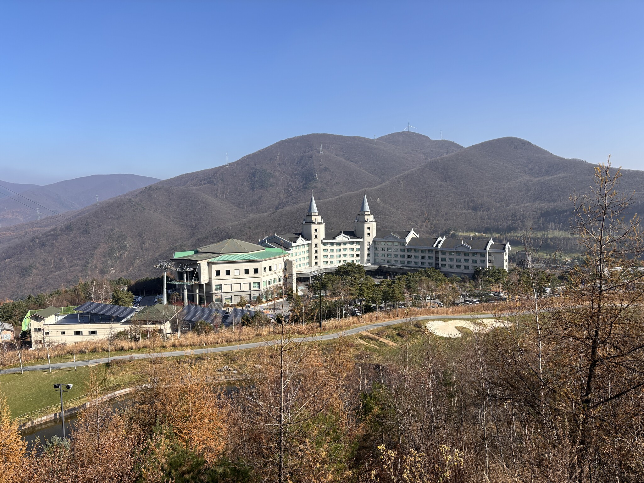
Historical November 2025 autumn view of High1 Palace Hotel and surrounding bare mountain slopes; resort context, not the Valley ski base or current snow.114

Taebaek Mountains

High1 Resort

Gohan, Jeongseon, South Korea

Managed alpine skiing above Gohan in Jeongseon, with separate Valley and Mountain bases and a network of high mountain hubs.

Managed Zeus, Hera, Victoria, Apollo and Athena terrain; published inventories differ. Separate Valley and Mountain ski houses, six named chairlifts and three cable-car alignments.
Full place guide