COUNTRY INDEX / FRANCE

France

Exact skier bases, route-level descriptions, dated event editions and transparent source checks for every Index.ski record currently published in France.

Verified places: 06Places with piste maps: 06Verified events: 06

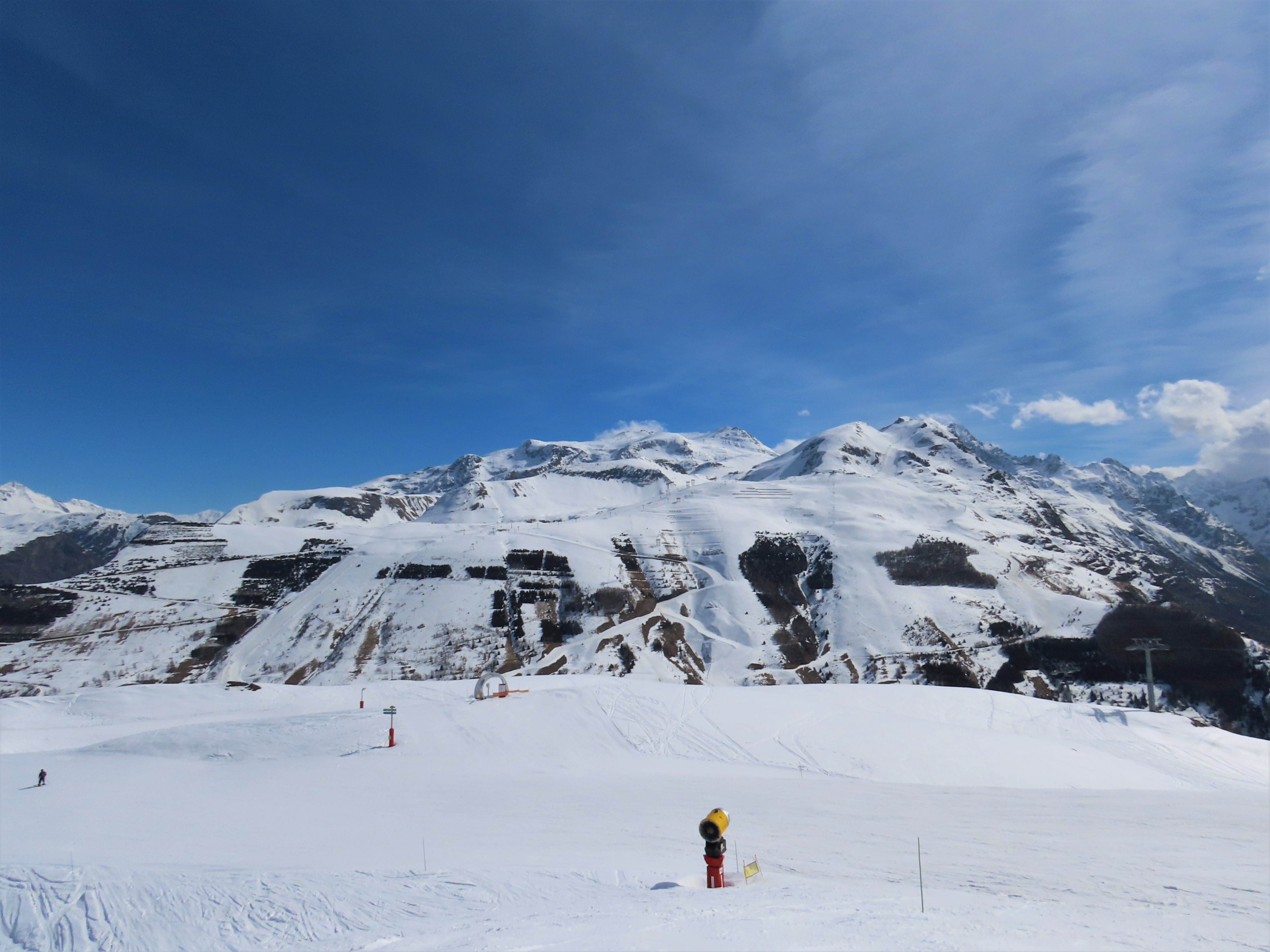
Photo: Rémih / Wikimedia Commons · CC BY-SA 4.0
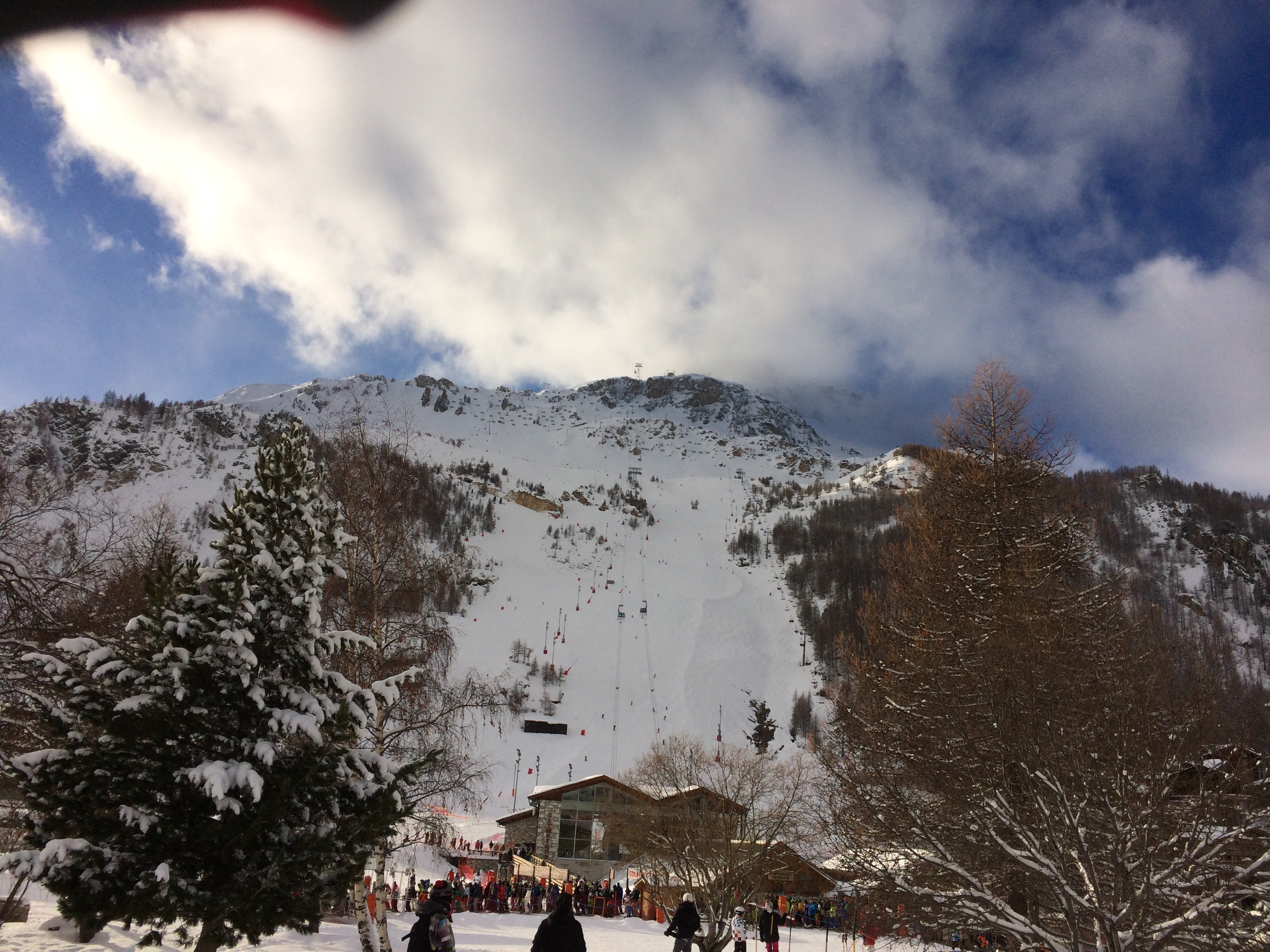
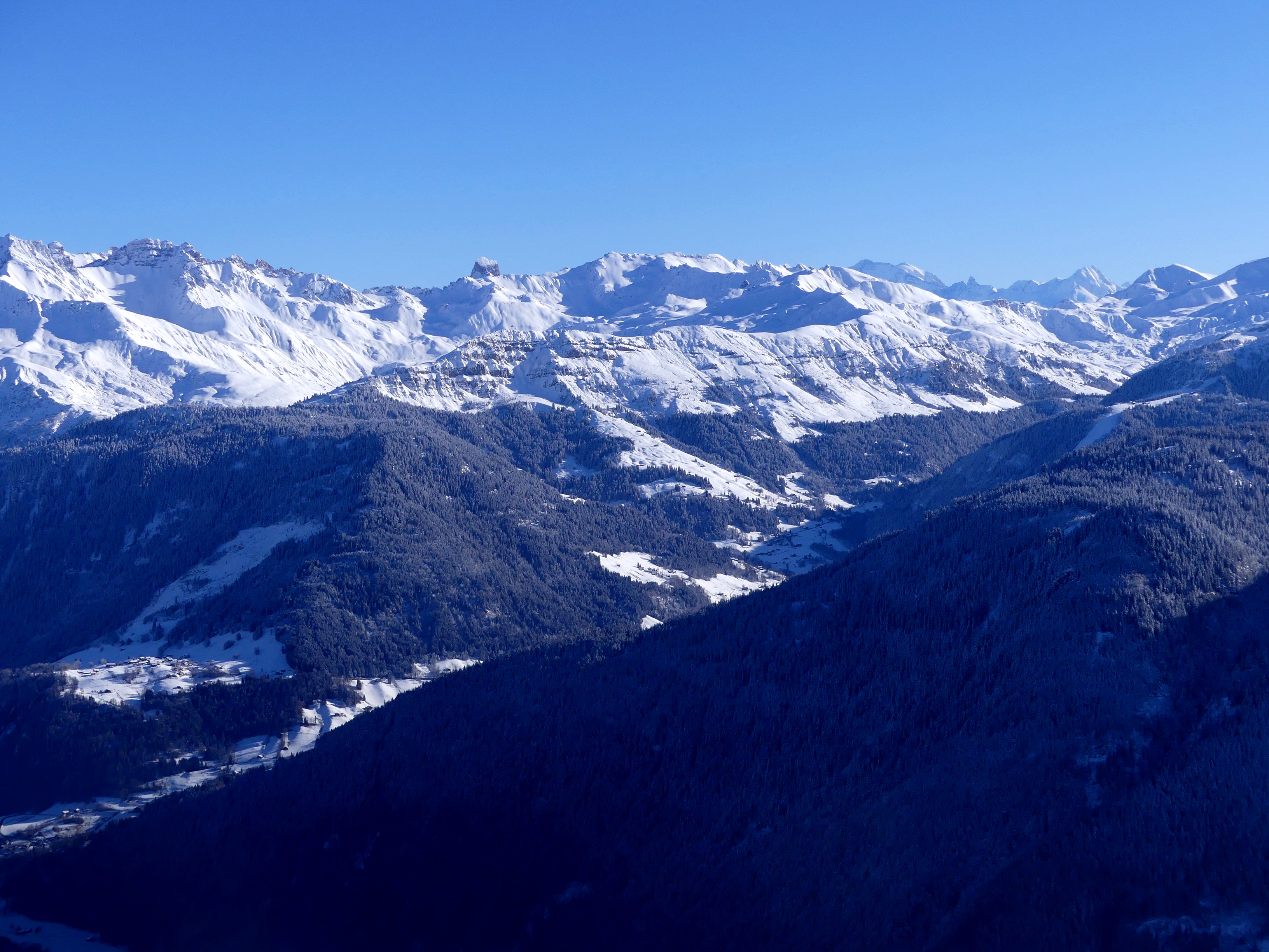
Les 2 Alpes alpine slopes seen from Mais on 20 March 2025, photographed by Rémih; archive winter context, not present snow or operating conditions.

PUBLISHED LOCATIONS

Published places and events — France

This country-only map contains every Index.ski destination and event venue currently published here. Select a marker to open its complete profile.

France12 mapped locations
  • Open for skiing
  • Closed today · opening within 14 days
  • Closed for skiing
  • Unknown / uncertain

Colours show the published skiing status or confirmed operating calendar, not whether every lift is running. Check the operator before travel.

Confirmed dates change colours automatically in the place’s local time. Tentative dates, conflicting reports and expired checks remain black.

LIVE + UPCOMING / NEAREST FIRST

Next verified events — France.

Full event calendar

FULL PLACE GUIDES

Every published destination — France.

OPERATOR SOURCES CHECKED
Les 2 Alpes alpine slopes seen from Mais on 20 March 2025, photographed by Rémih; archive winter context, not present snow or operating conditions.021

Oisans / Écrins

Les 2 Alpes

Les Deux Alpes, France

A high-altitude alpine area above a long resort plateau, with Jandri access to the glacier and a separate Vallée Blanche side. Easy terrain higher up does not make every return to the village easy.

Main alpine mountain, glacier sectors and Vallée Blanche; La Grave remains separate Two-stage Jandri 3S cable car, mixed chair/gondola installations, gondolas, chairs, surface lifts and separate high-altitude funicular.
Full place guide
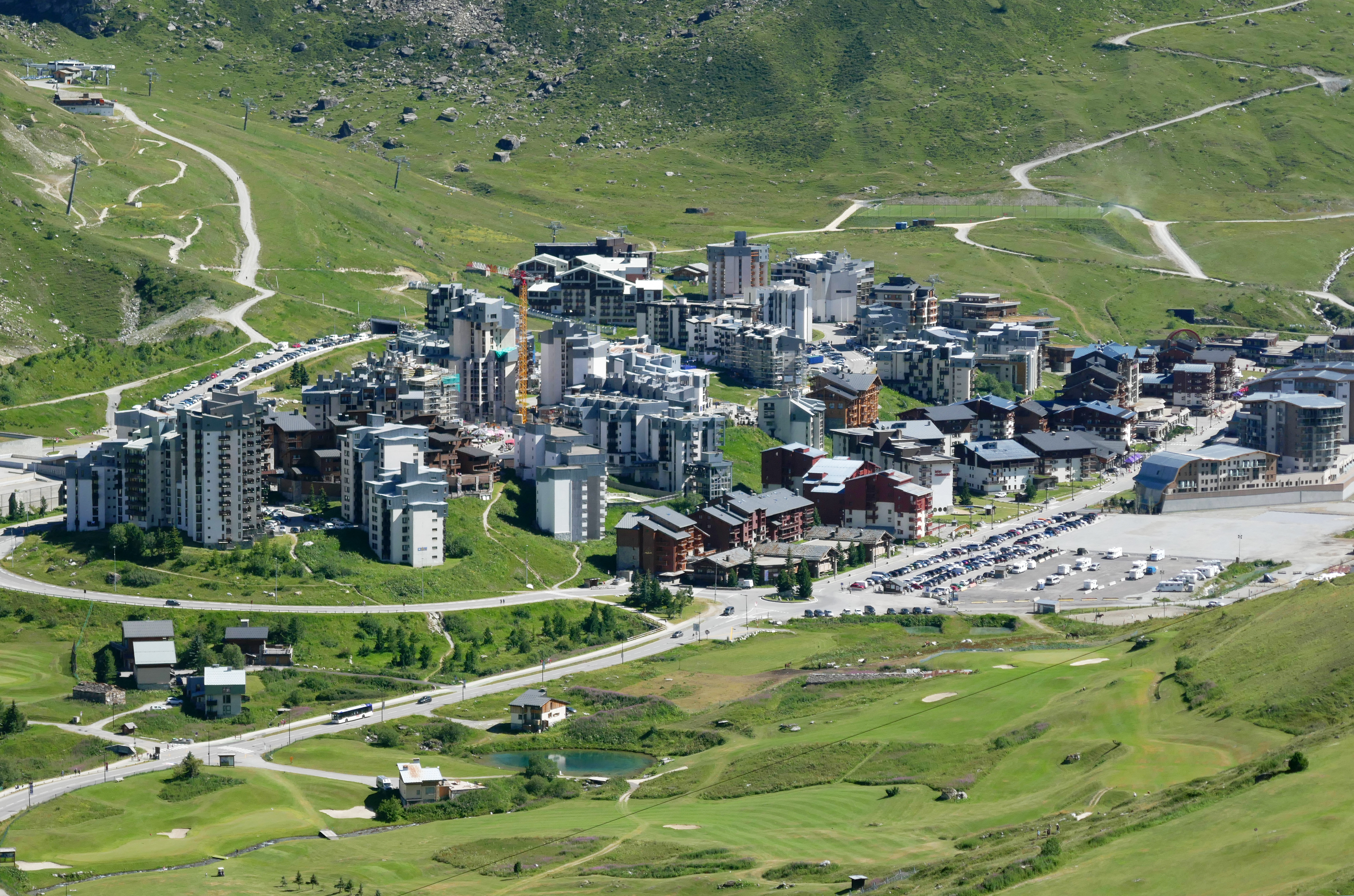
Tiia Monto’s archive photograph of Val Claret village and green summer alpine terrain, taken on 27 July 2023.068

Vanoise Alps

Tignes alpine ski area

Tignes, France

Plan Tignes’ managed alpine terrain with an independent map, village-base and return orientation, source-linked ticket and transport advice, and explicit limits on current skiing and glacier access.

The 300 km figure describes the combined linked domain. Independent mapped segments are not a Tignes-only inventory or a current opening report. Community passenger alignments distinguish village bases and upper corridors. The Perce-Neige railway funicular is not drawn; no current operation, accessible boarding or shared ticket coverage is inferred.
Full place guide
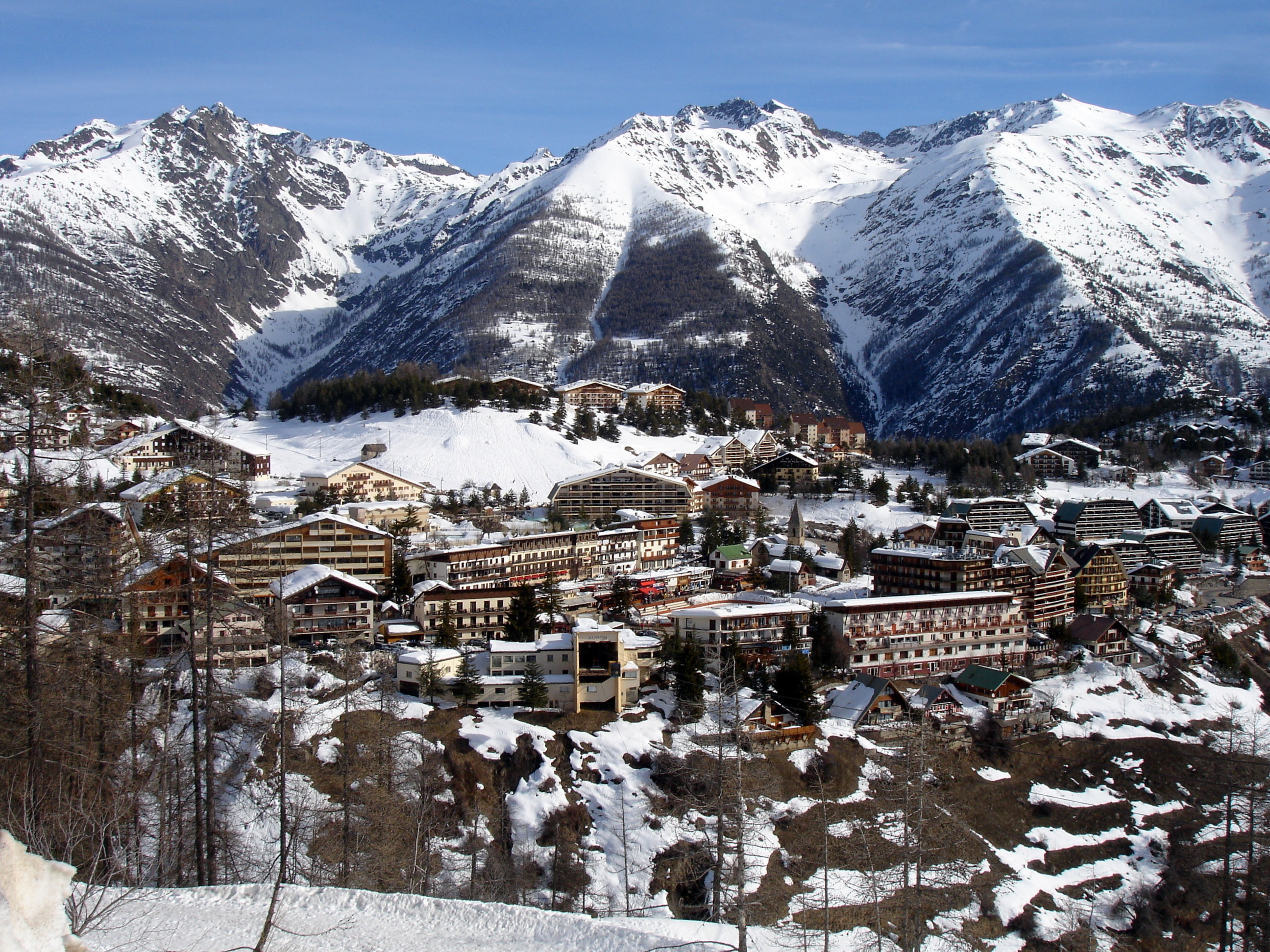
Auron village and snowy mountain backdrop on 27 February 2009, Photo: IbLeo; winter archive, not current skiing.079

Mercantour / Southern Alps

Auron

Auron / Saint-Étienne-de-Tinée, France

A managed alpine network above the Tinée valley, with Auron’s village and plateau starts distinct from Pinatelle access at Saint-Étienne-de-Tinée. Four named sectors combine open mountain terrain with forested descents, while the starting base and final connections shape the day.

Managed Auron alpine sectors; Pinatelle lower-base access distinguished; backcountry and touring excluded Village/plateau cable approaches, chairs and surface tows; current service and last connections require checking.
Full place guide
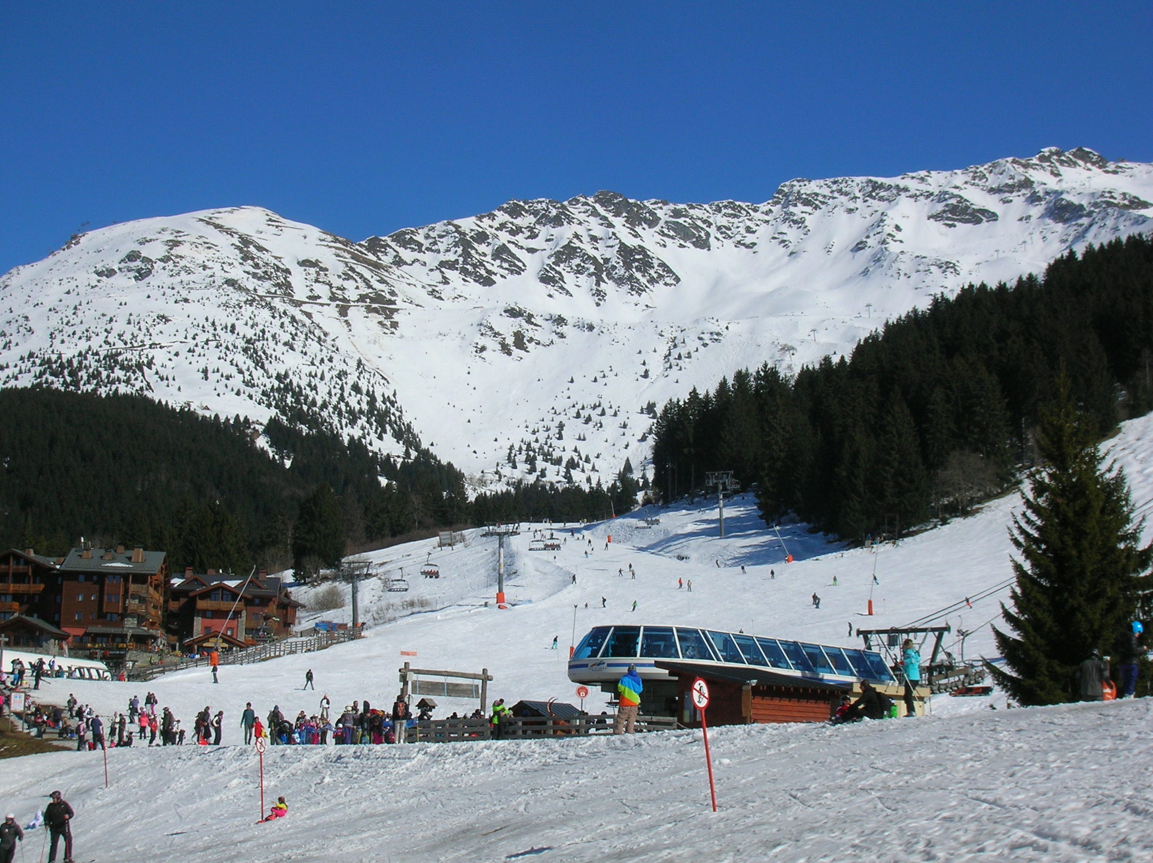
Prapoutel’s snowy base, chairlift and forested mountain slopes photographed by Patafisik on 26 March 2016; archive context.085

Belledonne

Les 7 Laux

Prapoutel / Pipay / Le Pleynet, France

Three bases, two mountain sides and a return journey to plan: Les 7 Laux links Prapoutel and Pipay above the Grésivaudan with Le Pleynet above the Haut Bréda. Use the independent alpine map and practical guide while checking the day’s open connections, tickets and final return.

Managed alpine terrain from Prapoutel, Pipay and Le Pleynet; Nordic, touring and freeride scope kept separate Chairs, surface lifts, a beginner carpet and the Grand Cerf mixed lift across two mountain sides; community alignments do not establish current service.
Full place guide
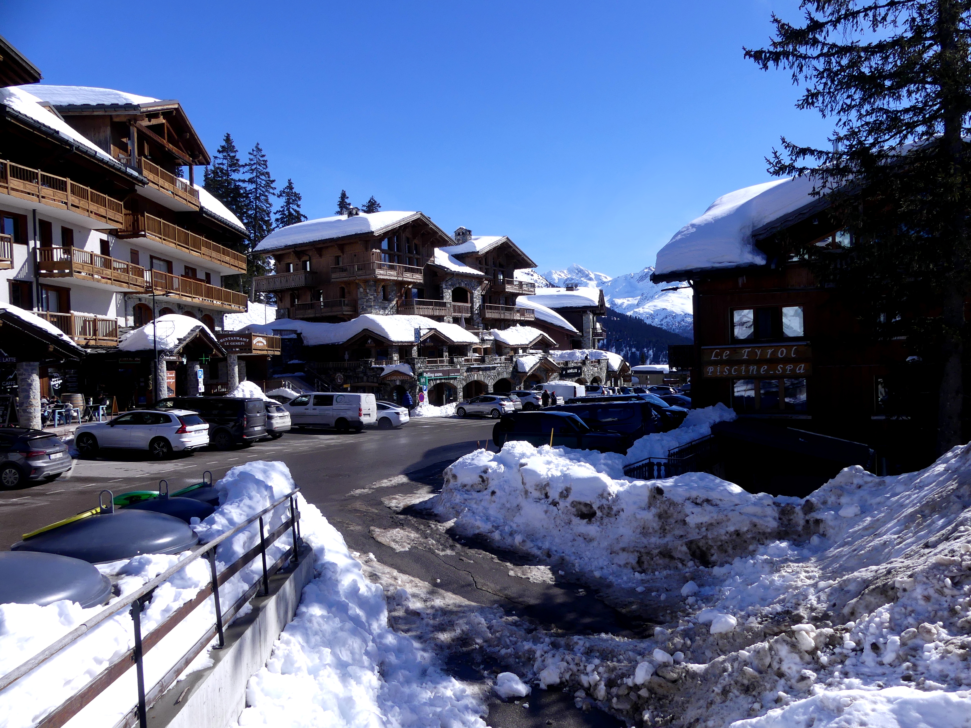
Historical February 2026 view of La Rosière centre, with snow-covered chalet roofs, a road and parked vehicles.121

Alps, Haute-Tarentaise

La Rosière

Montvalezan / La Rosière, France

La Rosière is the French alpine side of Espace San Bernardo, with separate Centre, Les Eucherts and Les Ecudets arrival bases above the Haute-Tarentaise valley.

The operator advertises 156 km for the wider Espace San Bernardo; this guide and community map cover the managed French area. Chairlifts from the Centre, Les Eucherts and Les Ecudets, with upper Fort, Bellecombe and Mont-Valaisan sectors; the international connection has separate scope and hours.
Full place guide
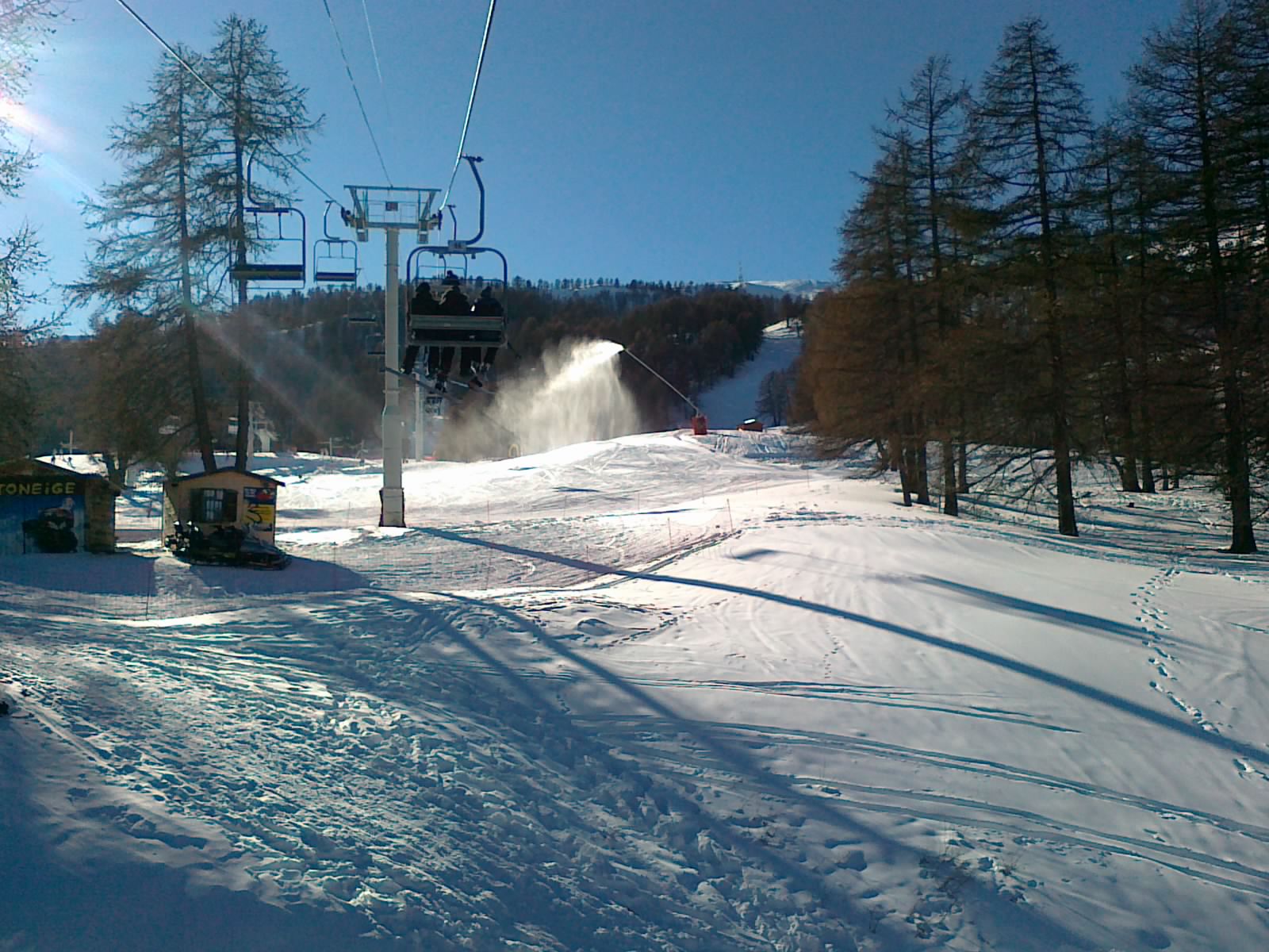
Historical January 2012 Risoul photograph of a chairlift above a snowy piste, snowmaking and larch trees.133

Southern Alps / Parpaillon

Risoul — La Forêt Blanche

Risoul 1850, France

Risoul 1850 is the Risoul-side base of La Forêt Blanche in the southern French Alps, linked on snow to the separate Vars area when the connection operates.

Managed Risoul alpine terrain; the advertised 185 km refers to the shared Risoul–Vars area. Chairlifts, surface lifts and the Télépulsé serve distinct Risoul sectors; the Vars link needs its own daily check.
Full place guide

POPULAR FACETS IN THIS INDEX

Browse by the day you want.

All discovery layers

GEOGRAPHY / CURRENT COVERAGE

Continue with a region.

Administrative region and mountain massif remain separate fields, so every regional page can stay focused without forcing cross-border skiing areas into one political hierarchy.