COUNTRY INDEX / ANDORRA

Andorra

Exact skier bases, route-level descriptions, dated event editions and transparent source checks for every Index.ski record currently published in Andorra.

Verified places: 03Places with piste maps: 03Verified events: 00

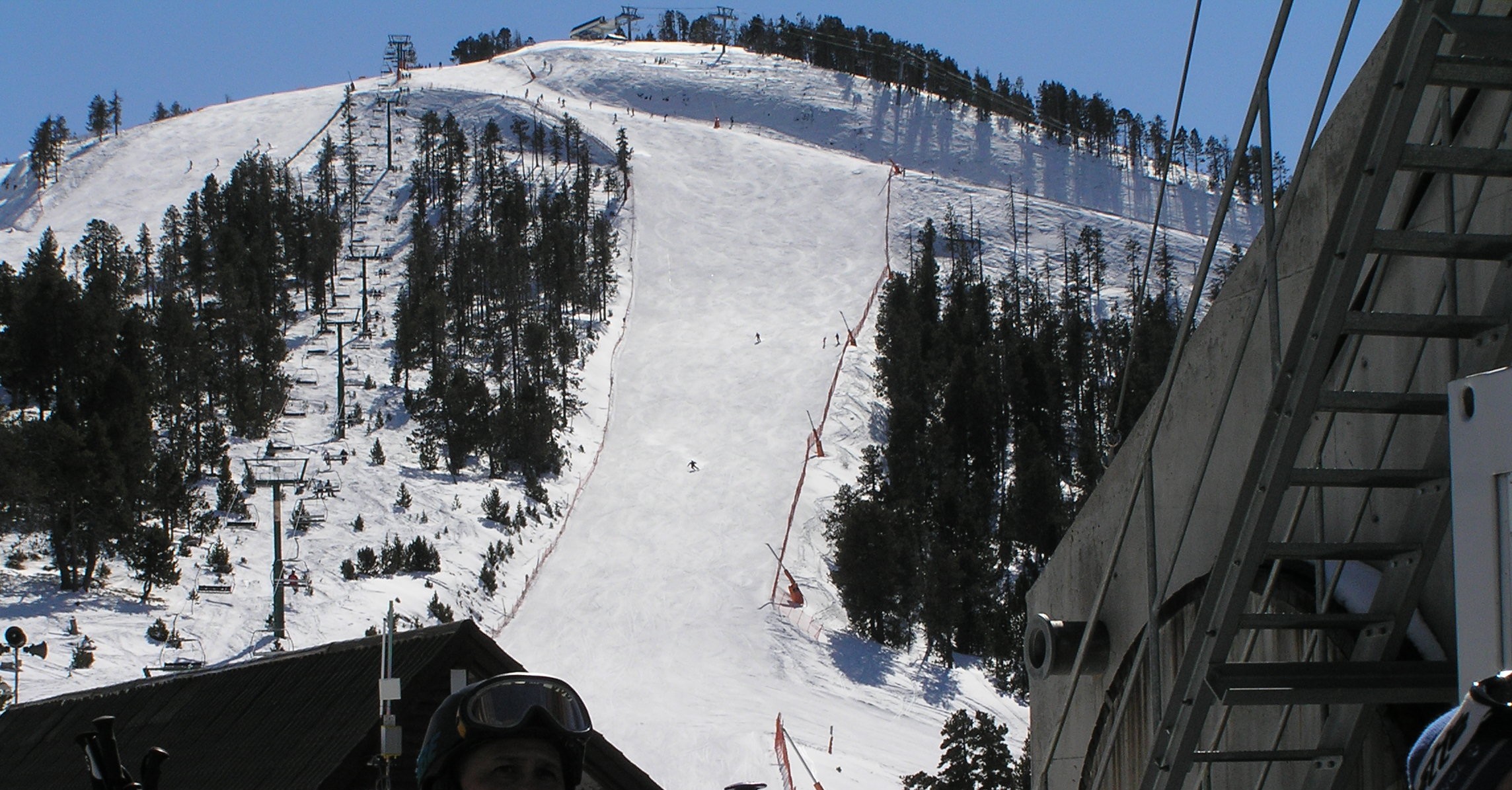
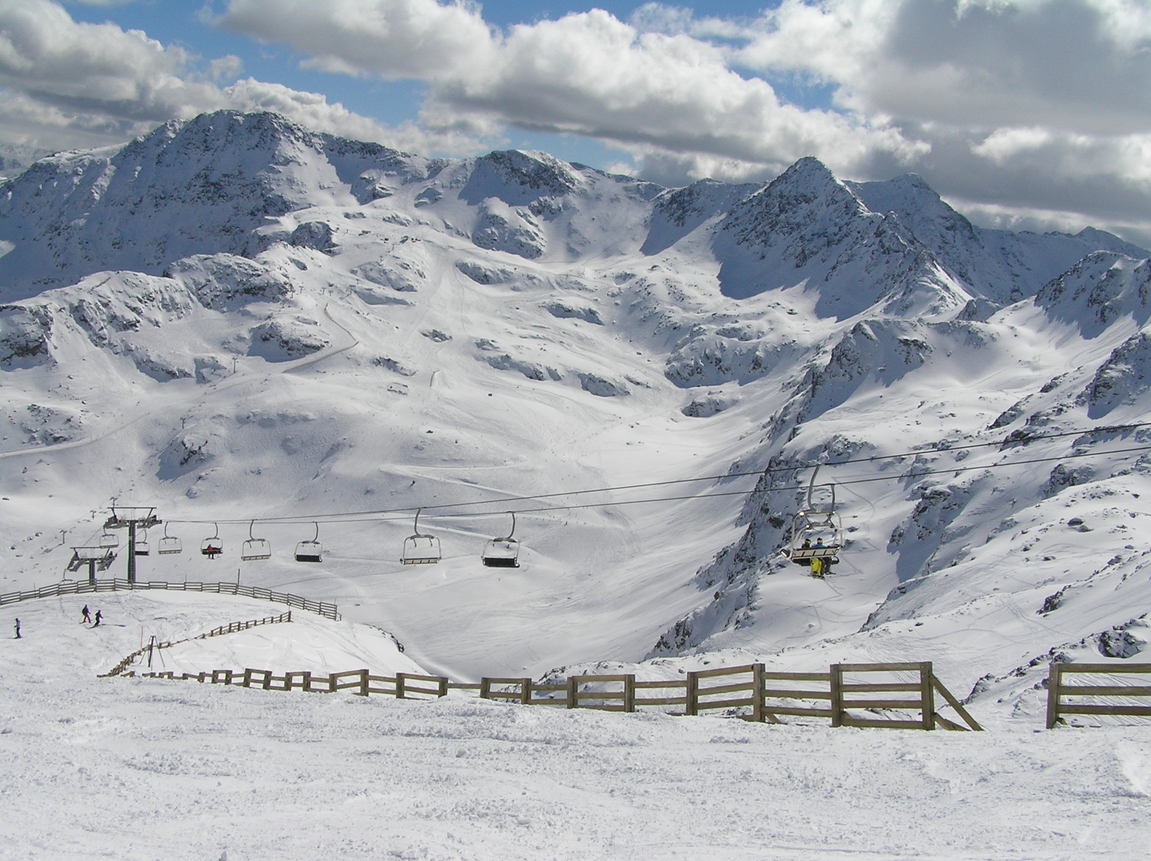
Photo: Terence wiki / Wikimedia Commons · CC BY-SA 3.0
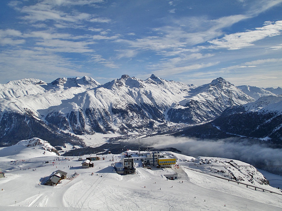
La Coma at Ordino Arcalís on 5 March 2011, photographed by Terence wiki; archive winter view, not present conditions.

PUBLISHED LOCATIONS

Published places and events — Andorra

This country-only map contains every Index.ski destination and event venue currently published here. Select a marker to open its complete profile.

Andorra3 mapped locations
  • Open for skiing
  • Closed today · opening within 14 days
  • Closed for skiing
  • Unknown / uncertain

Colours show the published skiing status or confirmed operating calendar, not whether every lift is running. Check the operator before travel.

Confirmed dates change colours automatically in the place’s local time. Tentative dates, conflicting reports and expired checks remain black.

FULL PLACE GUIDES

Every published destination — Andorra.

OPERATOR SOURCES CHECKED
La Coma at Ordino Arcalís on 5 March 2011, photographed by Terence wiki; archive winter view, not present conditions.019

Pyrenees

Ordino Arcalís

Ordino, Andorra

A compact alpine area at the head of the Ordino valley, with lower learning areas and higher terrain around Les Portelles, La Coma and Creussans. It is separate from Pal Arinsal and Grandvalira, even where a pass covers several resorts.

L’Hortell and Planells, Les Portelles and La Coma alpine pistes Tristaina gondola, mountain chairlifts and beginner surface lifts; actual service varies by date and installation.
Full place guide
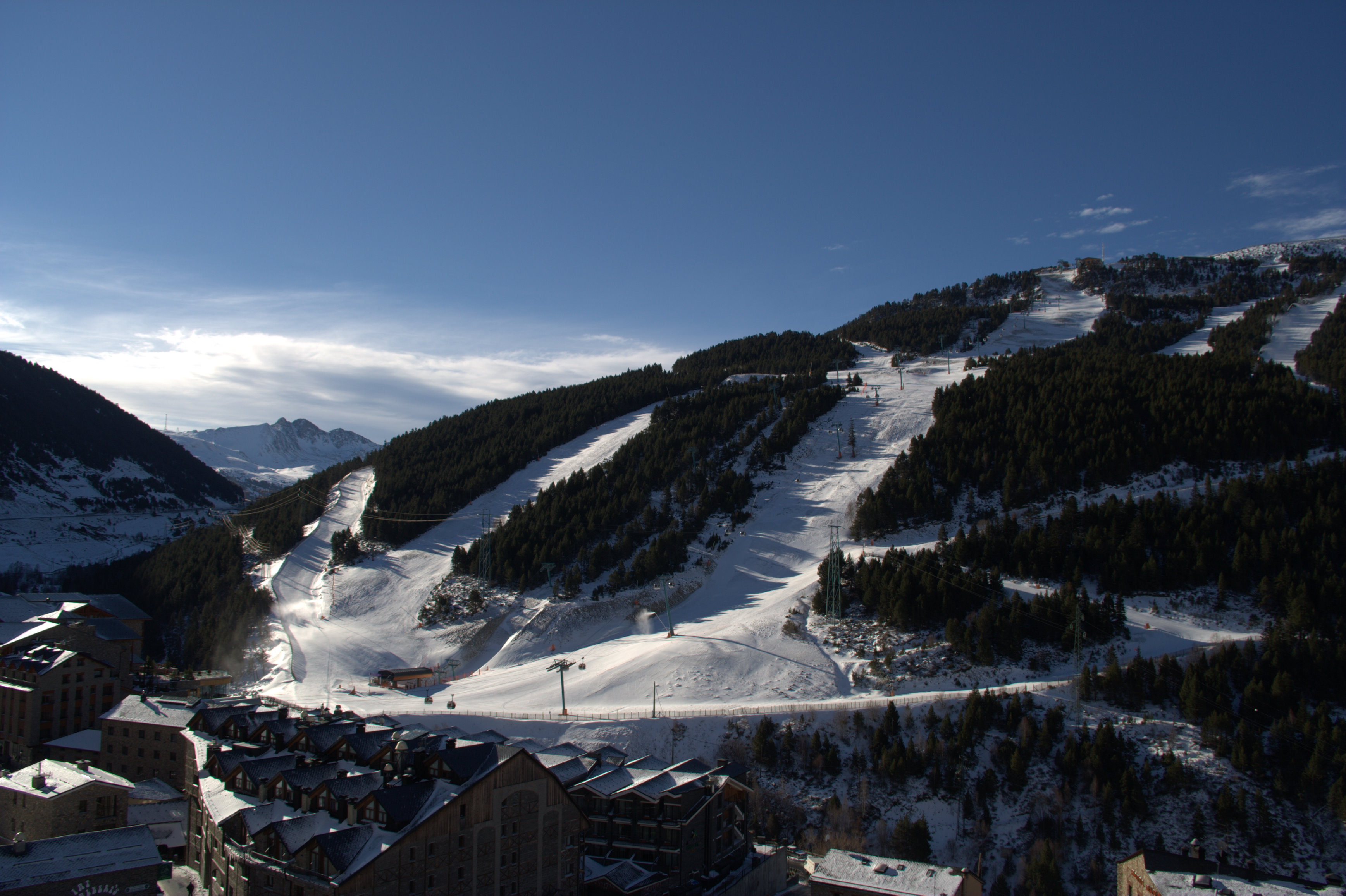
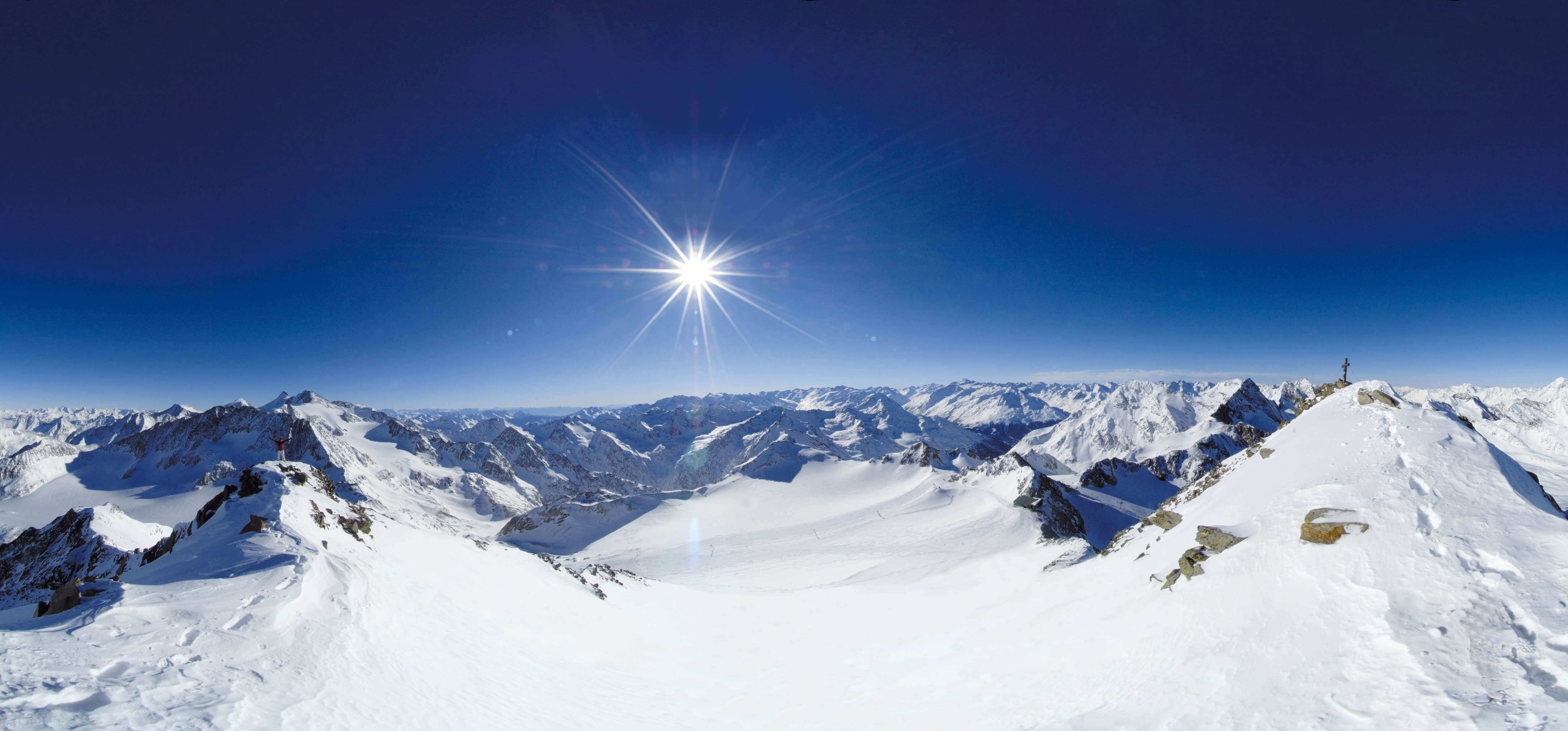
Historical March 2007 winter view of Soldeu village, forested slopes and lift equipment photographed by Albert White.054

Eastern Pyrenees

Grandvalira

Encamp and Canillo, Andorra

Plan Grandvalira’s seven-sector alpine area with an independent map, Funicamp and valley-base orientation, sector returns, dynamic passes and explicit seasonal and safety limits.

The operator advertises 215 km, with differing 140/142 piste totals. The independent map is a conservative community representation, not the operating inventory. Gondolas, chairlifts, surface lifts and learning conveyors provide sector-specific access; exact current operation and final returns require staff confirmation.
Full place guide
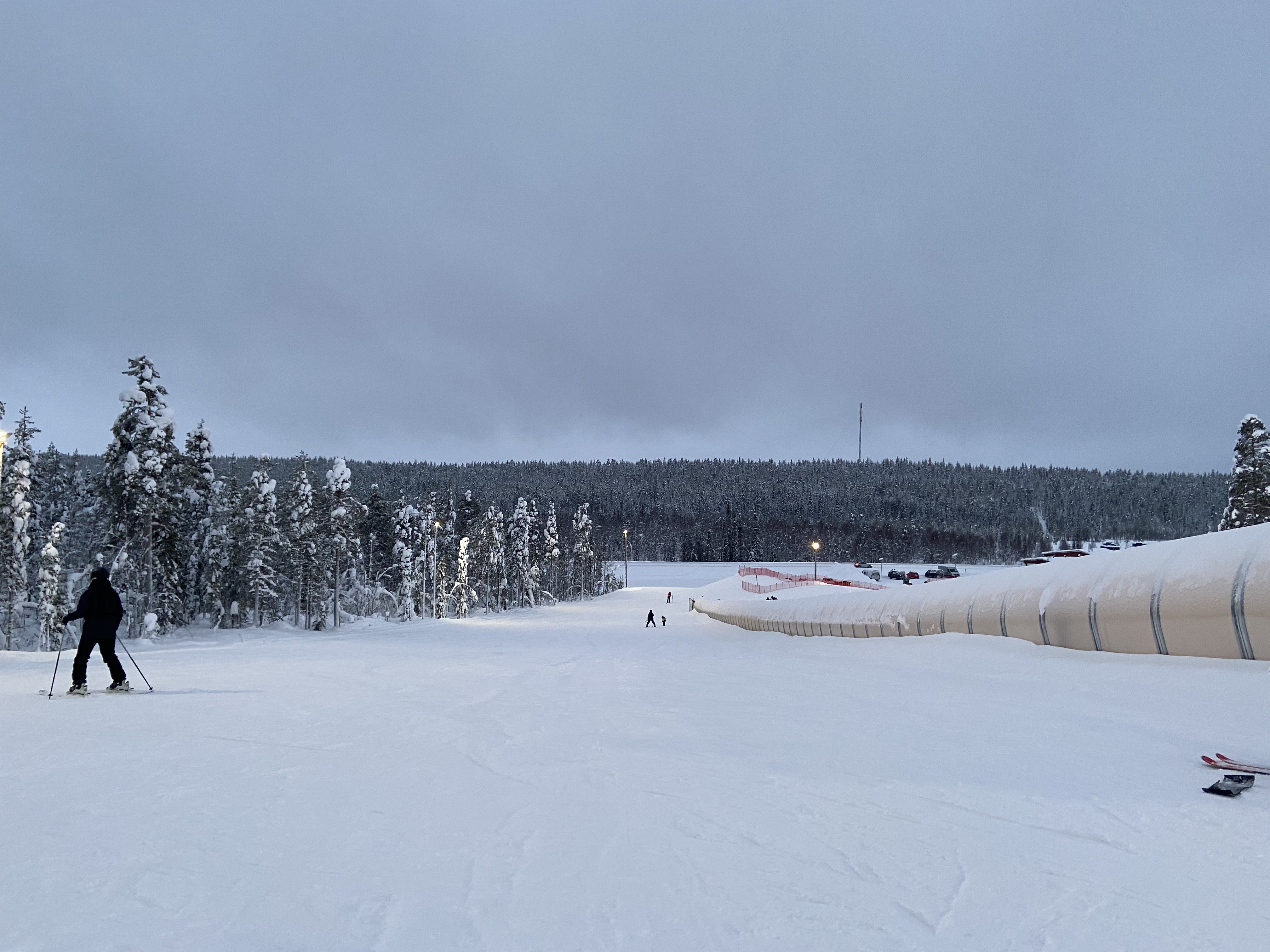
Historical 6 March 2011 photograph of snowy Pal slopes from the cable-car station by Terence wiki; archive winter setting.103

Pyrenees

Pal Arinsal

La Massana and Arinsal, Andorra

Plan the separate Pal and Arinsal bases with a licensed community map, sourced mountain-connection, arrival, ticket and safety guidance, and clear limits on the proposed season and final return.

Scoped community map of two managed sectors; touring, freeride and parks omitted La Massana and Els Orriols village gondolas; Coll de la Botella–Port Negre inter-sector cable car.
Full place guide

POPULAR FACETS IN THIS INDEX

Browse by the day you want.

All discovery layers

GEOGRAPHY / CURRENT COVERAGE

Continue with a region.

Administrative region and mountain massif remain separate fields, so every regional page can stay focused without forcing cross-border skiing areas into one political hierarchy.