 030
Postăvarul
Poiana Brașov
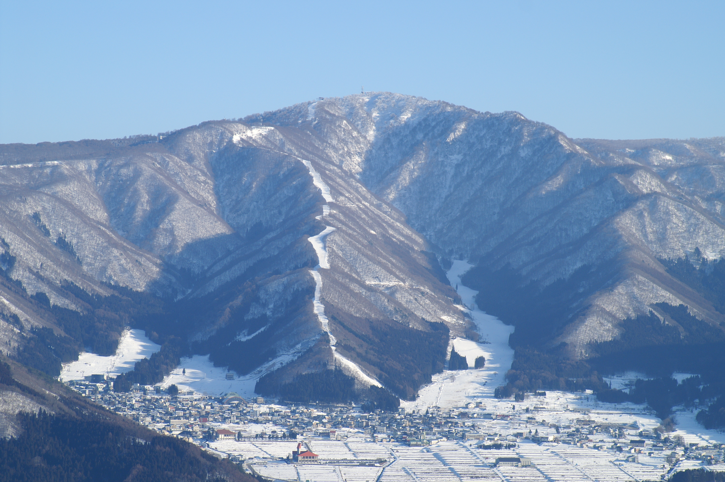
Poiana Brașov, RomaniaMarked Postăvarul pistes above Poiana Brașov, with separate village learning areas and upper-mountain uplift.
Full place guide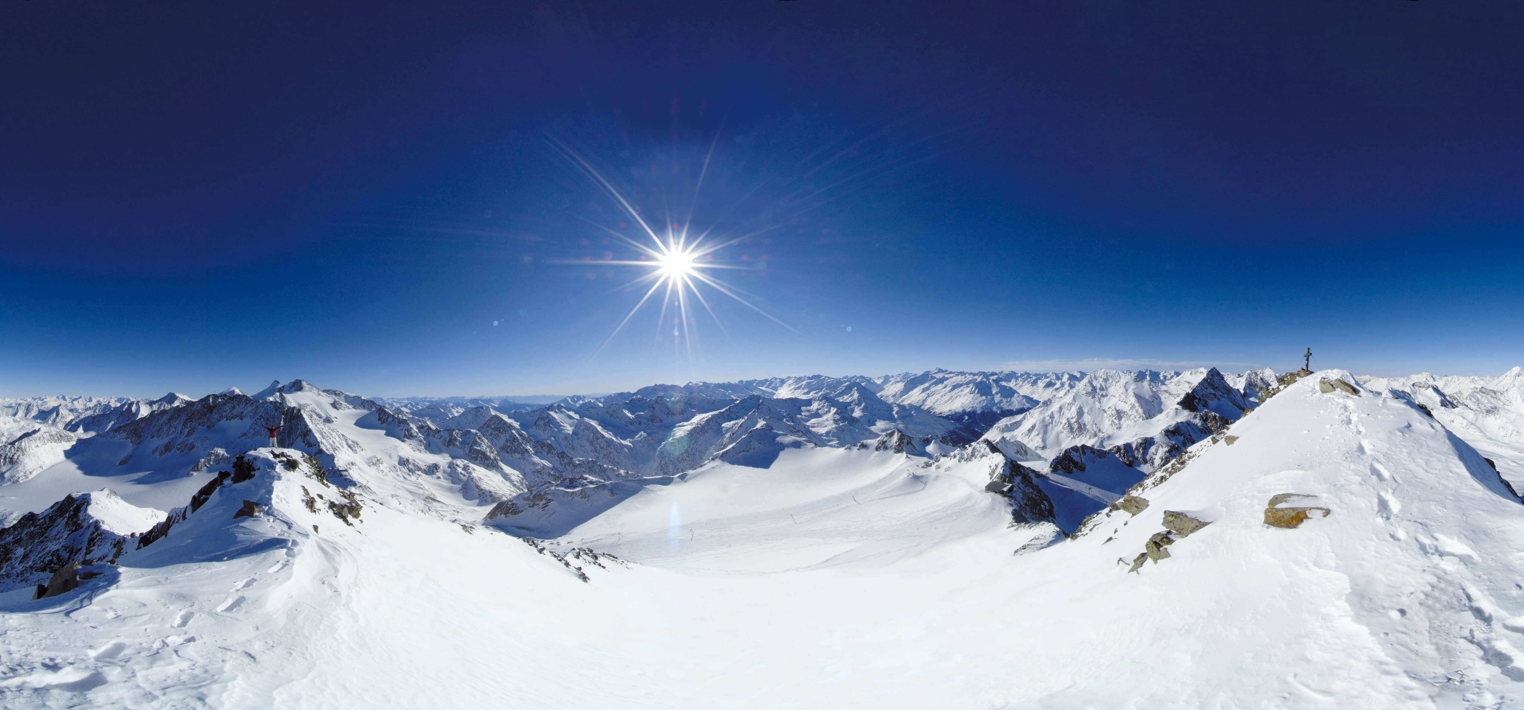 Live nowStubai Zoo Park & Test DaysThe organiser lists Stubai Zoo Park & Test Days for 6–8 November 2026 at Stubai Glacier and in Neustift, Austria. Equipment testing at Eisgrat is scheduled only for Saturday 7 and Sunday 8 November.
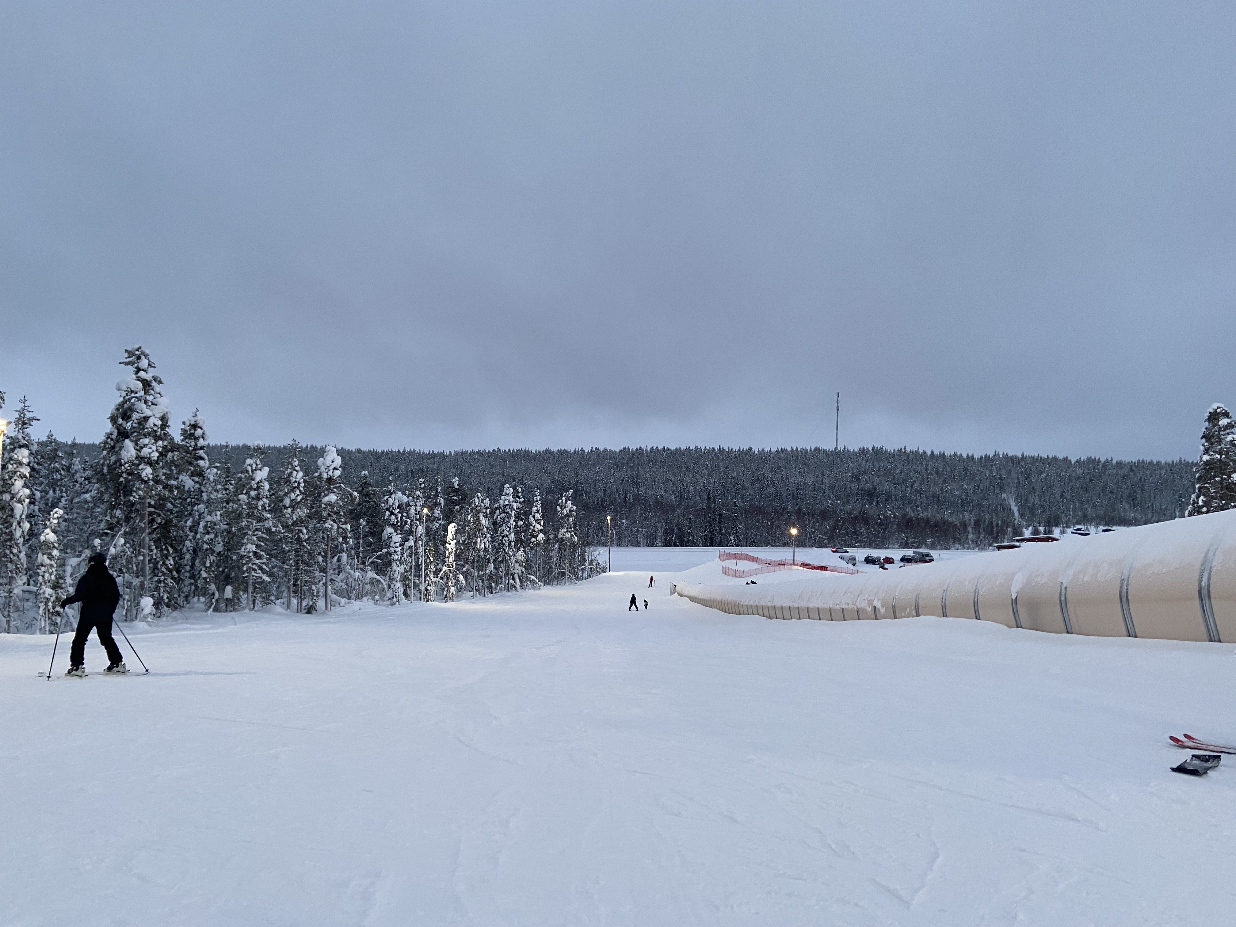 UpcomingLevi World CupThe FIS calendar schedules the women’s and men’s slalom races for 14–15 November in Lapland.
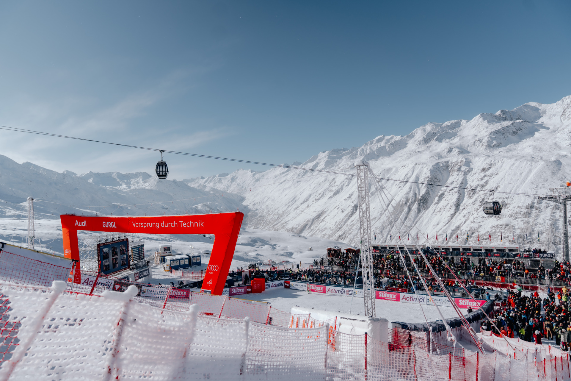 UpcomingGurgl World CupWomen’s and men’s slalom races are scheduled on the Kirchenkar World Cup piste on 21–22 November.
COUNTRY INDEX / ROMANIA
Exact skier bases, route-level descriptions, dated event editions and transparent source checks for every Index.ski record currently published in Romania.
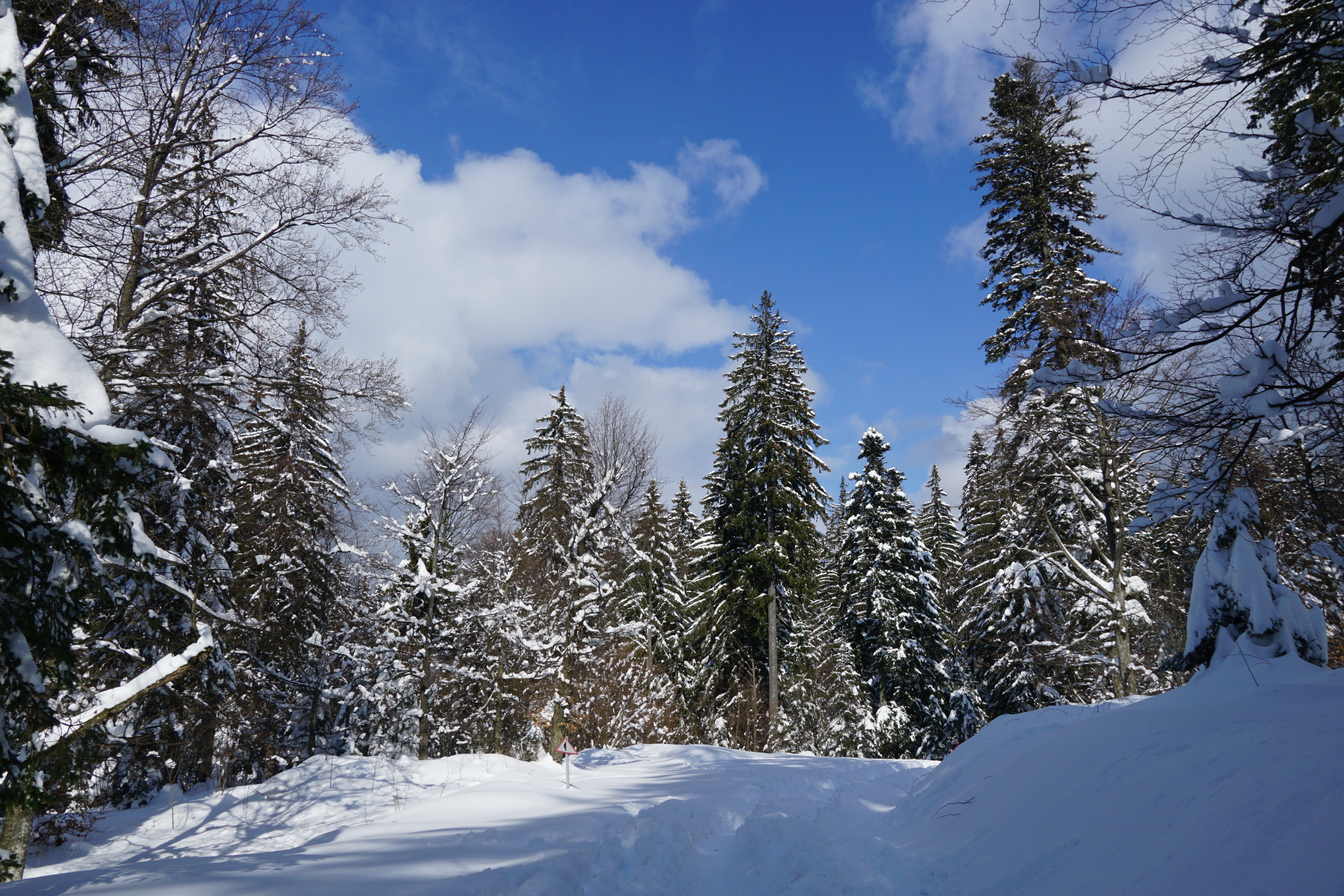
Photo: xulescu_g / Wikimedia Commons · CC BY-SA 2.0
Snow-covered forest and road near Poiana Brașov, photographed by xulescu_g on 21 March 2021; archive surroundings context, not a named piste, lift base or current conditions.
PUBLISHED LOCATIONS
This country-only map contains every Index.ski destination and event venue currently published here. Select a marker to open its complete profile.
Colours show the published skiing status or confirmed operating calendar, not whether every lift is running. Check the operator before travel.
Confirmed dates change colours automatically in the place’s local time. Tentative dates, conflicting reports and expired checks remain black.
FULL PLACE GUIDES
030Postăvarul
Marked Postăvarul pistes above Poiana Brașov, with separate village learning areas and upper-mountain uplift.
Full place guide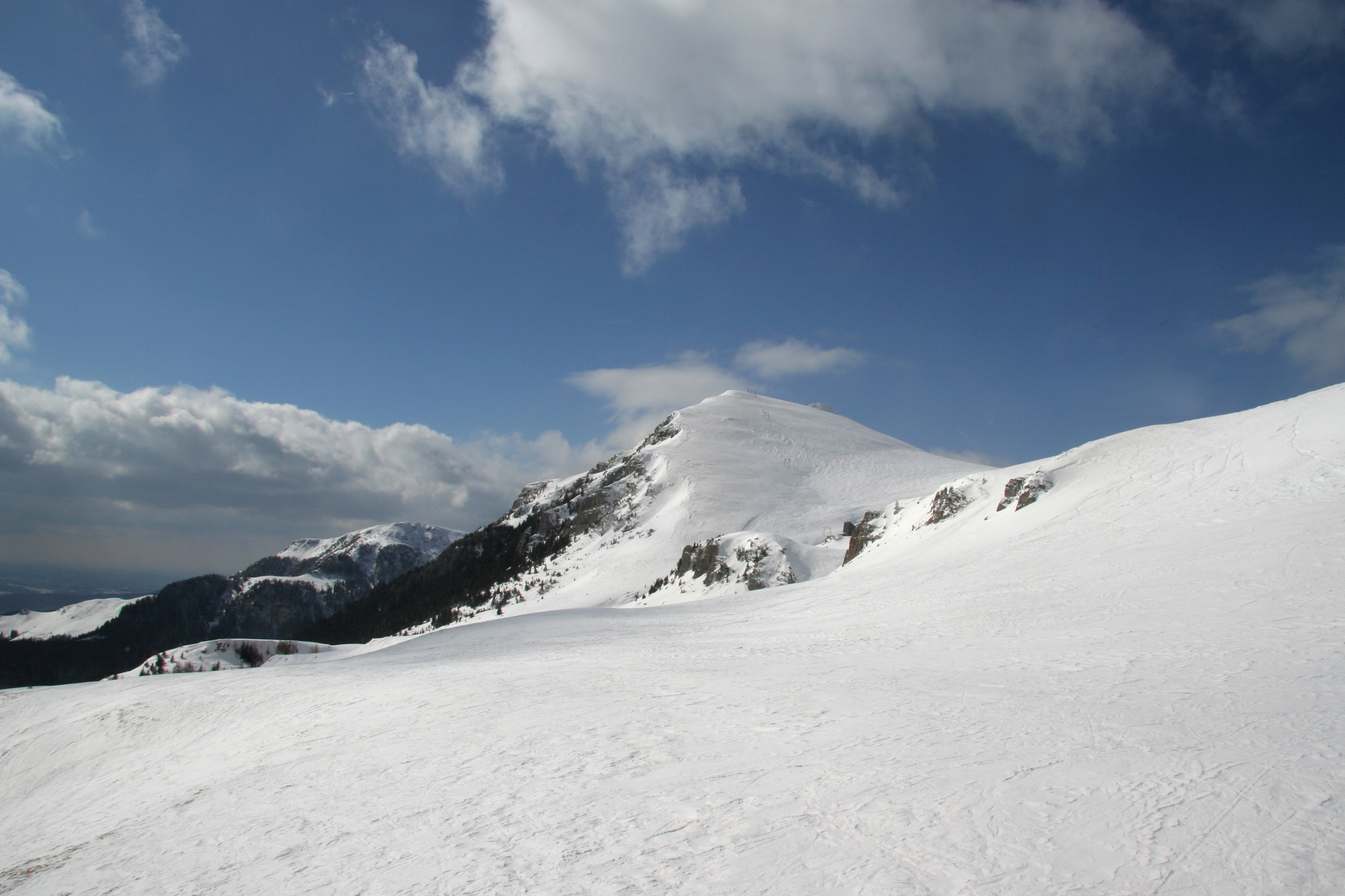 064
Bucegi Mountains
Plan Sinaia’s managed alpine terrain with an independent map, distinct lower bases, plateau and return orientation, exposed-mountain safety advice and clearly dated source limitations.
Full place guidePOPULAR FACETS IN THIS INDEX
GEOGRAPHY / CURRENT COVERAGE
Administrative region and mountain massif remain separate fields, so every regional page can stay focused without forcing cross-border skiing areas into one political hierarchy.