
 113
Hohe Tauern
Kitzsteinhorn
Kaprun, AustriaGlacier alpine skiing above Kaprun, reached from the Kesselfall valley base through Langwied and Alpincenter.
Full place guide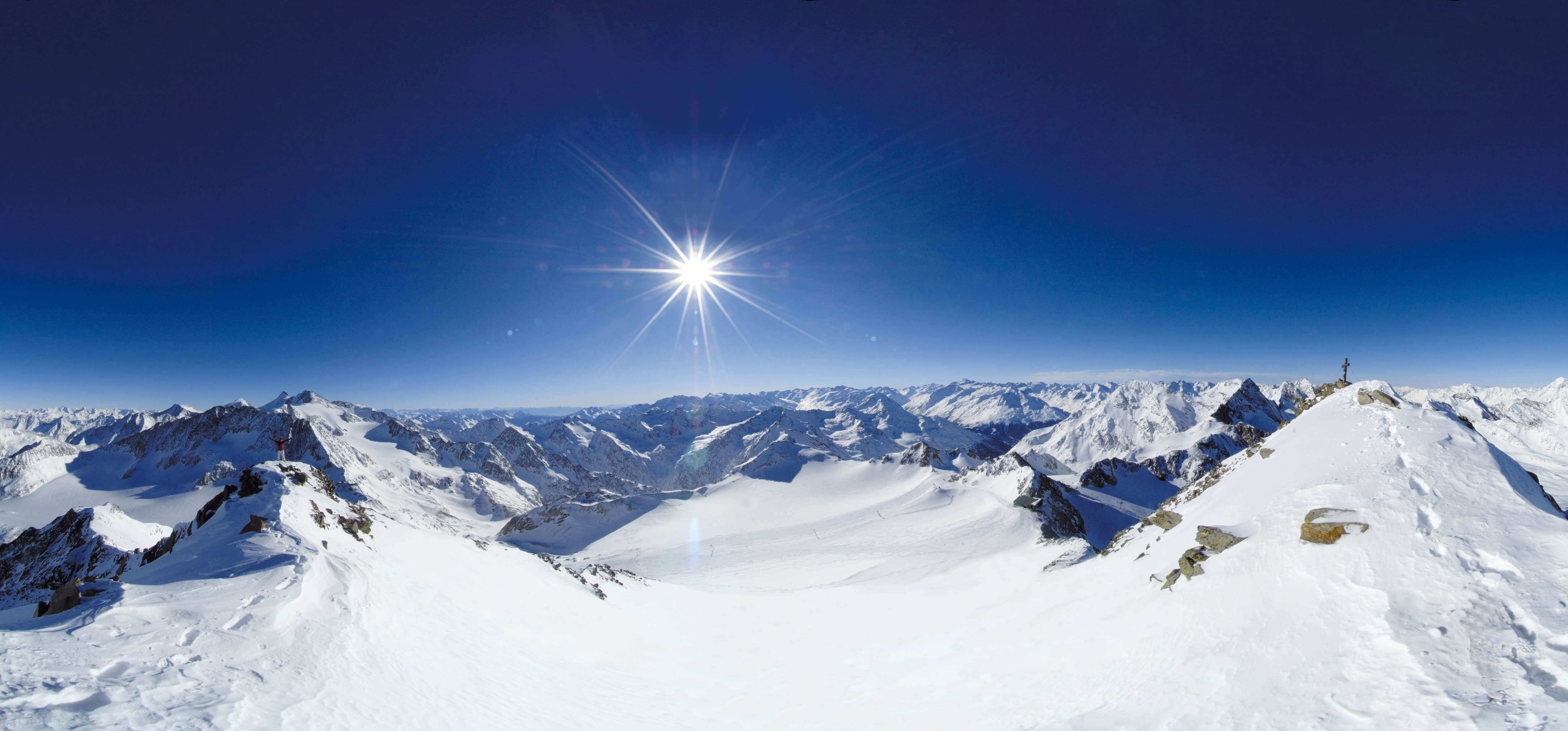 Live nowStubai Zoo Park & Test DaysThe organiser lists Stubai Zoo Park & Test Days for 6–8 November 2026 at Stubai Glacier and in Neustift, Austria. Equipment testing at Eisgrat is scheduled only for Saturday 7 and Sunday 8 November.
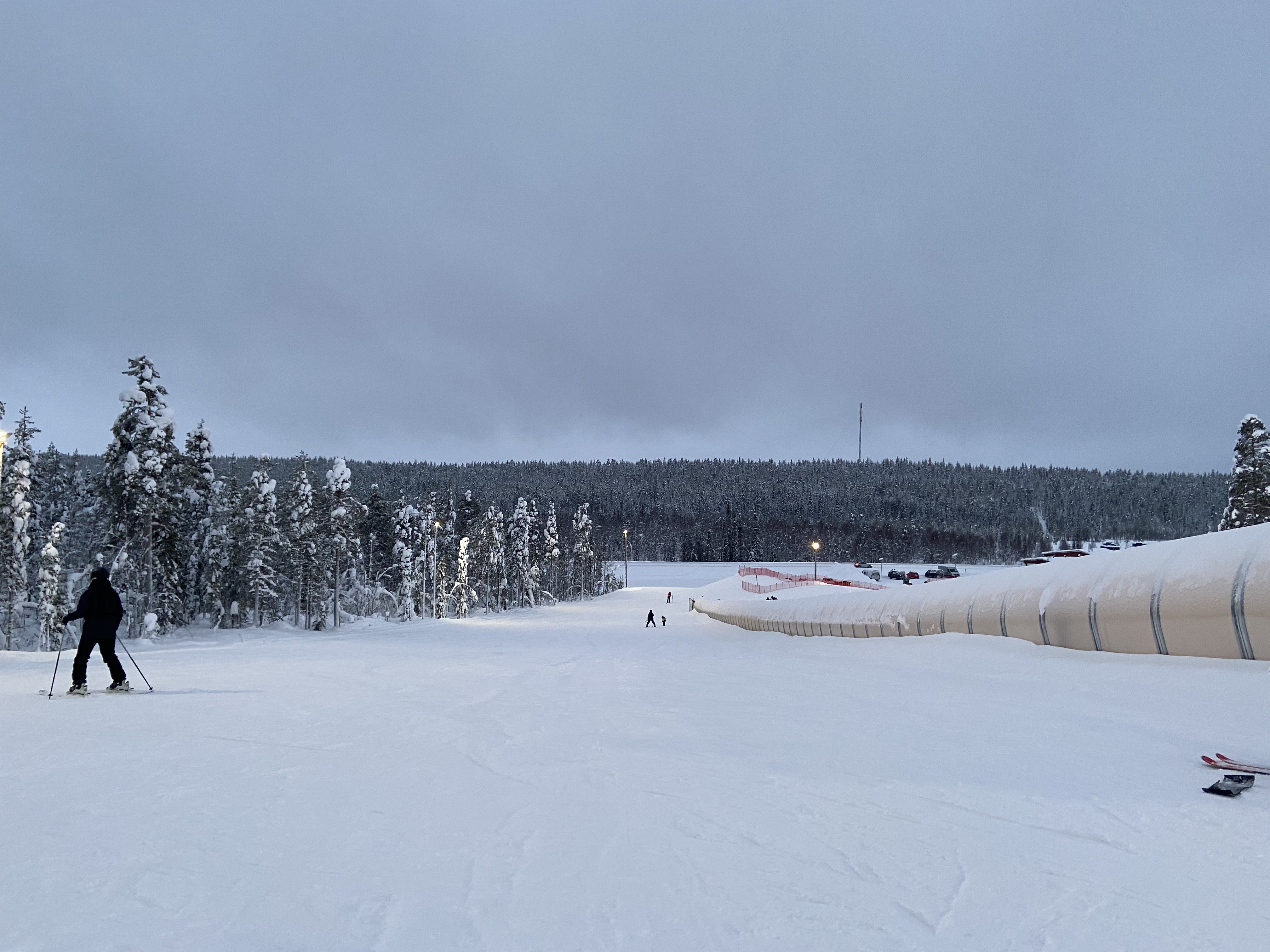 UpcomingLevi World CupThe FIS calendar schedules the women’s and men’s slalom races for 14–15 November in Lapland.
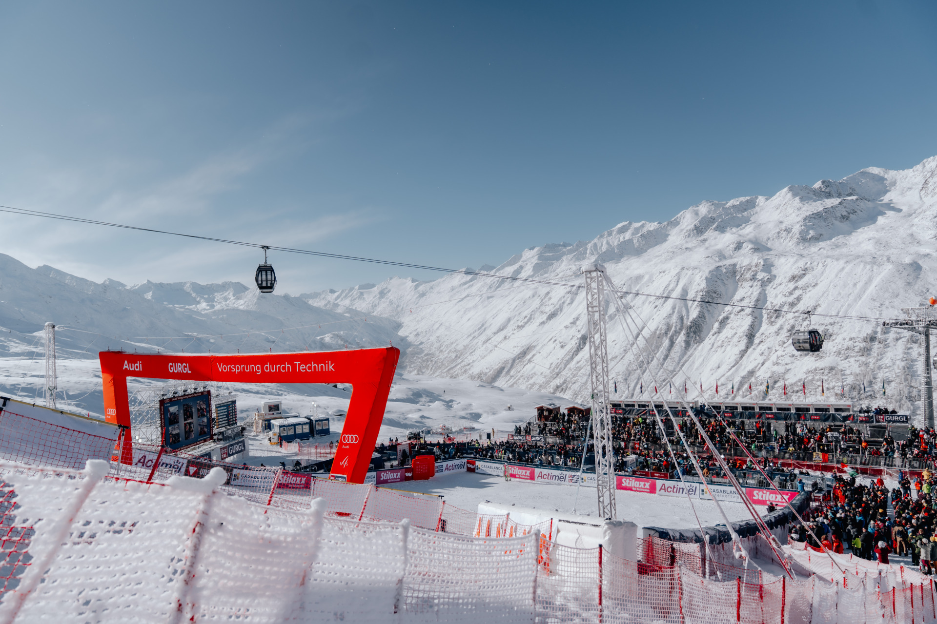 UpcomingGurgl World CupWomen’s and men’s slalom races are scheduled on the Kirchenkar World Cup piste on 21–22 November.
REGIONAL INDEX / AUSTRIA
Every source-checked Index.ski skier base currently published in this region, with piste maps, sector connections and practical arrival information.
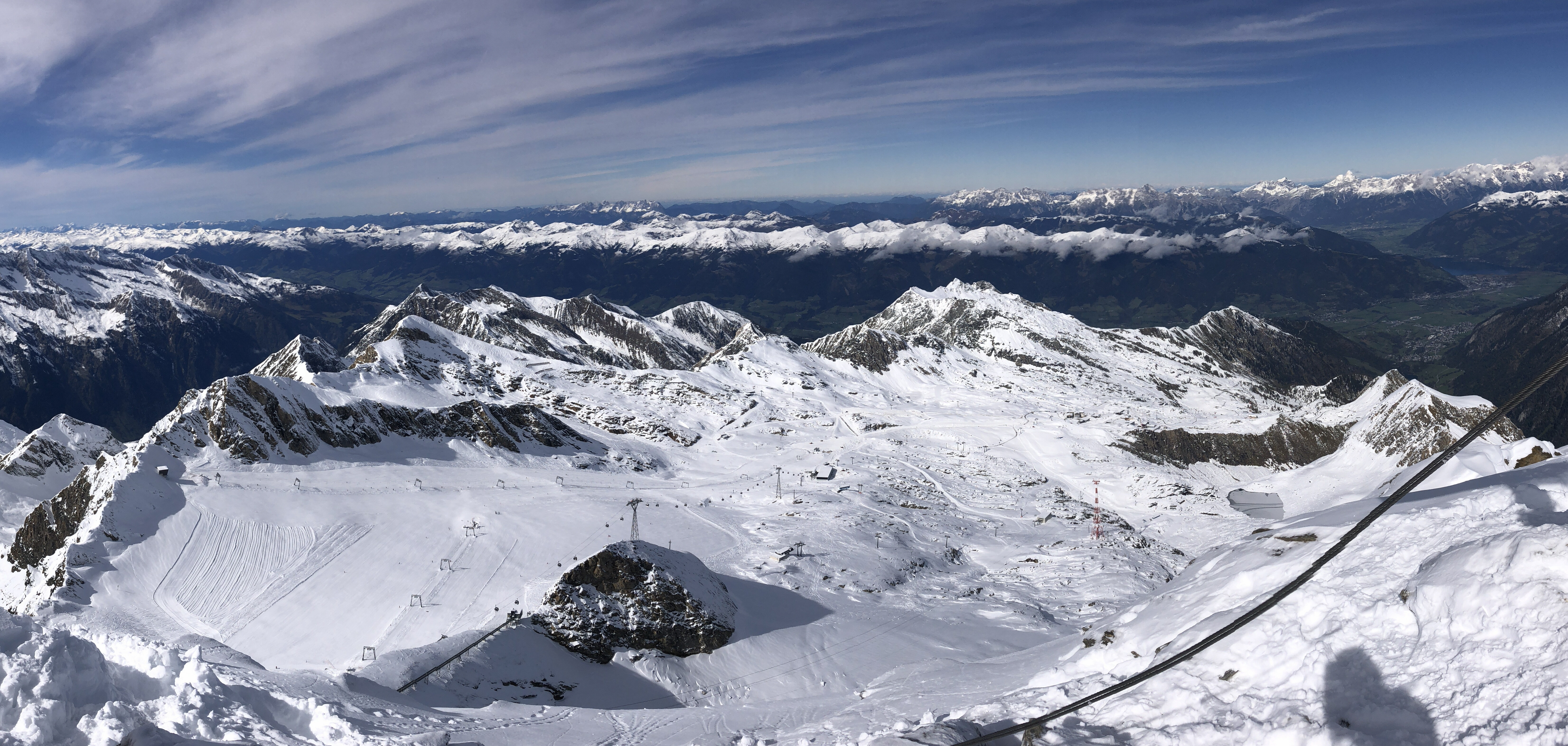
Photo: Stefan.straub / Wikimedia Commons · CC BY 4.0
Historical October 2024 view from Kitzsteinhorn across the snowy glacier ski area, lifts and surrounding mountains.
PRACTICAL SKIER BASES
Markers show practical skier-base coordinates, not a town-centre approximation. Select a marker to open the full place profile.
Colours show the published skiing status or confirmed operating calendar, not whether every lift is running. Check the operator before travel.
Confirmed dates change colours automatically in the place’s local time. Tentative dates, conflicting reports and expired checks remain black.
REGIONAL PLACE GUIDES
113Hohe Tauern
Glacier alpine skiing above Kaprun, reached from the Kesselfall valley base through Langwied and Alpincenter.
Full place guide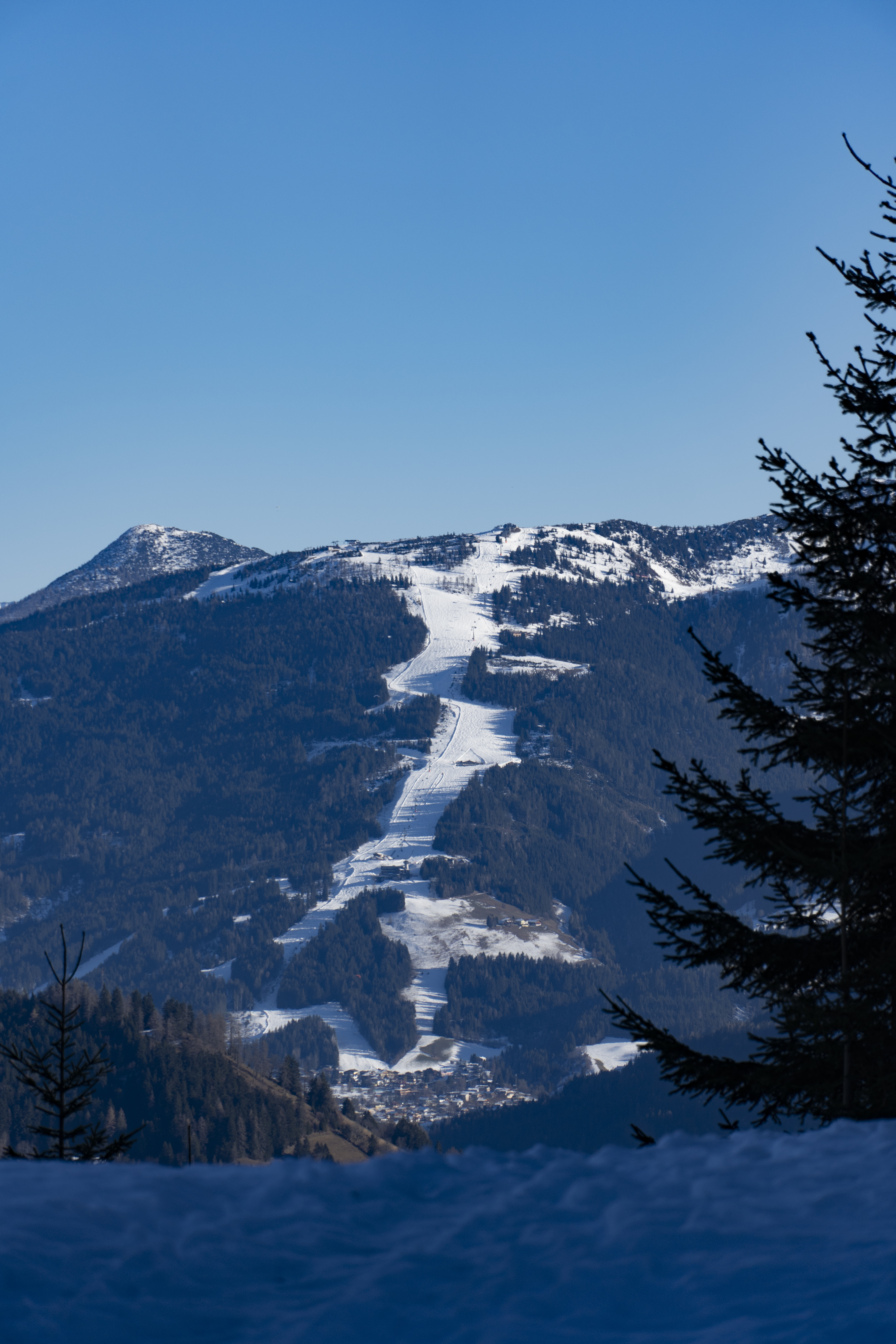 125
Salzburg Slate Alps / Radstädter Tauern
Snow Space Salzburg links the managed alpine ski mountains of Flachau, Wagrain and St. Johann-Alpendorf, with several valley bases and a cross-valley connection at Wagrain.
Full place guide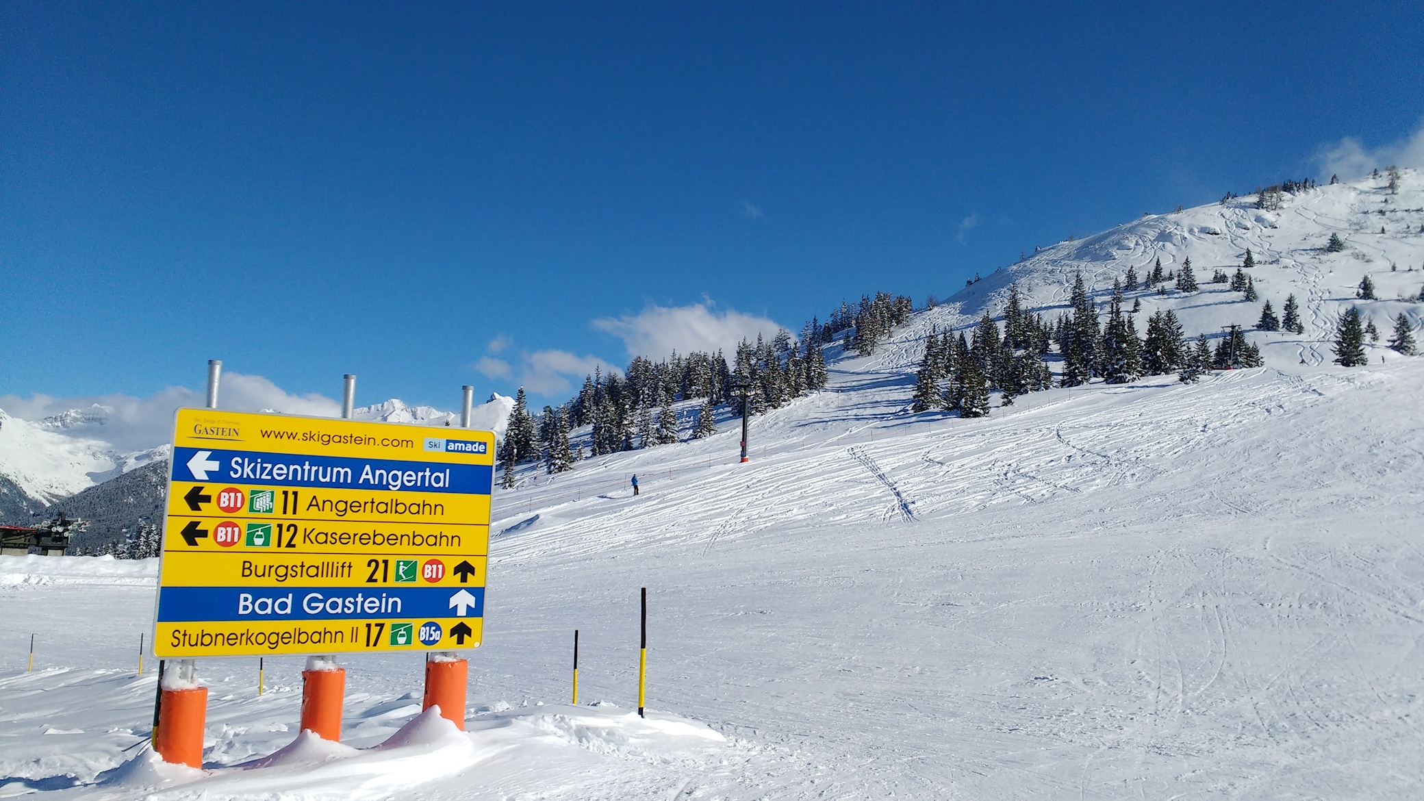 126
Goldberg Group / Hohe Tauern
Schlossalm–Angertal–Stubnerkogel is the connected managed alpine area between Bad Hofgastein and Bad Gastein, with Angertal as the junction between its two mountain sides.
Full place guide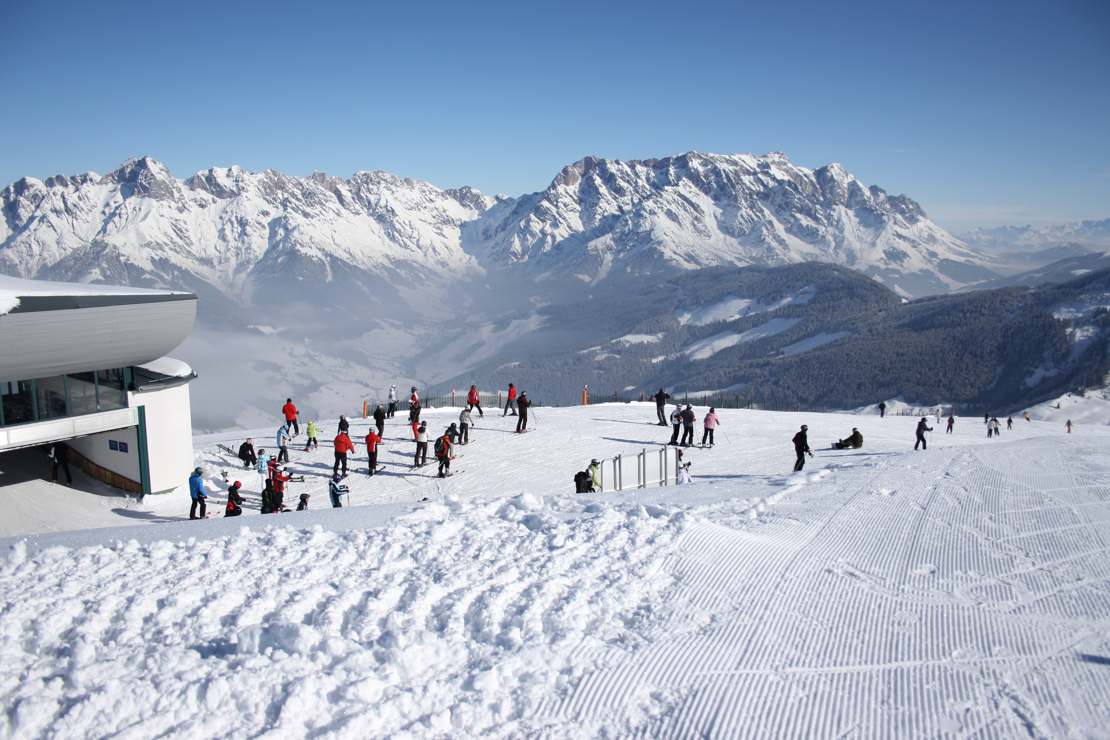 132
Hochkönig region
Hochkönig links the alpine sectors of Maria Alm, Dienten and Mühlbach below the Hochkönig massif in Salzburg.
Full place guide