Versant Sud / South Side
Access: Pedestrian village and community gondola / Flying Mile references
Choose the correct meeting point and parking transfer; a village or lift reference does not establish current skiing.
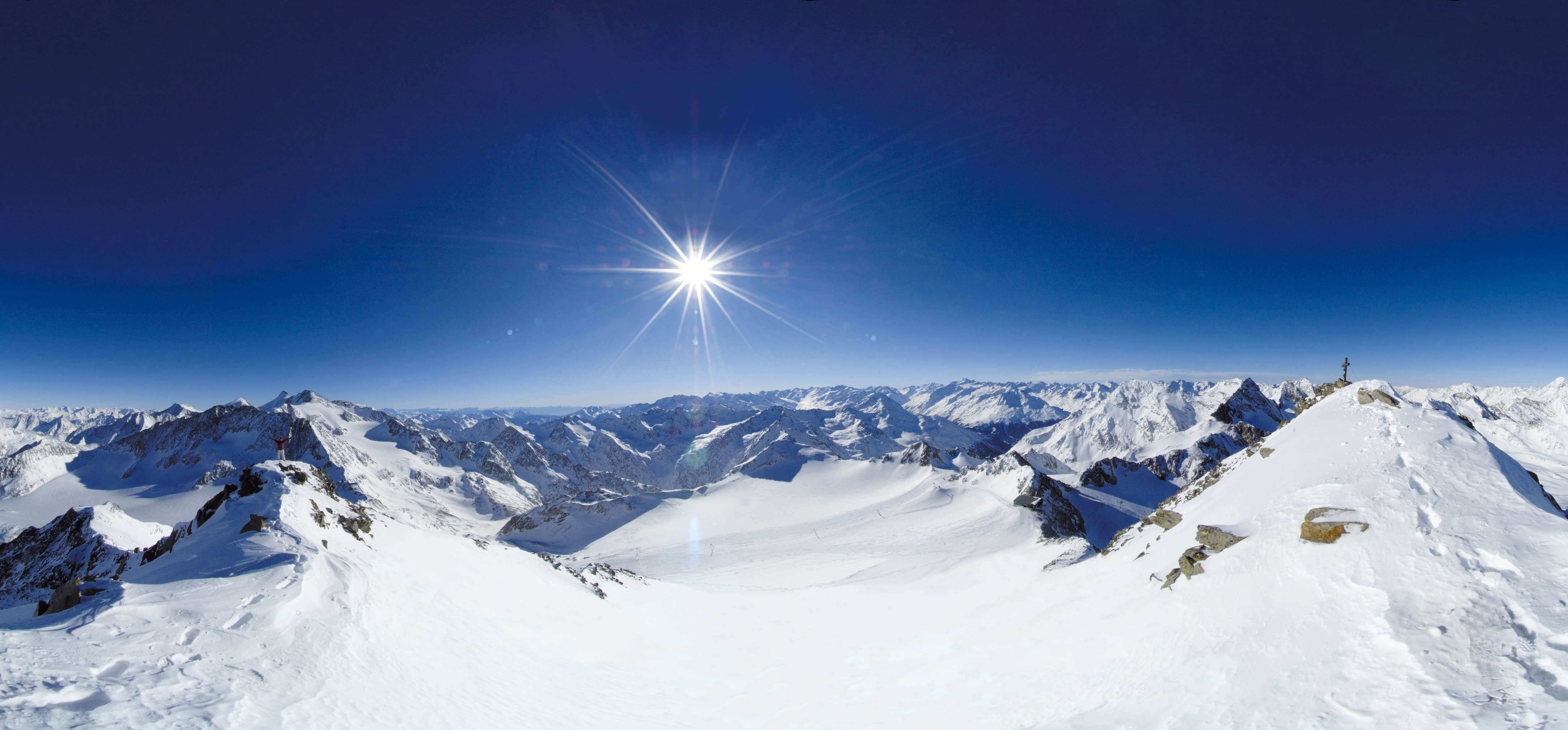 Live nowStubai Zoo Park & Test DaysThe organiser lists Stubai Zoo Park & Test Days for 6–8 November 2026 at Stubai Glacier and in Neustift, Austria. Equipment testing at Eisgrat is scheduled only for Saturday 7 and Sunday 8 November.
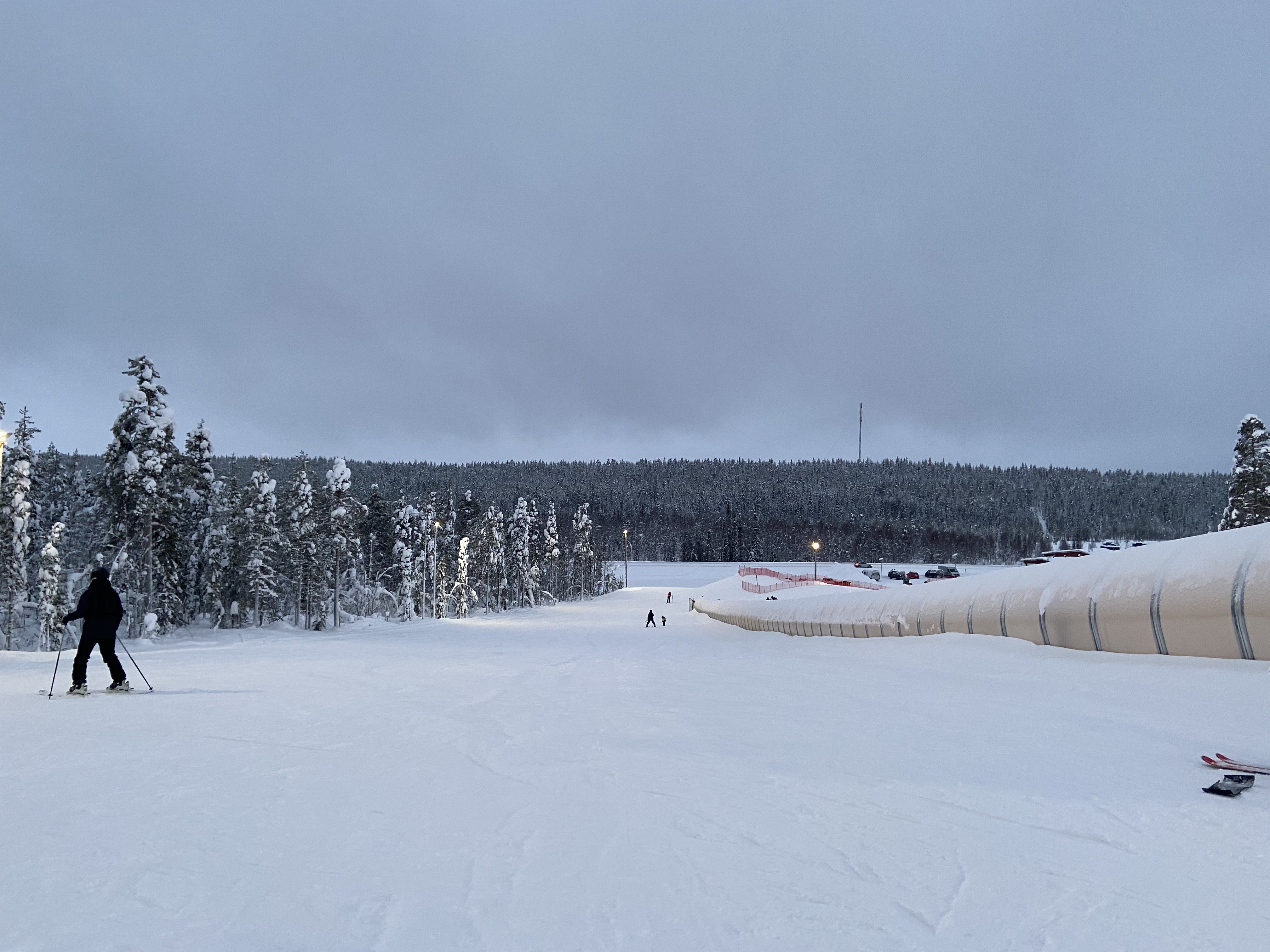 UpcomingLevi World CupThe FIS calendar schedules the women’s and men’s slalom races for 14–15 November in Lapland.
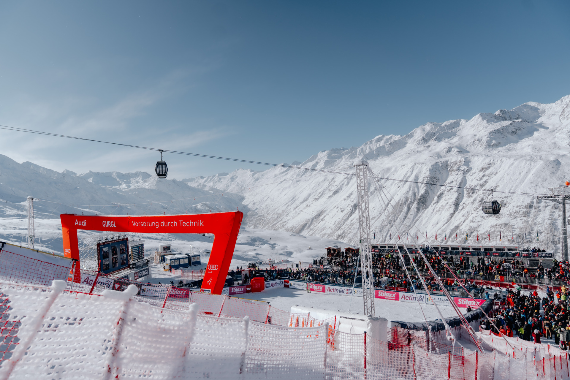 UpcomingGurgl World CupWomen’s and men’s slalom races are scheduled on the Kirchenkar World Cup piste on 21–22 November.
PLACE CA-003 / Laurentian Mountains
Plan Tremblant’s managed alpine ski area with an independent four-side map, practical base and return orientation, source-linked ticket and transport advice, and clear limits on current skiing and future development.
 069
MAPS / UNDERSTAND THE AREA
Explore the independent community map and practical starting bases. Read the coverage limits and check current opening and access with the operator.
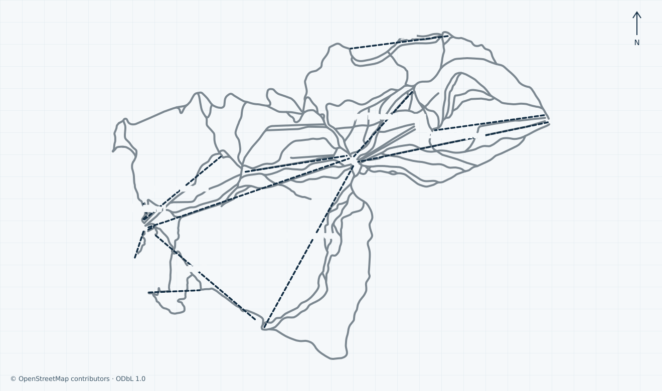
Colours show the published skiing status or confirmed operating calendar, not whether every lift is running. Check the operator before travel.
Confirmed dates change colours automatically in the place’s local time. Tentative dates, conflicting reports and expired checks remain black.
Unconfirmed: the official winter-map landing and its map control are verified, but the current artwork edition, full native rendering and lawful preview or reproduction basis remain unverified; operator artwork is not copied or embedded. The independent map shows available named managed-downhill corridors and passenger alignments across South, North, Soleil and Edge. Proposed Timber Summit, technical/zip lines, rescue-practice and unverified residential lift, private/disused objects, backcountry, unresolved expert and unidentified ways are omitted. Grey pistes have no independently verified local colour. Missing carpets and corridors are not invented. Mapped segments are not the 103-trail inventory, current skiing, ticket entitlement, guaranteed sector connection, safe return or navigation.
HOW THE AREA CONNECTS
Access: Pedestrian village and community gondola / Flying Mile references
Choose the correct meeting point and parking transfer; a village or lift reference does not establish current skiing.
Access: Community Duncan and Expo passenger alignments
This is a separate arrival base. Check suitable open summit links and your return to the correct side before ascending.
Access: Community Soleil Express and Edge references
Existing mapped corridors are separate from proposed Timber Summit. Omitted expert, backcountry and unidentified geometry is not an access invitation.
The pin is near the South gondola base above the pedestrian village. North is a separate arrival choice. Confirm the signed parking transfer, fitting and lesson meeting point at your actual base; the road address does not guarantee a step-free lift transfer.
Community alignments distinguish South gondola/Flying Mile/TGV, North Duncan/Expo/Lowell Thomas, and Soleil/Edge. Choose signed open links suited to your ability and pass. Timber Summit proposals and omitted expert/backcountry corridors are not present access.
Confirm a suitable open descent to the correct base or expressly permitted download, final boarding and the last ground transfer. A season plan, old shuttle timetable or community line cannot guarantee your return to the other side or airport.
01 / FIELD OVERVIEW
Tremblant alpine guide with independent map, South and North base orientation, ticket scope, winter transport, safety, services and explicit current-operation limits.
Independent map of four managed alpine sides
Separate South and North arrival choices
Explicit season-plan, transport and development limits
This guide covers Tremblant’s managed downhill resort in the Laurentians: Versant Sud, Versant Nord, Versant Soleil and Le Edge. The Mont-Tremblant national park, separate Nordic networks, touring routes and the World Cup event have different identities and access rules.
The operator’s statistics page lists a summit at 875 m, 309 hectares, 103 trails and 83.4 km of trails. It separates easy, difficult, and very difficult/extreme categories. These are published resort totals, not independently surveyed measurements or counts derived from OSM segments. Follow the resort’s actual local symbols; their meaning is relative within this ski area.
Conflicting sources: the shared banner describes the Timber Summit vision as starting in winter 2026/27, while the detailed development page places eight new trails and a new quad in 2027/28, with a beginner area announced for 2026. Proposed development is not added to the present map, trail total or operating claim.
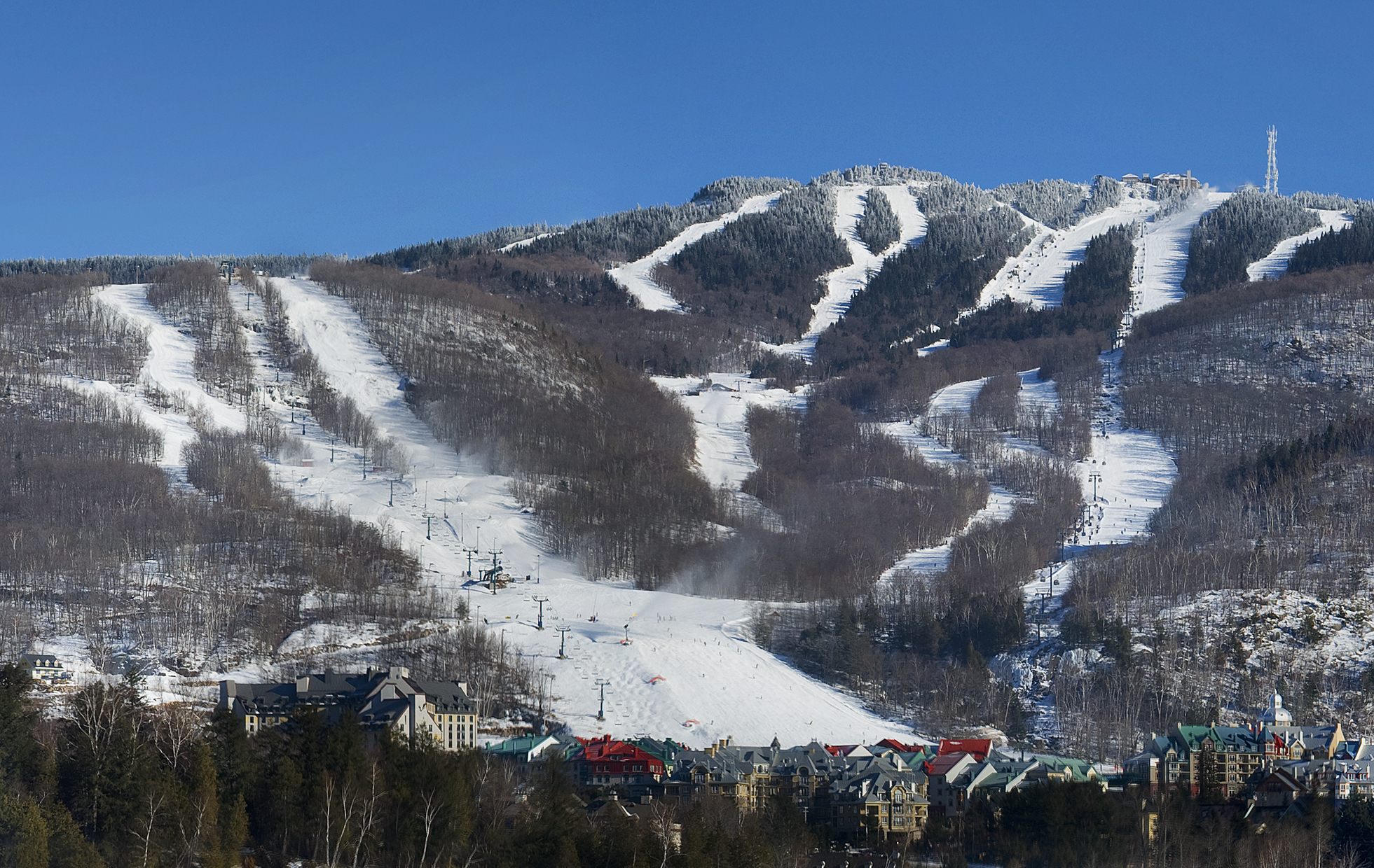
Historical: Alain Carpentier’s photograph shows Tremblant’s South-side slopes and village in January 2008. The source crop was made by Judicieux; the original local JPEG is unchanged, with responsive display crops under CC BY 3.0. It does not show present snow, current installations or the 2026 World Cup course.
The operator lists 15 lifts in several categories: two gondolas, high-speed and fixed chairlifts, four carpets and Cabriolet. That published total is not a count of the independent map’s ways. Community alignments show the South-side Télécabine Express, Flying Mile and TGV, North-side Duncan, Expo and Lowell Thomas, and the Soleil and Edge corridors.
South and North are distinct arrival choices. Ask staff which signed open links suit your ability and ticket before crossing to another side. A passenger alignment, summit connection or scenic-gondola product does not establish a permitted ski journey, accessible boarding or download.
Unconfirmed: actual skiing, individual lift/run status, first and last boarding, authorised download, the new beginner-area opening and a complete suitable return to your base were not established. The checked mountain-report response supplied no usable live rows. Do not use geometry or listed season dates to fill those gaps.
The operator gives 1000 Chemin des Voyageurs as its resort road reference and approximate journeys of 90 minutes from Montréal or two hours from Ottawa. These are planning estimates, not winter travel guarantees. The map pin is near the community-mapped South gondola base; North-side arrival requires a separate route and final transfer.
The parking page directs drivers to follow Chemin Duplessis signs to an available space. Verify current charges, restrictions and the last transfer before leaving the vehicle.
Historical: the retained free parking-shuttle schedule describes summer/autumn 2026, with P3, P2 and Chalet des Voyageurs stops; it is not a verified winter 2026/27 timetable.
The airport-shuttle booking page lists 17 December 2026–4 April 2027 and requires advance reservation. Its dated schedule shows Thursday–Sunday service with an additional weekend journey.
Conflicting sources: embedded summary wording instead describes Thursday, Friday and Sunday operation with two daily returns. Confirm the actual booked date, stop and outbound/return journeys directly; do not assume daily service.
Unconfirmed: winter parking-shuttle hours, accessible transfers, disruption arrangements and a guaranteed connection after your final descent have not been established. Allow for winter road conditions, equipment collection and delays. Book the last ground transfer independently from the final lift.
The 2026/27 winter-ticket page distinguishes date-specific adult tickets for ages 18–69: advance 2–7-day products advertised from CAD 109 per day, a one-day advance rate from CAD 148, a regular CAD 156 rate and a separate high-season range. These are scoped published prices before royalty and taxes, subject to change; they are not a quote for an unspecified date.
The same terms permit a break day for 3–7-day tickets, none for a two-day ticket, collection using the emailed QR code, and refund only up to 72 hours before first planned use. Verify the exact current product, age proof, exclusions and final payable total before purchase. The Canadian-resident Nordik card and seasonal passes have separate rules.
Learning-zone access is a distinct product with its own carpet entitlement; it must not be treated as an unrestricted mountain ticket. Touring access likewise requires its own permitted routes and title.
Unconfirmed: your selected-date availability, final total, complete pass inclusions and current operation are not guaranteed by these listings.
Tremblant’s code requires controlled skiing, priority for people downhill, visible stopping places, equipment retention, compliance with closures and careful lift use. Ask the attendant for boarding help and use marked open terrain suited to your ability. Local green-circle, blue-square and black/double-black signs cannot be converted into a universal grade.
The operator warns of hidden rocks, stumps, tight turns and ungroomed surfaces in glades, and of grooming machinery, snowmaking and reserved training/race areas. Do not cross ropes or use a closed piste to finish a circuit. Uphill travel is confined to designated authorised zones with a valid access product; this downhill map gives no touring permission.
The ski-patrol page identifies its principal office at Rendez-Vous at the summit. In an incident, contact staff or patrol and report the exact run and nearest marker.
Unconfirmed: current patrol deployment, rescue charges, assistance coverage and a safe complete return for your chosen base are not established. Confirm the descent or expressly permitted download before ascending, and stop if weather, closures or your ability prevent it.
Tremblant Snow School lists private, group and multiday ski/snowboard lessons for several age groups, with a booking calendar spanning the advertised season. Reserve for the actual date, level and meeting point; a product listing or displayed results count does not prove an available instructor or include equipment and a mountain pass.
The rental catalogue offers ski and snowboard packages and separate delivery services. Confirm fit, equipment contents, collection base, return deadline, payment and cancellation terms before booking. The current service-hours page mixes year-round desks with summer closures and ski-season locker/kiosk information; desk hours are not lift hours.
The operator lists central reservations at 1-888-738-1777, normally 09:00–17:00 with Christmas Day and New Year’s Day exceptions. This is a published contact, not a tested response line. Its policies describe adaptive arrangements and companion conditions, which require direct confirmation for the individual journey.
Unconfirmed: lesson places and languages, rental stock/prices, a step-free route to your actual base, lift-specific assistance, adaptive-equipment availability and individual winter desk/restaurant hours have not been established. Agree fitting, teaching, boarding and equipment-return arrangements before travelling.
Selected historical name and local-grade references only. The coverage note explains the unavailable current official plan. This list establishes neither the full inventory nor current opening or access.
04 / AT THE BASE
05 / PROFILE BASIS & SOURCES
This profile is based on current information published or supplied by the place or its operator and the dated sources linked below.
All ten scopes reviewed through operator factual pages and independent licensed geographic evidence. Season/product plans, source conflicts, retained transport and unknown present skiing remain explicit. No personal operator confirmation or accepted operator-artwork comparison is claimed.
The hero image is an authentic photograph by Alain Carpentier; source crop by Judicieux, reused under the CC BY 3.0 license.
Historical: Alain Carpentier’s photograph shows Tremblant’s South-side slopes and village in January 2008. The source crop was made by Judicieux; the original local JPEG is unchanged, with responsive display crops under CC BY 3.0. It does not show present snow, current installations or the 2026 World Cup course.
Managed alpine identity and four-sided resort. Source-scoped independent factual planning only; no current operation, artwork reuse or personal confirmation inferred.
Published mountain statistics and local classification. Source-scoped independent factual planning only; no current operation, artwork reuse or personal confirmation inferred.
Listed 2026/27 season and mixed service-hour scope. Source-scoped independent factual planning only; no current operation, artwork reuse or personal confirmation inferred.
Actual live-report source, no accepted current rows. Source-scoped independent factual planning only; no current operation, artwork reuse or personal confirmation inferred.
Operator map directory; edition/remote display unverified. Source-scoped independent factual planning only; no current operation, artwork reuse or personal confirmation inferred.
Timber Summit and beginner-area development plans. Source-scoped independent factual planning only; no current operation, artwork reuse or personal confirmation inferred.
Resort address and road/airport approach. Source-scoped independent factual planning only; no current operation, artwork reuse or personal confirmation inferred.
Parking rules and retained summer/autumn shuttle. Source-scoped independent factual planning only; no current operation, artwork reuse or personal confirmation inferred.
2026/27 airport product, dated schedule and summary conflict. Source-scoped independent factual planning only; no current operation, artwork reuse or personal confirmation inferred.
2026/27 date-specific ski tickets and terms. Source-scoped independent factual planning only; no current operation, artwork reuse or personal confirmation inferred.
Separate passes, resident cards and touring access. Source-scoped independent factual planning only; no current operation, artwork reuse or personal confirmation inferred.
Mountain code, relative symbols, closures and equipment rules. Source-scoped independent factual planning only; no current operation, artwork reuse or personal confirmation inferred.
Ski-patrol role and summit office. Source-scoped independent factual planning only; no current operation, artwork reuse or personal confirmation inferred.
Lesson products and advertised booking calendar. Source-scoped independent factual planning only; no current operation, artwork reuse or personal confirmation inferred.
Rental catalogue; availability not inferred. Source-scoped independent factual planning only; no current operation, artwork reuse or personal confirmation inferred.
Public reservations contact and service hours. Source-scoped independent factual planning only; no current operation, artwork reuse or personal confirmation inferred.
Public product, accessibility and currency conditions. Source-scoped independent factual planning only; no current operation, artwork reuse or personal confirmation inferred.
Independent ODbL geographic evidence and attribution. Source-scoped independent factual planning only; no current operation, artwork reuse or personal confirmation inferred.
January 2008 archive photograph; CC BY 3.0. Source-scoped independent factual planning only; no current operation, artwork reuse or personal confirmation inferred.