Jonction and southern mountain
Access: Agree the exact lower-base meeting point and an open marked return before ascending.
Central community corridor with southern Mzaar, Renard and Faucon alignments; source names do not establish current service.
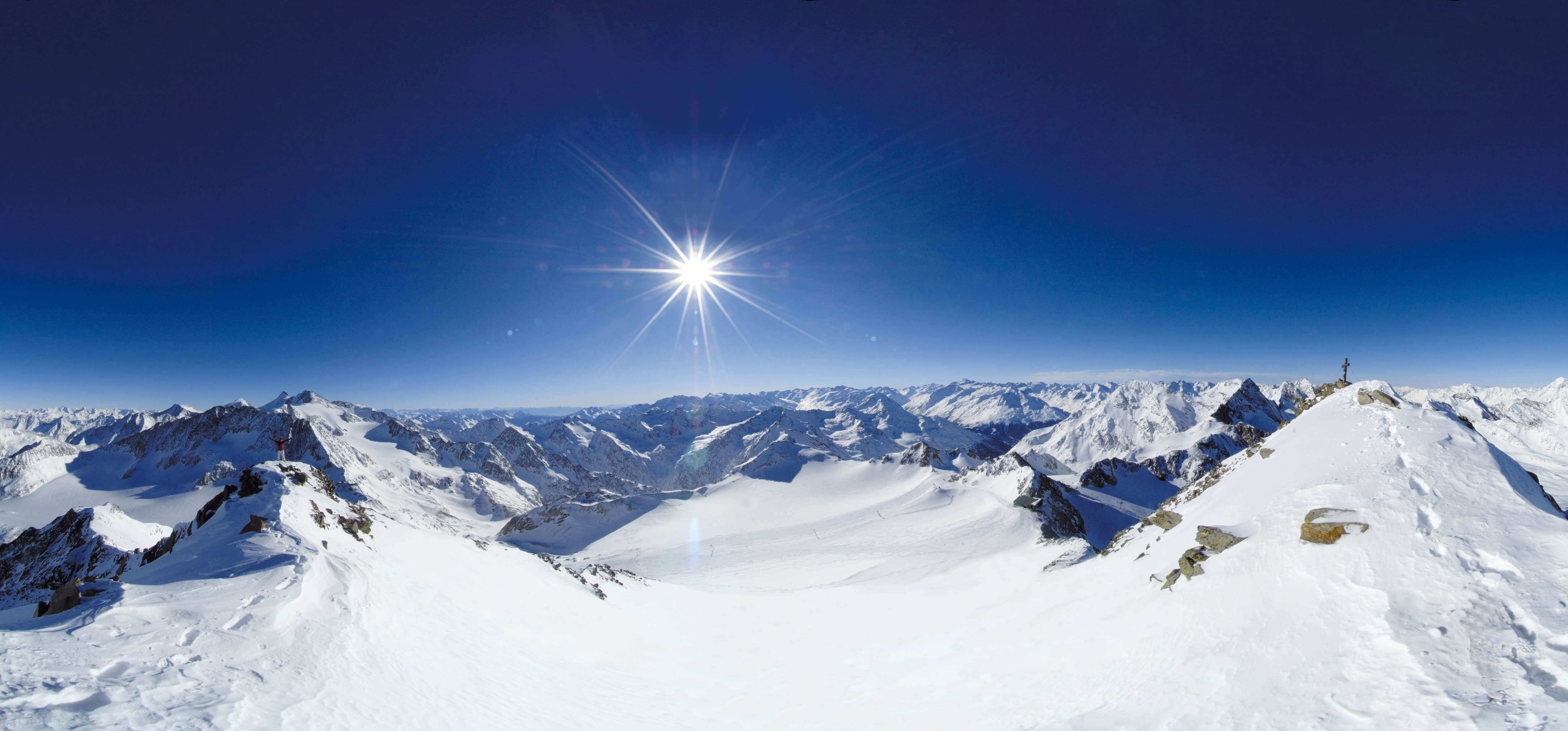 Live nowStubai Zoo Park & Test DaysThe organiser lists Stubai Zoo Park & Test Days for 6–8 November 2026 at Stubai Glacier and in Neustift, Austria. Equipment testing at Eisgrat is scheduled only for Saturday 7 and Sunday 8 November.
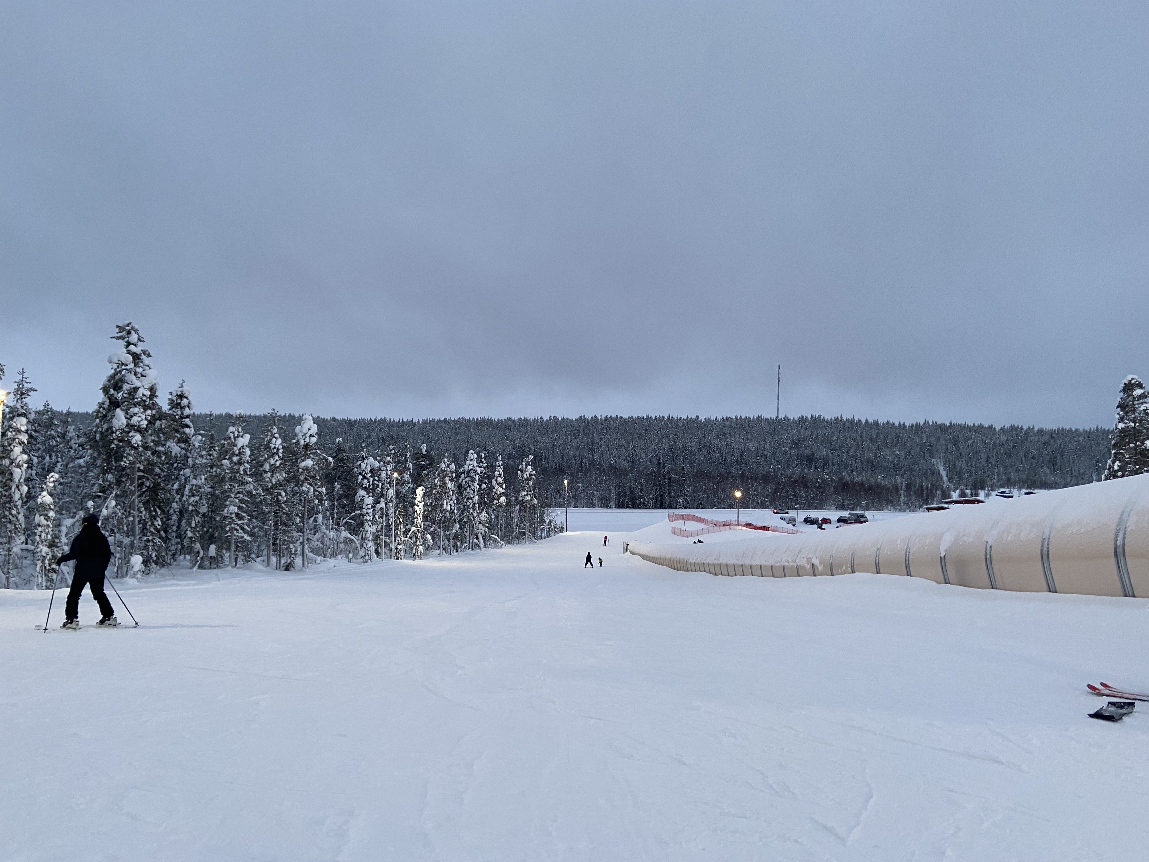 UpcomingLevi World CupThe FIS calendar schedules the women’s and men’s slalom races for 14–15 November in Lapland.
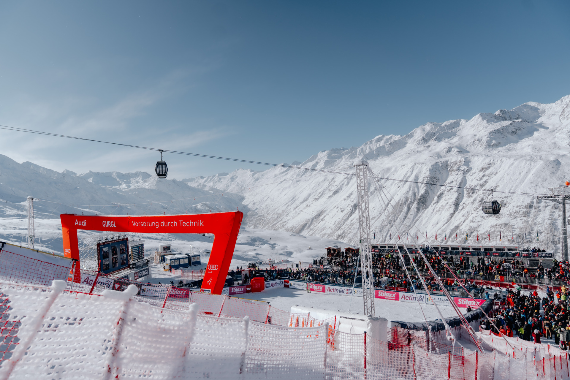 UpcomingGurgl World CupWomen’s and men’s slalom races are scheduled on the Kirchenkar World Cup piste on 21–22 November.
PLACE LB-001 / Mount Lebanon
Three source-listed alpine sectors above Kfardebian, with an independent community map and practical base-to-return planning. Keep Jonction, Refuge and Wardeh distinct, and check the current season, transport and operating limits before travelling.
 041
MAPS / UNDERSTAND THE AREA
Explore the independent community map and practical starting bases. Read the coverage limits and check current opening and access with the operator.
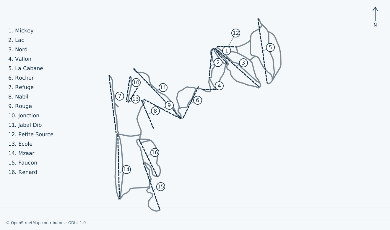
Colours show the published skiing status or confirmed operating calendar, not whether every lift is running. Check the operator before travel.
Confirmed dates change colours automatically in the place’s local time. Tentative dates, conflicting reports and expired checks remain black.
Unconfirmed: the operator’s interactive map returned a loading shell; its artwork, edition and current footprint were not independently verified, so no official preview is displayed. Independent OSM geometry covers the Jonction/Refuge core, southern Mzaar–Renard–Faucon alignments and north-eastern Wardeh. Neighbouring Faqra and unresolved Baby, Training, Kaoumeh and anonymous lift alignments are omitted; no removal or permanent-closure claim is made. Refuge Nord and Donald are not verified separate mapped installations. Community names and joins do not prove current operator aliases, local grades, open inter-sector links, pass coverage, grooming or permitted safe access. Map objects are not an official piste/lift inventory. Grey pistes have no accepted local colour; this is not a navigation or opening guarantee.
HOW THE AREA CONNECTS
Access: Agree the exact lower-base meeting point and an open marked return before ascending.
Central community corridor with southern Mzaar, Renard and Faucon alignments; source names do not establish current service.
Access: Western community corridor, with the actual transfer and final return to be confirmed locally.
Separate source-listed sector; uncertain training installations and invented link guarantees are omitted.
Access: North-eastern community corridor; confirm sector access and a return to your own pickup point.
Named source alignments including Mickey, Lac, Nord and La Cabane; no current opening, local grade or all-sector pass promise.
The operator lists Jonction, Refuge and Wardeh separately. The approximate pin is at the community-mapped northern Jonction station; confirm your equipment, lesson and pickup point directly. Faraya village and neighbouring Faqra are different destinations, and the pin does not guarantee parking or a step-free approach.
The independent map places Refuge west of the central Jonction corridor, Mzaar–Renard–Faucon to the south and Wardeh to the north-east. Community joins are geographic references only. Unconfirmed: open inter-sector continuity, lift aliases, pass coverage and permitted transfers require staff confirmation.
Before boarding, confirm the open marked descent to your own base, final boarding and a fallback if a link closes. Unconfirmed: current last-lift times and downhill passenger carriage are not established. Do not improvise a traverse through map gaps, Faqra or touring terrain to reach your vehicle.
01 / FIELD OVERVIEW
A sourced Mzaar Kfardebian planning guide with a licensed independent ski map, three-sector orientation, practical arrival and ticket advice, and visible season, inventory and safety limitations.
Jonction, Refuge and Wardeh orientation
Independent scoped ODbL map
Explicit operating, fare and travel limits
Mzaar Kfardebian is the managed alpine area above Kfardebian in Mount Lebanon. The operator groups its public status entries into Jonction, Refuge and Wardeh, with a stated base-to-summit range of 1,850–2,465 m. Plan around a named sector and meeting point rather than treating Faraya village, neighbouring Faqra and every nearby slope as one ski area.
Conflicting sources: the indexed winter-page version read on 30 October 2026 says 80+ km and 42 lifts, while fresh direct homepage and winter-page responses say 115 km and 19 lifts. These are published promotional scopes, not an independently reconciled current inventory. No total piste count or current open vertical is inferred.
The independent map covers community-mapped Jonction/Refuge corridors, the southern Mzaar–Renard–Faucon alignments and Wardeh to the north-east. Faqra, unresolved training installations, summer mountain-bike routes and zip lines are excluded. Generic community difficulty labels stay grey; they do not establish official local piste colours or suitability for your level.
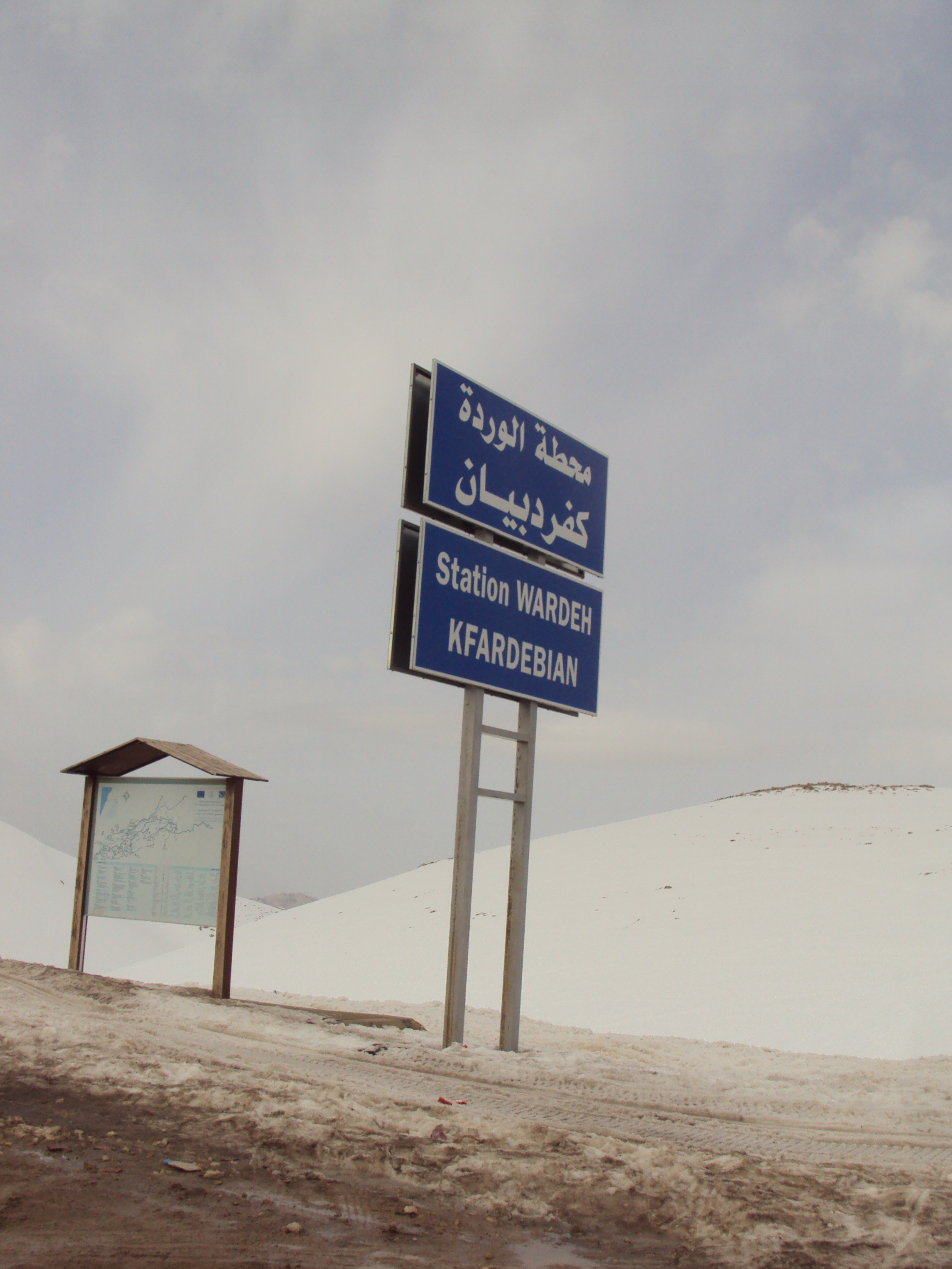
Historical: the Wardeh photograph was uploaded in February 2012. Its file description gives 5 February 2011, while camera metadata gives 5 June 2010; the capture date remains uncertain. It is archive station-and-snow context, not a current condition report or acceptance of the photographed map board.
The operator lists learning-area entries and higher-mountain lift names separately within its three sectors. A passenger lift drawn on the community map is an alignment reference, not a current service report. Community names such as Rouge and École are retained as source labels without inventing exact present-day operator aliases.
Unconfirmed: a dated 2026/27 lift timetable, last boarding, downhill passenger carriage and guaranteed inter-sector connections were not established. The ski activity page displays a generic 480-minute duration; this is not a verified eight-hour lift operating window. The separate scenic-lift activity does not prove access to every installation with ski equipment.
Historical: the booking agent’s undated network page gives usual 08:00 starts and 15:30 weekday / 16:00 weekend-and-holiday finishes; its traveller FAQ instead gives a general 15:30 finish. Neither establishes the coming winter timetable. Arrange a return that remains possible if a link or upper lift closes, and confirm your final descent before leaving your starting sector.
The operator gives Kfardebian, Kesrouan District, Mount Lebanon as its address. The booking agent places the ski slopes at Ouyoune Al Simane above Faraya village, and describes the ascent from the coastal highway through Zouk Mosbeh, Jeita, Ajaltoun and Feytroun. Use a named ski-base meeting point; the approximate Jonction map pin is not a parking entrance or surveyed accessible approach.
The agent advertises arranged airport and accommodation transfers, but its undated driving-time estimates are not a winter journey guarantee. Government travel advice warns about poor driving standards, sudden roadblocks and night driving outside towns, and recommends recognised transport providers. Check the current route and flight situation, and agree a weather-appropriate vehicle, snow equipment, pickup point and fallback return before departure.
Unconfirmed: a dated public winter bus or shuttle timetable, parking charges/capacity and a continuous step-free transfer from drop-off to equipment and lift were not established. A hotel or agent transfer is a separately arranged service. Do not depend on an unverified final lift or an assumed walk between sectors to reach your driver.
On 30 October 2026 the operator’s Axess store showed temporary closure, while the ski activity page directed enquiries to the resort because online booking was unavailable. The nominal Axess sale-conditions link returned the same closed-store wrapper, rather than readable purchase terms. No current numeric fare or bookable offer is established here.
Unconfirmed: 2026/27 day and season prices, weekday/weekend rules, child ages, half-day validity, card deposits, sector coverage and weather/refund conditions require a dated sales document or checkout confirmation. Ask which of Jonction, Wardeh and Refuge is included, which lifts are actually available and whether lessons, equipment or scenic carriage require separate payment.
The booking agent offers packages including lift passes, instruction and equipment, with supplier-specific cancellation policies. That is the agent’s service scope, not a general resort refund promise. Confirm the actual provider and complete price before paying, and keep your purchase evidence. A closed web store does not imply free slope access or permission to use shut lifts.
On 30 October 2026 both the operator homepage and slopes page labelled skiing closed. The slopes page simultaneously retained zero snow-depth fields, a powder label, grooming/icy-run text, an unqualified March 1 snowfall and a three-month-old update label. Do not treat those mixed fields as a coherent current snow, avalanche or safe-opening bulletin.
Unconfirmed: current uphill access permission, patrol staffing, avalanche controls, evacuation coverage and a dated complete skier-rule document were not established. Stay within staff-confirmed open marked terrain, obey local signs and barriers, and do not use community lines as permission for touring, off-piste travel or shortcuts. The operator publishes +961 3 771 211 for on-piste rescue and medical help; establish the day’s reporting arrangements before skiing.
Check current government travel advice for your route and nationality before arranging a trip. The UK source, checked 30 October 2026, warns that security can deteriorate quickly and that travel restrictions apply to specified parts of Lebanon; this guide does not classify every approach as safe. It also warns of unexploded weapons away from well-travelled tracks. Keep transport and departure plans under review and verify insurance cover for your intended skiing and journey.
The resort’s ski and scenic-lift activity pages direct booking enquiries to its contact team. The separate SkiMzaar.com booking agency advertises accommodation, transfers, equipment rental, private instruction and other trip services. Its lesson page asks for dates, morning/afternoon/full-day choice, participant numbers and skiing or snowboarding, and says that participants grouped together should share a level.
Unconfirmed: actual winter rental stock and prices, helmet inclusion, lesson availability/languages, child acceptance, accessible equipment and hands-on assistance require confirmation with the chosen provider. The agent’s undated lesson times and rates are not verified 2026/27 offers. Agree the collection, fitting, meeting point and equipment return without assuming that a lift pass includes them.
For resort information use info@mzaarskiresort.com, corroborated by the official Axess store, or the operator contact page’s published +961 03 666 930. Axess separately lists a Kfardebian main-road office near Igloo and a Dbayeh office; these are not guaranteed slope arrival points. Keep general booking enquiries separate from the mountain emergency number, and confirm which organisation is actually supplying each service.
Selected historical name and local-grade references only. The coverage note explains the unavailable current official plan. This list establishes neither the full inventory nor current opening or access.
04 / AT THE BASE
05 / PROFILE BASIS & SOURCES
This profile is based on current information published or supplied by the place or its operator and the dated sources linked below.
All ten source scopes reviewed for the supported managed-alpine guide. Actual closed labels, stale placeholders, source inventory differences and unconfirmed seasonal/service details remain visible. No personal operator reply or current-artwork match inferred.
The hero image is an authentic photograph by Potatoes8895, reused under the CC BY-SA 3.0 license.
Original JPEG unchanged; responsive CSS cover crops. Source description labels 5 February 2011 but EXIF gives 5 June 2010; capture date uncertain. Uploaded 24 February 2012. Archive Wardeh context only, not current snow, map, access or lift status.
Identity, three sectors, advertised scope and actual closed labels
Advertised 115 km/19 versus older indexed80+/42, not reconciled inventory
Kfardebian address, general and mountain-emergency numbers
Closed label and stale mixed snow fields; no coherent current bulletin
Accessible text shell only; artwork/edition/current footprint unaccepted
Contact booking; generic duration not lift timetable
Separate pedestrian enquiry, not universal ski/downhill-carriage permission
Temporary closure, official-domain info email and office contacts
No accepted readable purchase/refund terms
Ouyoune Al Simane approach, not dated road access or guaranteed travel time
Separate equipment, lessons, accommodation and transfers; supplier terms
Booking details and same-level groups; current rates/availability unconfirmed
Transfer arrangements and general hour scope, not current operator timetable
Agent distinct from mountain operator
Three-domain names and usual hours; no current operation inferred
Dated route-specific advice, no blanket resort safety clearance
Security/road/remote-track precautions
Independent ODbL geometry and source limits
Genuine location, CC BY-SA3.0, actual upload and conflicting caption/EXIF capture dates