REGIONAL INDEX / AUSTRALIA

New South Wales

Every source-checked Index.ski skier base currently published in this region, with piste maps, sector connections and practical arrival information.

Verified places: 02Places with piste maps: 02Skiing areas: 01

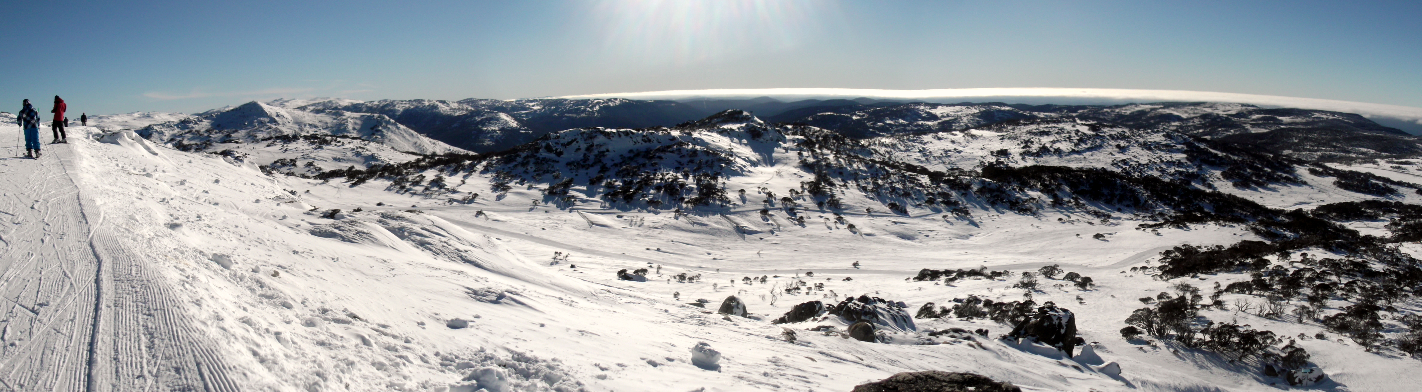
Photo: Talvinlee / Wikimedia Commons · CC BY-SA 3.0
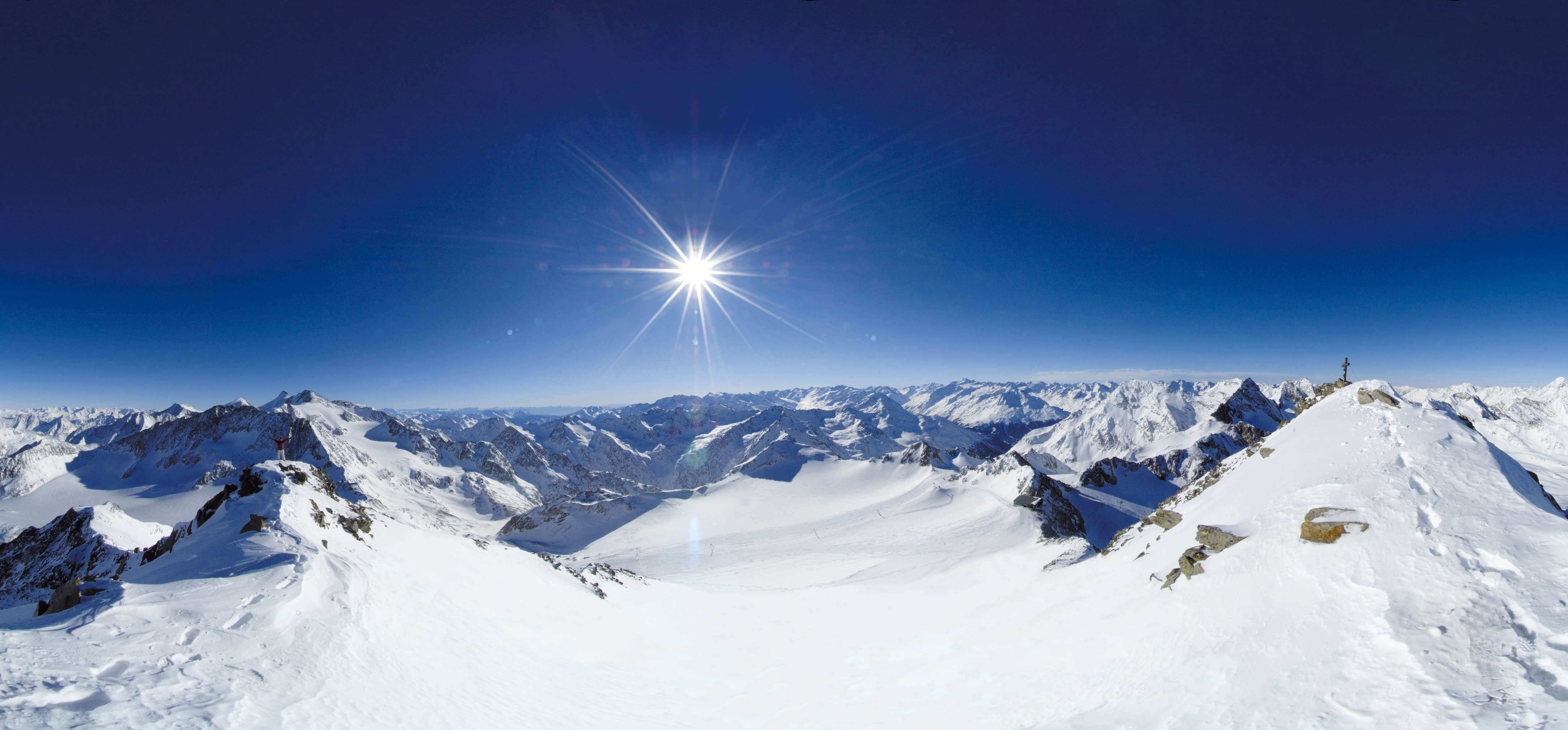
Genuine 6 July 2012 panorama from Perisher toward Blue Cow by Talvinlee; archive mountain context, not current snow or lift conditions.

PRACTICAL SKIER BASES

See the region before choosing a ski area.

Markers show practical skier-base coordinates, not a town-centre approximation. Select a marker to open the full place profile.

New South Wales2 verified places
  • Open for skiing
  • Closed today · opening within 14 days
  • Closed for skiing
  • Unknown / uncertain

Colours show the published skiing status or confirmed operating calendar, not whether every lift is running. Check the operator before travel.

Confirmed dates change colours automatically in the place’s local time. Tentative dates, conflicting reports and expired checks remain black.

REGIONAL PLACE GUIDES

Published destinations in New South Wales.

OPERATOR SOURCES CHECKED
Genuine 6 July 2012 panorama from Perisher toward Blue Cow by Talvinlee; archive mountain context, not current snow or lift conditions. 2026 ski season ended014

Snowy Mountains

Perisher alpine resort

Perisher Valley, Australia

Four alpine areas in Kosciuszko National Park, from learning terrain at Smiggin Holes to the open mountain slopes of Perisher, Blue Cow and Guthega.

Perisher Valley, Smiggin Holes, Blue Cow and Guthega 45 advertised lifts: chairlifts, T-bars, J-bars, conveyors and rope tows; Skitube railway counted separately.
Full place guide
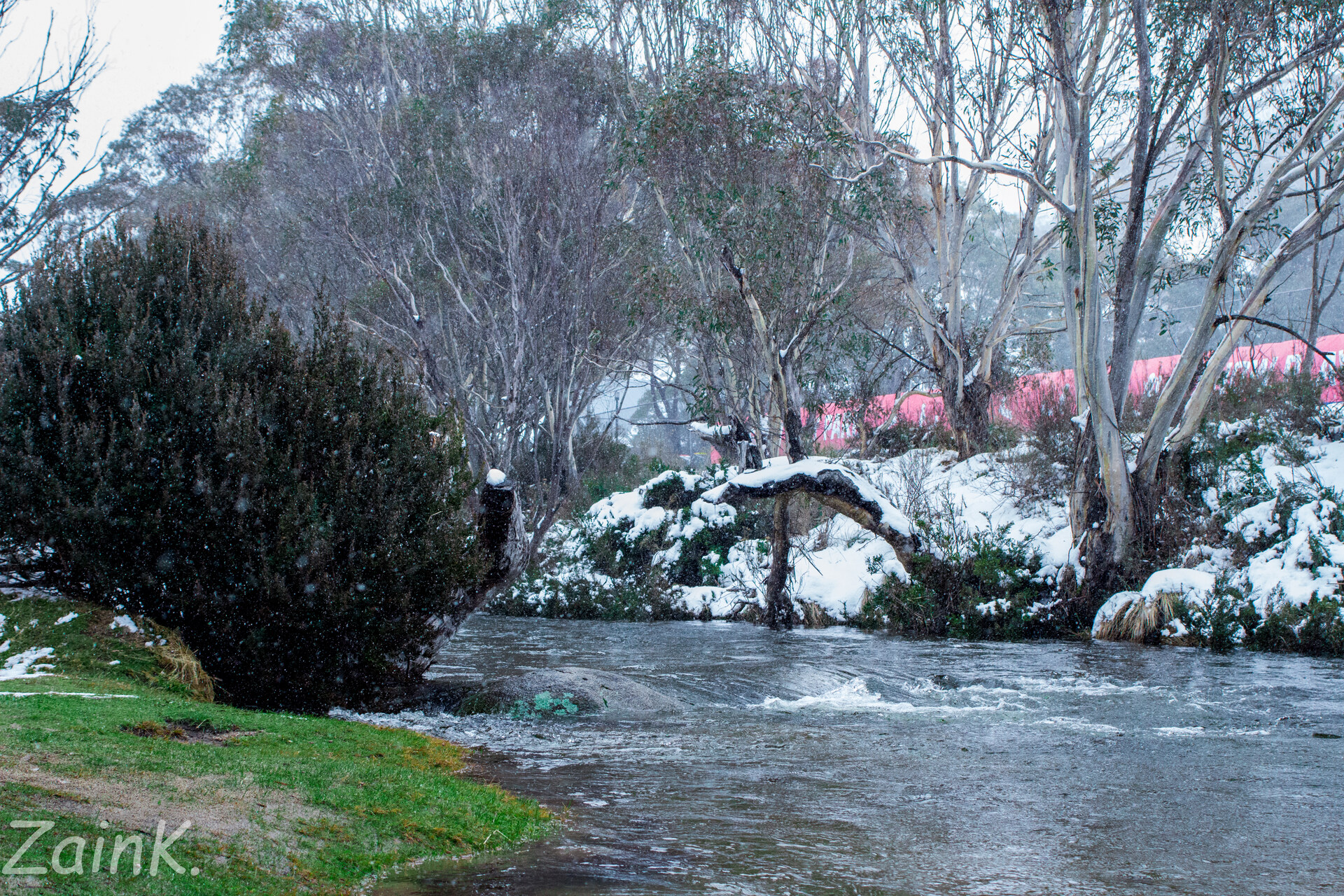
Historical July 2016 photograph of the Thredbo River, snowy village trees and a red-roofed building.060

Snowy Mountains

Thredbo

Thredbo, Australia

Plan Thredbo’s managed alpine terrain with an independent map, Friday Flat and Valley Terminal orientation, and source-linked advice for mountain connections, winter passes, arrival, safety and returning to your starting point.

No complete current operator piste inventory has been independently accepted. The map contains 55 named community downhill segments, which are not 55 distinct pistes or the resort’s total terrain. The independent map contains 15 named community passenger ways: chairs, a gondola, surface lifts and conveyors. These objects do not establish the current operator installation inventory or operation.
Full place guide