REGIONAL INDEX / ARMENIA

Kotayk

Every source-checked Index.ski skier base currently published in this region, with piste maps, sector connections and practical arrival information.

Verified places: 01Places with piste maps: 01Skiing areas: 01

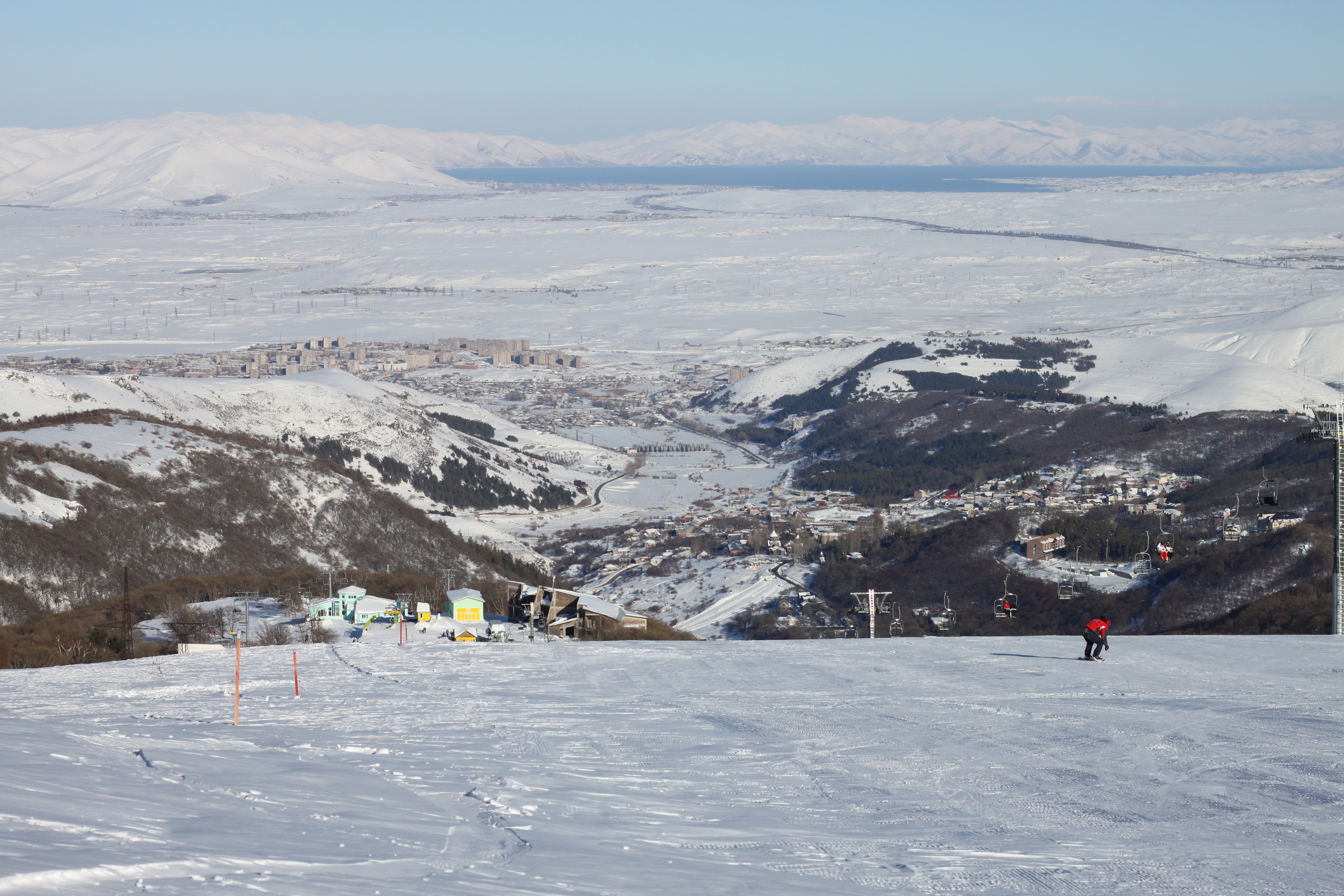
Photo: Serouj Ourishian / Wikimedia Commons · CC BY 3.0
Snow-covered Tsaghkadzor slope, chairlift and town with Lake Sevan in the distance, photographed by Serouj Ourishian on 5 March 2011; historical context.

PRACTICAL SKIER BASES

See the region before choosing a ski area.

Markers show practical skier-base coordinates, not a town-centre approximation. Select a marker to open the full place profile.

Kotayk1 verified place
  • Open for skiing
  • Closed today · opening within 14 days
  • Closed for skiing
  • Unknown / uncertain

Colours show the published skiing status or confirmed operating calendar, not whether every lift is running. Check the operator before travel.

Confirmed dates change colours automatically in the place’s local time. Tentative dates, conflicting reports and expired checks remain black.

REGIONAL PLACE GUIDES

Published destinations in Kotayk.

OPERATOR SOURCES CHECKED
Snow-covered Tsaghkadzor slope, chairlift and town with Lake Sevan in the distance, photographed by Serouj Ourishian on 5 March 2011; historical context.088

Mount Teghenis

Tsaghkadzor

Tsaghkadzor, Armenia

Start at Tsaghkadzor’s lower ropeway base and confirm the complete return before climbing the eastern slope of Mount Teghenis. Use the independent alpine map to understand the lift sectors, distinguish ten-entry and one-day ticket products, and check winter operation directly with staff.

Managed alpine skiing on the eastern Teghenis slope; current inventory and local grades unconfirmed Operator-described chairlift access; five community-mapped passenger alignments require daily operating and return checks.
Full place guide