REGIONAL INDEX / SLOVENIA

Kamnik–Savinja Alps

Every source-checked Index.ski skier base currently published in this region, with piste maps, sector connections and practical arrival information.

Verified places: 01Places with piste maps: 01Skiing areas: 01

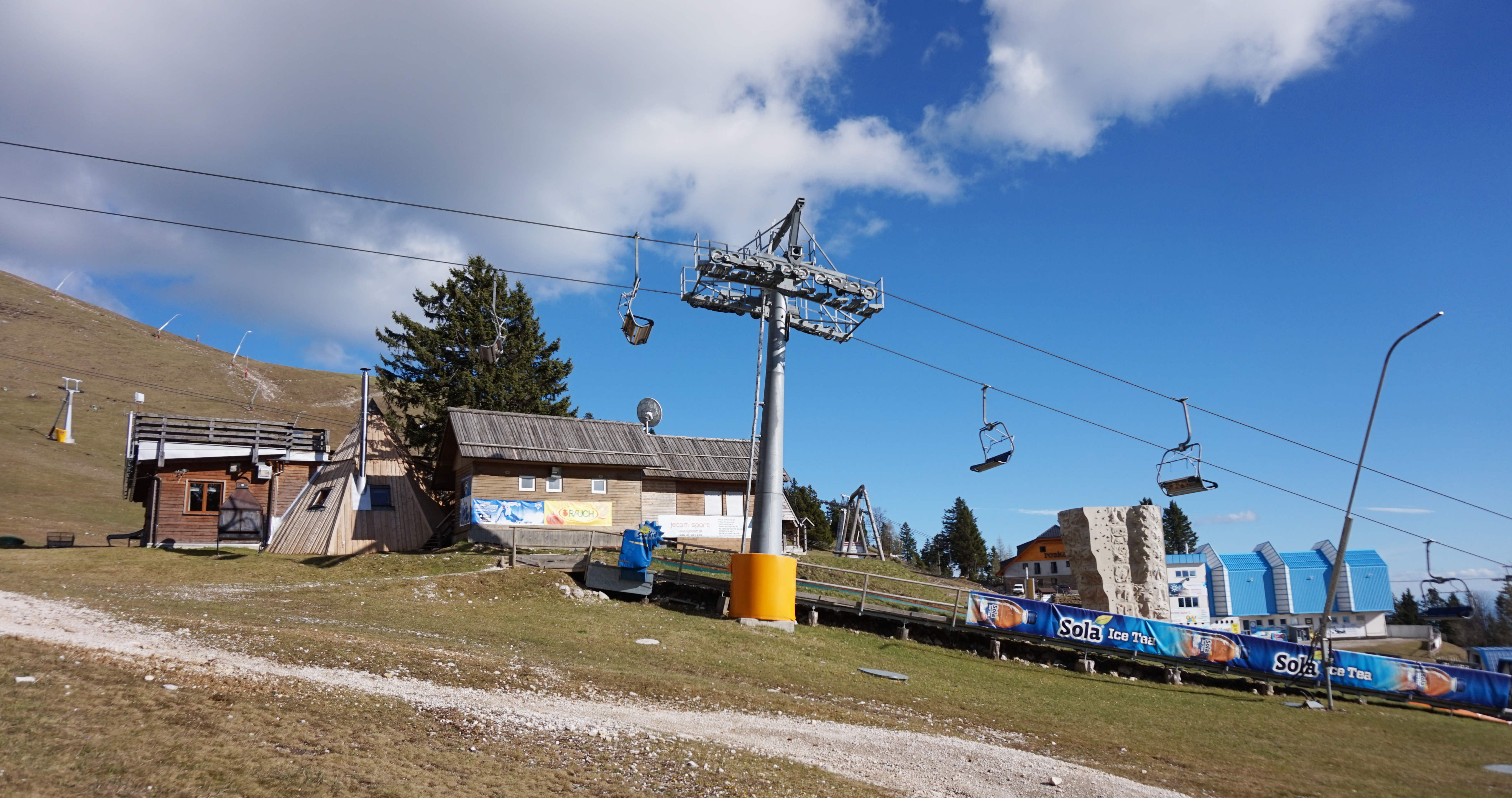
Photo: Tiia Monto / Tiia Monto / Wikimedia Commons · CC BY-SA 3.0
Historical May 2017 Krvavec base-area photograph showing a chairlift terminal, buildings and mostly snow-free ground.

PRACTICAL SKIER BASES

See the region before choosing a ski area.

Markers show practical skier-base coordinates, not a town-centre approximation. Select a marker to open the full place profile.

Kamnik–Savinja Alps1 verified place
  • Open for skiing
  • Closed today · opening within 14 days
  • Closed for skiing
  • Unknown / uncertain

Colours show the published skiing status or confirmed operating calendar, not whether every lift is running. Check the operator before travel.

Confirmed dates change colours automatically in the place’s local time. Tentative dates, conflicting reports and expired checks remain black.

REGIONAL PLACE GUIDES

Published destinations in Kamnik–Savinja Alps.

OPERATOR SOURCES CHECKED
Historical May 2017 Krvavec base-area photograph showing a chairlift terminal, buildings and mostly snow-free ground.057

Kamnik–Savinja Alps

Krvavec

Cerklje na Gorenjskem, Slovenia

Plan Krvavec’s managed alpine skiing above Cerklje na Gorenjskem, with an independent map, cable-car and Gospinca orientation, lift-pass choices and explicit seasonal and safety limits.

The operator advertises 30 km at 1,450–1,971 m. Community way segments and the stale live-page counters are not a verified piste inventory. Cable-car access leads to Gospinca; operator schedules name Tiha dolina, Vrh Krvavca, Zvoh, Kriška planina, Luža and Kržišče. Current installation counts and operation are not established.
Full place guide