REGIONAL INDEX / ARGENTINA

Tierra del Fuego

Every source-checked Index.ski skier base currently published in this region, with piste maps, sector connections and practical arrival information.

Verified places: 01Places with piste maps: 01Skiing areas: 01

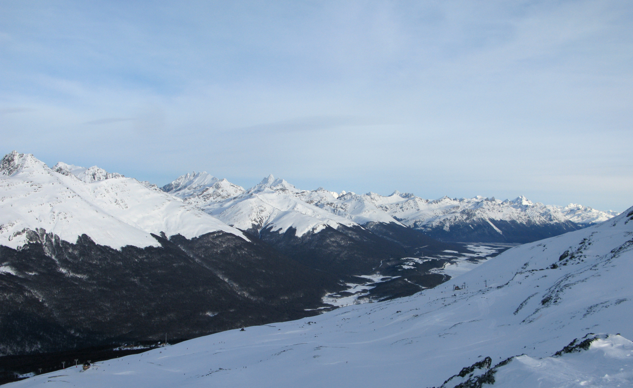
Photo: Serge Ouachée / Butterfly voyages / Serge Ouachée / Wikimedia Commons · CC BY-SA 3.0
Historical August 2010 view from Cerro Castor over snowy slopes, the wooded valley and distant Fuegian mountains.

PRACTICAL SKIER BASES

See the region before choosing a ski area.

Markers show practical skier-base coordinates, not a town-centre approximation. Select a marker to open the full place profile.

Tierra del Fuego1 verified place
  • Open for skiing
  • Closed today · opening within 14 days
  • Closed for skiing
  • Unknown / uncertain

Colours show the published skiing status or confirmed operating calendar, not whether every lift is running. Check the operator before travel.

Confirmed dates change colours automatically in the place’s local time. Tentative dates, conflicting reports and expired checks remain black.

REGIONAL PLACE GUIDES

Published destinations in Tierra del Fuego.

OPERATOR SOURCES CHECKED
Historical August 2010 view from Cerro Castor over snowy slopes, the wooded valley and distant Fuegian mountains.059

Fuegian Andes

Cerro Castor

Ushuaia, Argentina

Plan Cerro Castor’s managed alpine terrain near Ushuaia with an independent map, Route 3 base and Cota 480 orientation, and practical advice for lifts, tickets, safety and returning to your starting point.

The official status table lists 35 numbered entries, including connection paths, Castor Cross and Snowpark. This mixed table and the independent map’s 31 downhill segments are not a fresh alpine-piste inventory. The source table lists six chairlifts, four surface lifts and four conveyors. The independent map contains 11 named community passenger ways; absent community geometry does not prove that an installation is missing or closed.
Full place guide